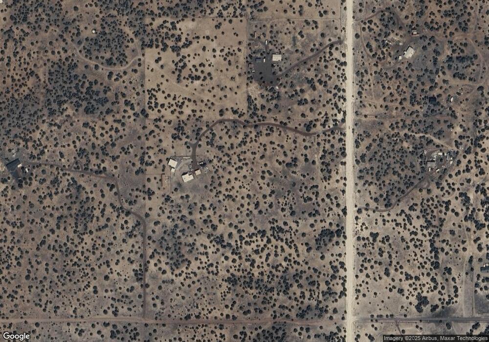
677 Stanford Dr Concho, AZ 85924
Estimated Value: $336,597 - $424,000
--
Bed
--
Bath
2,154
Sq Ft
$177/Sq Ft
Est. Value
About This Home
This home is located at 677 Stanford Dr, Concho, AZ 85924 and is currently estimated at $380,899, approximately $176 per square foot. 677 Stanford Dr is a home.
Ownership History
Date
Name
Owned For
Owner Type
Purchase Details
Closed on
Apr 23, 2021
Sold by
Merrick Peggy Joanne and Goodnough Peggy Joanne
Bought by
Barker Leslie and Roberts Thomas
Current Estimated Value
Purchase Details
Closed on
May 15, 2018
Sold by
Gillogly Ruri
Bought by
Goodnough Theodore C and Goodnough Peggy Joanne
Home Financials for this Owner
Home Financials are based on the most recent Mortgage that was taken out on this home.
Original Mortgage
$100,000
Interest Rate
4.5%
Mortgage Type
New Conventional
Purchase Details
Closed on
Jun 30, 2010
Sold by
Gillogly Thomas J and Gillogly Ruri
Bought by
Gillogly Ruri
Create a Home Valuation Report for This Property
The Home Valuation Report is an in-depth analysis detailing your home's value as well as a comparison with similar homes in the area
Home Values in the Area
Average Home Value in this Area
Purchase History
| Date | Buyer | Sale Price | Title Company |
|---|---|---|---|
| Barker Leslie | $267,000 | Lawyers Title Of Arizona Inc | |
| Goodnough Theodore C | $140,000 | Pioneer Title Agency Inc | |
| Gillogly Ruri | -- | None Available |
Source: Public Records
Mortgage History
| Date | Status | Borrower | Loan Amount |
|---|---|---|---|
| Previous Owner | Goodnough Theodore C | $100,000 |
Source: Public Records
Tax History Compared to Growth
Tax History
| Year | Tax Paid | Tax Assessment Tax Assessment Total Assessment is a certain percentage of the fair market value that is determined by local assessors to be the total taxable value of land and additions on the property. | Land | Improvement |
|---|---|---|---|---|
| 2026 | $966 | $15,377 | -- | -- |
| 2025 | $871 | $14,614 | -- | -- |
| 2024 | $871 | $13,927 | $0 | $0 |
| 2023 | $871 | $13,226 | $0 | $0 |
| 2022 | $1,133 | $12,601 | $0 | $0 |
| 2021 | $981 | $12,004 | $0 | $0 |
| 2020 | $977 | $11,456 | $0 | $0 |
| 2019 | $878 | $10,856 | $0 | $0 |
| 2018 | $1,018 | $10,520 | $0 | $0 |
| 2017 | $527 | $8,837 | $0 | $0 |
| 2016 | $415 | $8,687 | $0 | $0 |
| 2015 | $275 | $8,687 | $0 | $0 |
| 2014 | $275 | $7,788 | $2,241 | $5,548 |
Source: Public Records
Map
Nearby Homes
- 688 Stanford Dr
- 690 Stanford Dr
- Lot 122 123
- 0 Show Low Pines Unit 8 Lot 346 -- Unit 346 6751653
- 9974 Appaloosa Trail
- 44 County Rd
- 13 County Rd
- 0 Cr 8065 Unit 256333
- 7 Cr 8277 Rd
- 21 County Road 8303 --
- 0 N8060
- Lot 092C 8238
- 0 8309
- 45 County Rd 8296 --
- 55 Acr 8050 -- Unit 14
- Lot 35 Cr 8281
- 34 County Road 8308
- 14 Rd Unit 38
- 14 County Road 8249
- 51 County Rd N8060
- 669 Cr 8235 Unit Stanford
- Lot 14A Nacr 8387
- 172 N8202
- 662 County Rd 8235 Unit Stanford, 6.5 miles
- 75 N Acr 8202
- 75 County Road N8202
- 75 Acr Unit 8202
- 75 Acr 8202
- Tract 34 County Road 8256
- 78 County Road 8256
- 690 Cr 8235
- 690 County Road 8235 Unit Stanford Road
- 117 N County Road 8202
- Show Low Pines Unit 8 Lot 423
- Show Low Pines Unit 8 Lots 423 & 424 --
- Show Low Pines Unit 8 Lots 423 & 424 --
- Show Low Pines Unit 8 Lot #423 -- Unit 423
- Show Low Pines Unit 8 Lot #423 --
- 42 Grazia
- 35 County Road 8259
