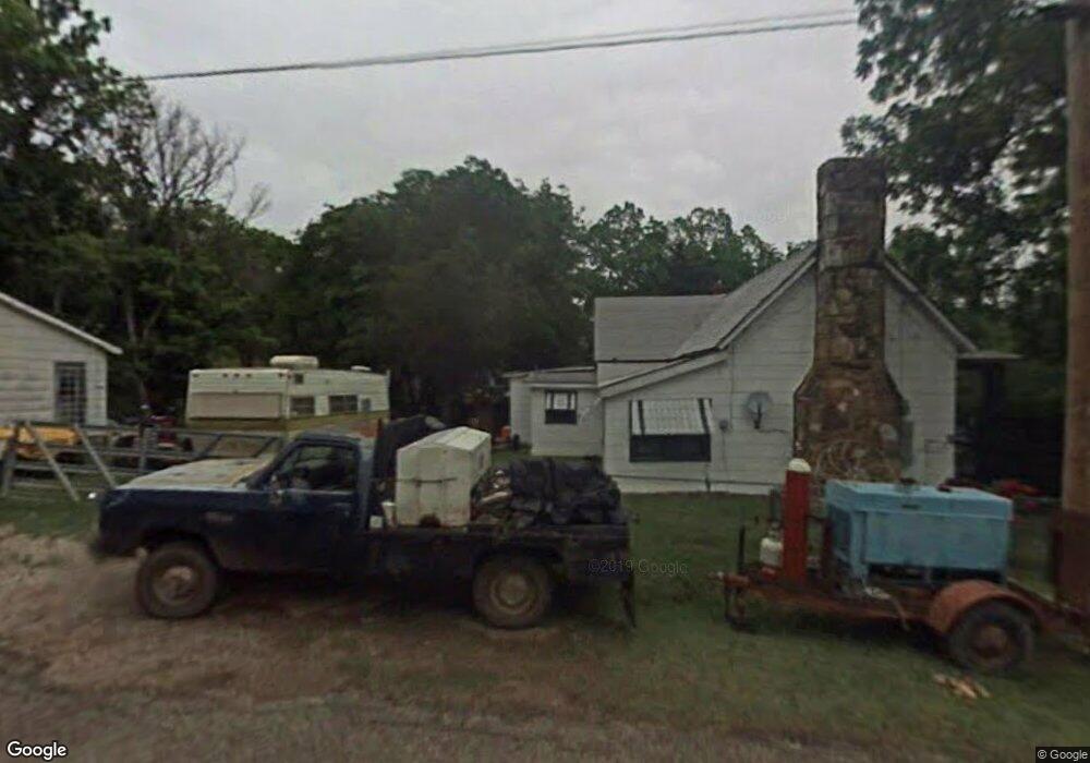
677 State Highway 53 Ardmore, OK 73401
Estimated Value: $65,127 - $230,000
3
Beds
1
Bath
1,086
Sq Ft
$132/Sq Ft
Est. Value
About This Home
This home is located at 677 State Highway 53, Ardmore, OK 73401 and is currently estimated at $143,782, approximately $132 per square foot. 677 State Highway 53 is a home with nearby schools including Springer Elementary School and Springer High School.
Ownership History
Date
Name
Owned For
Owner Type
Purchase Details
Closed on
Aug 2, 2005
Sold by
Ron Co Inc
Bought by
Walker Robert and Short Lonetta
Current Estimated Value
Purchase Details
Closed on
Mar 20, 2000
Sold by
V And R Enterprises, Inc
Bought by
Ron Co, Inc
Purchase Details
Closed on
Jul 2, 1999
Sold by
Gene Autry United Methodi
Bought by
Fisher, Terra S
Purchase Details
Closed on
Mar 11, 1994
Sold by
Brock Jimmy R
Bought by
Gene Autry United Methodi
Purchase Details
Closed on
Dec 31, 1993
Sold by
Haney Allene
Bought by
Brock Jimmy R
Create a Home Valuation Report for This Property
The Home Valuation Report is an in-depth analysis detailing your home's value as well as a comparison with similar homes in the area
Home Values in the Area
Average Home Value in this Area
Purchase History
| Date | Buyer | Sale Price | Title Company |
|---|---|---|---|
| Walker Robert | $22,500 | -- | |
| Ron Co, Inc | $10,000 | -- | |
| Fisher, Terra S | $3,500 | -- | |
| Gene Autry United Methodi | -- | -- | |
| Brock Jimmy R | -- | -- |
Source: Public Records
Tax History Compared to Growth
Tax History
| Year | Tax Paid | Tax Assessment Tax Assessment Total Assessment is a certain percentage of the fair market value that is determined by local assessors to be the total taxable value of land and additions on the property. | Land | Improvement |
|---|---|---|---|---|
| 2025 | $95 | $2,171 | $30 | $2,141 |
| 2024 | $95 | $2,108 | $30 | $2,078 |
| 2023 | $90 | $2,047 | $30 | $2,017 |
| 2022 | $85 | $1,987 | $30 | $1,957 |
| 2021 | $81 | $1,929 | $30 | $1,899 |
| 2020 | $76 | $1,873 | $30 | $1,843 |
| 2019 | $71 | $1,819 | $30 | $1,789 |
| 2018 | $68 | $1,766 | $30 | $1,736 |
| 2017 | $64 | $1,715 | $30 | $1,685 |
| 2016 | $59 | $1,665 | $30 | $1,635 |
| 2015 | $56 | $1,616 | $30 | $1,586 |
| 2014 | $149 | $2,629 | $30 | $2,599 |
Source: Public Records
Map
Nearby Homes
- Two 0.74 Acre (Both Equal 1 48 Acre Parcel Total)
- Two 1.39
- 0.68 Acre Parcel
- 0 Tbd Tumbleweed Rd
- 2304 Pleasant Rd
- 203 Fernwood Rd
- 586 Grassland Rd
- 0 Grassland Rd Unit 2544291
- 0 Grassland Rd Unit 2544372
- 0 Grassland Rd Unit 2544109
- 1416 Smokey Ridge Rd
- 6600 Refinery Rd
- 503 Forest Ln
- 00 Refinery Rd
- 58 Smokey Ridge Rd
- 7 Ponderosa Rd
- 7590 Mount Washington Rd
- 1905 Grandview Rd
- 6080 Red Cedar Rd
- 1617 Ponderosa Rd
- 655 State Highway 53
- 709 State Highway 53a
- 629 State Highway 53a
- 744 State Highway 53a
- 589 State Highway 53
- 775 State Highway 53a
- 39 Terrace St
- 352 Washita St
- 799 State Highway 53a
- 547 State Highway 53
- 550 State Highway 53a
- 334 Prairie St
- 318 Washita St
- 171 Chickasaw St
- 153 Chickasaw St
- 0 Melton Unit 34476
- 0000 Robin
- 000 Hw 53
- 318 Washita St
- 371 Chickasaw Rd