Estimated Value: $413,853 - $630,000
Studio
--
Bath
1
Sq Ft
$564,713/Sq Ft
Est. Value
About This Home
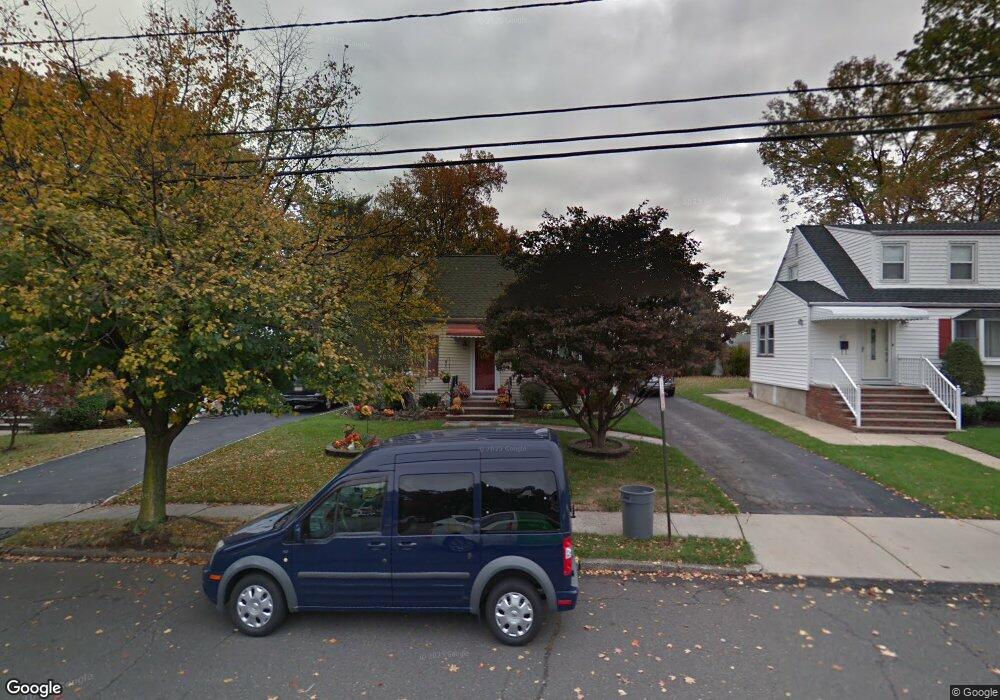
This home is located at 677 Summit Rd, Union, NJ 07083 and is currently estimated at $564,713, approximately $564,713 per square foot. 677 Summit Rd is a home located in Union County with nearby schools including Washington Elementary School, Union High School, and Jewish Educational Center Lower School.
Ownership History
Date
Name
Owned For
Owner Type
Purchase Details
Closed on
Dec 31, 1998
Sold by
Steffel Joseph and Angle Joanne M
Bought by
Steffel Joseph and Steffel Joanne M
Current Estimated Value
Home Financials for this Owner
Home Financials are based on the most recent Mortgage that was taken out on this home.
Original Mortgage
$122,400
Outstanding Balance
$27,851
Interest Rate
6.8%
Estimated Equity
$536,862
Purchase Details
Closed on
Nov 30, 1998
Sold by
Steffel Joseph
Bought by
Steffel Joseph and Angle Joanne M
Home Financials for this Owner
Home Financials are based on the most recent Mortgage that was taken out on this home.
Original Mortgage
$122,400
Outstanding Balance
$27,851
Interest Rate
6.8%
Estimated Equity
$536,862
Purchase Details
Closed on
Oct 23, 1997
Sold by
Plucienik Barbara A
Bought by
Steffel Joseph
Home Financials for this Owner
Home Financials are based on the most recent Mortgage that was taken out on this home.
Original Mortgage
$123,600
Interest Rate
6%
Create a Home Valuation Report for This Property
The Home Valuation Report is an in-depth analysis detailing your home's value as well as a comparison with similar homes in the area
Home Values in the Area
Average Home Value in this Area
Purchase History
| Date | Buyer | Sale Price | Title Company |
|---|---|---|---|
| Steffel Joseph | -- | -- | |
| Steffel Joseph | -- | -- | |
| Steffel Joseph | $154,500 | Lawyers Title Insurance Corp |
Source: Public Records
Mortgage History
| Date | Status | Borrower | Loan Amount |
|---|---|---|---|
| Open | Steffel Joseph | $122,400 | |
| Closed | Steffel Joseph | $123,600 |
Source: Public Records
Tax History
| Year | Tax Paid | Tax Assessment Tax Assessment Total Assessment is a certain percentage of the fair market value that is determined by local assessors to be the total taxable value of land and additions on the property. | Land | Improvement |
|---|---|---|---|---|
| 2025 | $11,220 | $50,200 | $20,500 | $29,700 |
| 2024 | $10,878 | $50,200 | $20,500 | $29,700 |
| 2023 | $10,878 | $50,200 | $20,500 | $29,700 |
| 2022 | $10,500 | $50,200 | $20,500 | $29,700 |
| 2021 | $10,245 | $50,200 | $20,500 | $29,700 |
| 2020 | $10,041 | $50,200 | $20,500 | $29,700 |
| 2019 | $9,906 | $50,200 | $20,500 | $29,700 |
| 2018 | $9,737 | $50,200 | $20,500 | $29,700 |
| 2017 | $9,593 | $50,200 | $20,500 | $29,700 |
| 2016 | $9,359 | $50,200 | $20,500 | $29,700 |
| 2015 | $9,204 | $50,200 | $20,500 | $29,700 |
| 2014 | $8,998 | $50,200 | $20,500 | $29,700 |
Source: Public Records
Map
Nearby Homes
- 925 Woodland Ave
- 305 Hillside Rd Unit 7
- 437 Durling Rd
- 301 Hillside Rd
- 241 Hillside Rd
- 760 Floral Ave Unit 62
- 757 Floral Ave Unit 59
- 749 Cleveland Ave Unit 751
- 737 Bailey Ave Unit 39
- 842 Travers St
- 736 Vivian Terrace
- 825 Bishop St
- 836 Livingston Rd Unit 838
- 172 Glenwood Rd Unit 74
- 1114 Magie Ave Unit 1118
- 40 Raymond Terrace Unit 42
- 138 Monmouth Rd Unit 40
- 161 Morristown Rd Unit 63
- 137-139 Monmouth Rd
- 837 Park Ave Unit 839
Your Personal Tour Guide
Ask me questions while you tour the home.