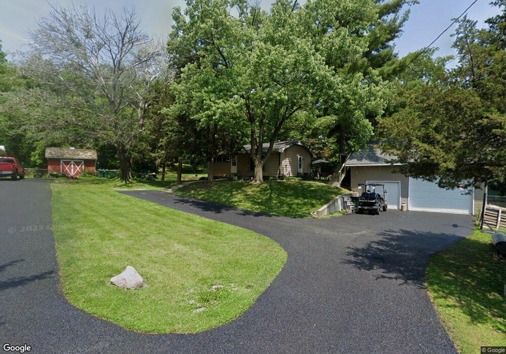
677 Wilson St Marseilles, IL 61341
Estimated Value: $99,000 - $141,000
2
Beds
3
Baths
925
Sq Ft
$129/Sq Ft
Est. Value
About This Home
This home is located at 677 Wilson St, Marseilles, IL 61341 and is currently estimated at $119,464, approximately $129 per square foot. 677 Wilson St is a home located in LaSalle County with nearby schools including Marseilles Elementary School and Ottawa Township High School.
Ownership History
Date
Name
Owned For
Owner Type
Purchase Details
Closed on
Feb 19, 2015
Sold by
Real Property Mgmt Group Llc
Bought by
Real Prop Mgmt Group Llc S116
Current Estimated Value
Purchase Details
Closed on
Sep 17, 2008
Sold by
Deutsche Bank National Trust Co
Bought by
Real Property Management Group Llc
Purchase Details
Closed on
Jul 3, 2008
Sold by
Roberts Jeannette K
Bought by
Deutsche Bank National Trust Co
Create a Home Valuation Report for This Property
The Home Valuation Report is an in-depth analysis detailing your home's value as well as a comparison with similar homes in the area
Home Values in the Area
Average Home Value in this Area
Purchase History
| Date | Buyer | Sale Price | Title Company |
|---|---|---|---|
| Real Prop Mgmt Group Llc S116 | -- | -- | |
| Real Property Management Group | -- | -- | |
| Real Property Management Group Llc | $35,100 | World Title Guaranty Inc | |
| Deutsche Bank National Trust Co | $69,700 | None Available |
Source: Public Records
Tax History Compared to Growth
Tax History
| Year | Tax Paid | Tax Assessment Tax Assessment Total Assessment is a certain percentage of the fair market value that is determined by local assessors to be the total taxable value of land and additions on the property. | Land | Improvement |
|---|---|---|---|---|
| 2024 | $1,532 | $26,245 | $4,666 | $21,579 |
| 2023 | $1,554 | $26,300 | $4,676 | $21,624 |
| 2022 | $861 | $16,053 | $4,458 | $11,595 |
| 2021 | $937 | $16,053 | $4,458 | $11,595 |
| 2020 | $1,486 | $16,053 | $4,458 | $11,595 |
| 2019 | $1,484 | $16,178 | $4,493 | $11,685 |
| 2018 | $1,575 | $16,125 | $4,478 | $11,647 |
| 2017 | $987 | $16,125 | $4,478 | $11,647 |
| 2016 | $986 | $16,208 | $4,501 | $11,707 |
| 2015 | $1,007 | $16,208 | $4,501 | $11,707 |
| 2012 | -- | $18,254 | $5,070 | $13,184 |
Source: Public Records
Map
Nearby Homes
- 1080 E Bluff St
- 9.58 Acres Us Highway 6
- 660 1st Ave
- 664 Oak Ct
- 674 Oak Ct
- 1260 E Bluff St
- 612 Briarwood Rd
- 916-918 Prairie St
- 904-906 Prairie St
- 1385 Washington St
- 516 - 517 Northfork Dr
- 401 Scott St
- 454 Washington St
- 901-903 Colorado St
- 893-895 Colorado St
- 897-899 Colorado St
- 584 Broadway St
- 598 Illinois St
- 521 Broadway St
- 330 E Bluff St