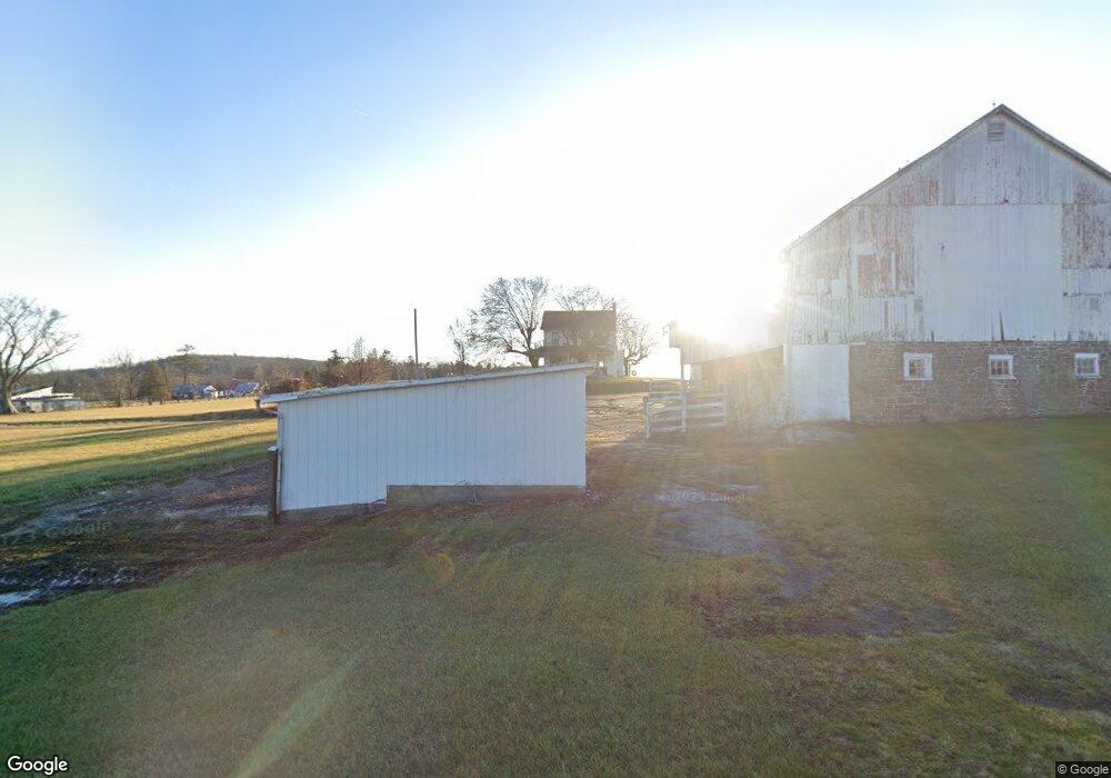
6770 Harmony Grove Rd Dover, PA 17315
Warrington NeighborhoodEstimated Value: $1,180,236
3
Beds
2
Baths
1,644
Sq Ft
$718/Sq Ft
Est. Value
About This Home
This home is located at 6770 Harmony Grove Rd, Dover, PA 17315 and is currently estimated at $1,180,236, approximately $717 per square foot. 6770 Harmony Grove Rd is a home located in York County with nearby schools including Northern Middle School and Northern High School.
Ownership History
Date
Name
Owned For
Owner Type
Purchase Details
Closed on
Jul 27, 2010
Sold by
Anderson Gary L and Estate Of Myrtle M Anderson
Bought by
D & D Bismarck Partnership
Current Estimated Value
Home Financials for this Owner
Home Financials are based on the most recent Mortgage that was taken out on this home.
Original Mortgage
$487,500
Outstanding Balance
$326,173
Interest Rate
4.78%
Mortgage Type
Future Advance Clause Open End Mortgage
Estimated Equity
$854,063
Purchase Details
Closed on
Jan 2, 2002
Sold by
Anderson Myrtle M
Bought by
Myrtle M Anderson Revocable Living Trust
Create a Home Valuation Report for This Property
The Home Valuation Report is an in-depth analysis detailing your home's value as well as a comparison with similar homes in the area
Home Values in the Area
Average Home Value in this Area
Purchase History
| Date | Buyer | Sale Price | Title Company |
|---|---|---|---|
| D & D Bismarck Partnership | $650,000 | None Available | |
| Myrtle M Anderson Revocable Living Trust | -- | -- |
Source: Public Records
Mortgage History
| Date | Status | Borrower | Loan Amount |
|---|---|---|---|
| Open | D & D Bismarck Partnership | $487,500 |
Source: Public Records
Tax History
| Year | Tax Paid | Tax Assessment Tax Assessment Total Assessment is a certain percentage of the fair market value that is determined by local assessors to be the total taxable value of land and additions on the property. | Land | Improvement |
|---|---|---|---|---|
| 2025 | $4,197 | $154,070 | $50,640 | $103,430 |
| 2024 | $4,152 | $154,070 | $50,640 | $103,430 |
| 2023 | $4,068 | $154,070 | $50,640 | $103,430 |
| 2022 | $3,982 | $154,070 | $50,640 | $103,430 |
| 2021 | $3,722 | $154,070 | $50,640 | $103,430 |
| 2020 | $3,633 | $154,070 | $50,640 | $103,430 |
| 2019 | $3,542 | $154,070 | $50,640 | $103,430 |
| 2018 | $3,466 | $154,070 | $50,640 | $103,430 |
| 2017 | $3,466 | $154,070 | $50,640 | $103,430 |
| 2016 | $0 | $154,070 | $50,640 | $103,430 |
| 2015 | -- | $149,460 | $46,030 | $103,430 |
| 2014 | -- | $145,260 | $41,830 | $103,430 |
Source: Public Records
Map
Nearby Homes
- 6691 Harmony Grove Rd
- 4490 Conewago Rd
- 108 Pickett Rd
- 5371 Davidsburg Rd
- 5200 Harmony Grove Rd
- 4275 W Canal Rd
- 600 (AND 580) Ridge Rd
- 11 Tyler Dr
- 84 Charles Ln
- 83 N Main St
- 70 N Main St
- 950 W Spring Valley Rd
- 0 W Canal Rd
- 3046 Greenfield Dr
- 4708 Orchid Way Unit 119
- 3895 Craig Ave
- 2634 Tamela Ave
- 4273 Marlborough Rd
- 375 Mount Zion Rd
- 119 Cedar Dr
- 1655 Detters Mill Rd
- 1595 Detters Mill Rd
- 1625 Detters Mill Rd
- 1565 Detters Mill Rd
- Lot # 7 Detters Mill Rd
- 1675 Detters Mill Rd
- 1555 Detters Mill Rd
- 1685 Detters Mill Rd
- 1695 Detters Mill Rd Unit 180
- 1695 Detters Mill Rd
- 1545 Detters Mill Rd
- 1550 Detters Mill Rd
- 1797 Detters Mill Rd
- 6940 Detters Mill Rd
- 6940 Detters Mill Rd Unit 2
- 1585 Detters Mill Rd
- 40 Red Rock Ave
- 6905 Harmony Grove Rd
- 6921 Detters Mill Rd
- 55 Red Rock Ave
Your Personal Tour Guide
Ask me questions while you tour the home.