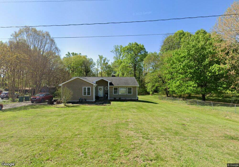
6770 Leward Rd Pfafftown, NC 27040
Estimated Value: $256,000 - $290,000
3
Beds
2
Baths
1,388
Sq Ft
$198/Sq Ft
Est. Value
About This Home
This home is located at 6770 Leward Rd, Pfafftown, NC 27040 and is currently estimated at $275,343, approximately $198 per square foot. 6770 Leward Rd is a home located in Forsyth County with nearby schools including Vienna Elementary School, Thomas Jefferson Middle School, and Ronald W. Reagan High School.
Ownership History
Date
Name
Owned For
Owner Type
Purchase Details
Closed on
Aug 14, 2007
Sold by
Gilmore Joanne M and Gilmore Michael J
Bought by
Gilmore Joanne M and Gilmore Michael J
Current Estimated Value
Purchase Details
Closed on
Apr 28, 2006
Sold by
Smith Ramon E and Smith Saundra C
Bought by
Gilmore Joanne
Home Financials for this Owner
Home Financials are based on the most recent Mortgage that was taken out on this home.
Original Mortgage
$87,000
Outstanding Balance
$49,765
Interest Rate
6.28%
Mortgage Type
Fannie Mae Freddie Mac
Estimated Equity
$225,578
Create a Home Valuation Report for This Property
The Home Valuation Report is an in-depth analysis detailing your home's value as well as a comparison with similar homes in the area
Purchase History
We collect this data history from publicly available records. To have your information removed, we recommend requesting removal directly through your county’s website.
| Date | Buyer | Sale Price | Title Company |
|---|---|---|---|
| Gilmore Joanne M | -- | None Available | |
| Gilmore Joanne | $122,000 | None Available |
Source: Public Records
Mortgage History
We collect this data history from publicly available records. To have your information removed, we recommend requesting removal directly through your county’s website.
| Date | Status | Borrower | Loan Amount |
|---|---|---|---|
| Open | Gilmore Joanne | $87,000 |
Source: Public Records
Tax History
| Year | Tax Paid | Tax Assessment Tax Assessment Total Assessment is a certain percentage of the fair market value that is determined by local assessors to be the total taxable value of land and additions on the property. | Land | Improvement |
|---|---|---|---|---|
| 2025 | $1,421 | $255,300 | $38,000 | $217,300 |
| 2024 | $1,364 | $144,500 | $30,000 | $114,500 |
| 2023 | $1,364 | $144,500 | $30,000 | $114,500 |
| 2022 | $1,364 | $144,500 | $30,000 | $114,500 |
| 2021 | $1,364 | $144,500 | $30,000 | $114,500 |
| 2020 | $1,207 | $119,200 | $22,500 | $96,700 |
| 2019 | $1,219 | $119,200 | $22,500 | $96,700 |
| 2018 | $1,167 | $119,200 | $22,500 | $96,700 |
| 2016 | $905 | $92,126 | $19,500 | $72,626 |
| 2015 | $905 | $92,126 | $19,500 | $72,626 |
| 2014 | $892 | $92,126 | $19,500 | $72,626 |
Source: Public Records
Map
Nearby Homes
- 3511 Manoa Rd
- 6595 Jonathan St
- 1285 Meadow Chase Dr
- 7344 Ridgecrest Trail
- 8003 Summit Park Dr
- 1205 Meadowgate Ln
- 7111 Conrad Farm Rd
- 0 Conrad Rd
- 7291 Pellinore Dr
- 7387 Tristram Dr
- 1060 Wellesley Place Dr
- 6163 & 6167 Olde Fields Way
- 6158 Olde Fields Way
- 105 Honeyridge Ct
- 2133 Benwicke Dr
- 2145 Benwicke Dr
- 130 Ivywood Ct
- 140 Honeyridge Ct
- 2138 Spring Wind Rd
- 7340 Franklin Rd
- 3521 Manoa Rd
- 3501 Manoa Rd
- 3510 Manoa Rd
- 3531 Manoa Rd
- 3520 Manoa Rd
- 6760 Leward Rd
- 3500 Manoa Rd
- 3530 Manoa Rd
- 6771 Leward Rd
- 3541 Manoa Rd
- 6845 Robinhood Rd
- 3540 Manoa Rd
- 6750 Leward Rd
- 6898 Robinhood Rd
- 6761 Leward Rd
- 6900 Robinhood Rd
- 3551 Manoa Rd
- 3550 Manoa Rd
- 3541 Robinwest Dr
- 6850 Robinhood Rd
Your Personal Tour Guide
Ask me questions while you tour the home.