6770 Munsell Rd Howell, MI 48843
Estimated Value: $355,371 - $468,000
3
Beds
1
Bath
1,906
Sq Ft
$207/Sq Ft
Est. Value
About This Home
This home is located at 6770 Munsell Rd, Howell, MI 48843 and is currently estimated at $393,593, approximately $206 per square foot. 6770 Munsell Rd is a home located in Livingston County with nearby schools including Challenger Elementary School, Parker Middle School, and Howell High School.
Ownership History
Date
Name
Owned For
Owner Type
Purchase Details
Closed on
Dec 13, 2002
Sold by
Eckerle Patricia A
Bought by
Eckerle Rudolph C
Current Estimated Value
Home Financials for this Owner
Home Financials are based on the most recent Mortgage that was taken out on this home.
Original Mortgage
$97,000
Interest Rate
5.37%
Purchase Details
Closed on
Mar 14, 2001
Sold by
Eckerle Patricia A
Bought by
Eckerle Rudolph C
Home Financials for this Owner
Home Financials are based on the most recent Mortgage that was taken out on this home.
Original Mortgage
$92,700
Interest Rate
7.13%
Create a Home Valuation Report for This Property
The Home Valuation Report is an in-depth analysis detailing your home's value as well as a comparison with similar homes in the area
Home Values in the Area
Average Home Value in this Area
Purchase History
| Date | Buyer | Sale Price | Title Company |
|---|---|---|---|
| Eckerle Rudolph C | $88,000 | Professional Title & Mtg Svc | |
| Eckerle Rudolph C | -- | -- |
Source: Public Records
Mortgage History
| Date | Status | Borrower | Loan Amount |
|---|---|---|---|
| Closed | Eckerle Rudolph C | $97,000 | |
| Closed | Eckerle Rudolph C | $92,700 |
Source: Public Records
Tax History Compared to Growth
Tax History
| Year | Tax Paid | Tax Assessment Tax Assessment Total Assessment is a certain percentage of the fair market value that is determined by local assessors to be the total taxable value of land and additions on the property. | Land | Improvement |
|---|---|---|---|---|
| 2025 | $1,379 | $145,200 | $0 | $0 |
| 2024 | $877 | $103,900 | $0 | $0 |
| 2023 | $838 | $94,200 | $0 | $0 |
| 2022 | $1,240 | $71,100 | $0 | $0 |
| 2021 | $1,221 | $72,600 | $0 | $0 |
| 2020 | $1,230 | $73,600 | $0 | $0 |
| 2019 | $1,201 | $71,100 | $0 | $0 |
| 2018 | $1,186 | $63,400 | $0 | $0 |
| 2017 | $1,169 | $63,400 | $0 | $0 |
| 2016 | $1,158 | $62,900 | $0 | $0 |
| 2014 | $805 | $45,888 | $0 | $0 |
| 2012 | $805 | $52,461 | $0 | $0 |
Source: Public Records
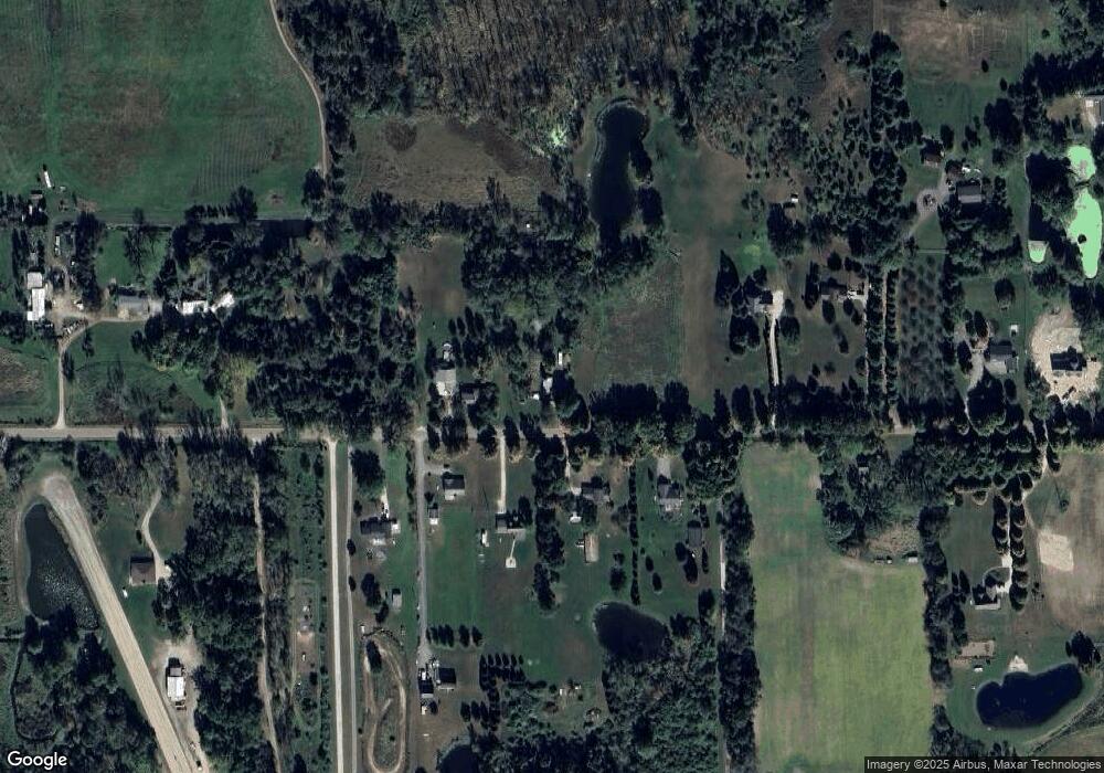
Map
Nearby Homes
- 7031 Munsell Rd
- Parcel 20 Munsell Rd
- 0000 Pingree Rd
- 1088 Kern Rd
- 5748 W Coon Lake Rd
- Parcel A Pingree Rd
- 323 S Truhn Rd
- 4485 Bull Run Rd
- 2960 Cedar Lake Rd
- 3145 Cedar Lake Rd
- 4033 Jewell Rd
- 2699 Cedar Lake Rd
- 00 Fowlerville Rd
- 0 Adelines (Lot 19) Way Unit 217036320
- 0 Adelines (Lot 20) Way Unit 217036090
- 3529 Prescott Dr Unit 40
- 625 Fowlerville Rd
- 3690 W Coon Lake Rd
- 5490 Pingree Rd
- 6111 Sargent Rd
- 7030 Munsell Rd
- 7030 Munsell Rd
- 7030 Munsell Rd
- 6640 Munsell Rd
- 6640 Munsell Rd
- 6640 Munsell Rd
- 6849 Munsell Rd
- 6737 Munsell Rd
- 6618 Munsell Rd
- 6881 Munsell Rd
- 6827 Munsell Rd
- 7050 Munsell Rd
- 7050 Munsell Rd
- 7050 Munsell Rd
- 6685 Munsell Rd
- 6576 Munsell Rd
- 6601 Munsell Rd
- 6601 Munsell Rd
- 6601 Munsell Rd
- 6867 Munsell Rd