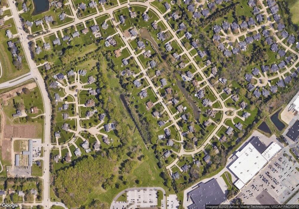
6770 Rockport Ln Mentor, OH 44060
Estimated Value: $370,000 - $430,000
3
Beds
2
Baths
1,806
Sq Ft
$223/Sq Ft
Est. Value
About This Home
This home is located at 6770 Rockport Ln, Mentor, OH 44060 and is currently estimated at $402,798, approximately $223 per square foot. 6770 Rockport Ln is a home located in Lake County with nearby schools including Fairfax Elementary School, Memorial Middle School, and Mentor High School.
Ownership History
Date
Name
Owned For
Owner Type
Purchase Details
Closed on
May 16, 2013
Sold by
St Hilaire Victor A and St Hilaire Susan C
Bought by
St Hilaire Victor A and St Hilaire Susan C
Current Estimated Value
Purchase Details
Closed on
Dec 11, 2003
Sold by
Degner Darin Dale and Degner Michel K
Bought by
Sthilaire Victor A and Sthilaire Susan C
Purchase Details
Closed on
Mar 30, 1999
Sold by
Bingaman William E and Bingaman Kimberly A
Bought by
Degner Darin Dale
Home Financials for this Owner
Home Financials are based on the most recent Mortgage that was taken out on this home.
Original Mortgage
$192,600
Outstanding Balance
$48,161
Interest Rate
6.89%
Estimated Equity
$354,637
Purchase Details
Closed on
Mar 10, 1994
Bought by
Bingaman William E
Create a Home Valuation Report for This Property
The Home Valuation Report is an in-depth analysis detailing your home's value as well as a comparison with similar homes in the area
Home Values in the Area
Average Home Value in this Area
Purchase History
| Date | Buyer | Sale Price | Title Company |
|---|---|---|---|
| St Hilaire Victor A | -- | None Available | |
| Sthilaire Victor A | $238,000 | Conway Land Title Company | |
| Degner Darin Dale | $214,000 | Midland Title Security Inc | |
| Bingaman William E | $185,000 | -- |
Source: Public Records
Mortgage History
| Date | Status | Borrower | Loan Amount |
|---|---|---|---|
| Open | Degner Darin Dale | $192,600 |
Source: Public Records
Tax History Compared to Growth
Tax History
| Year | Tax Paid | Tax Assessment Tax Assessment Total Assessment is a certain percentage of the fair market value that is determined by local assessors to be the total taxable value of land and additions on the property. | Land | Improvement |
|---|---|---|---|---|
| 2024 | -- | $128,660 | $30,240 | $98,420 |
| 2023 | $10,324 | $99,360 | $25,200 | $74,160 |
| 2022 | $4,292 | $99,360 | $25,200 | $74,160 |
| 2021 | $4,284 | $99,360 | $25,200 | $74,160 |
| 2020 | $4,004 | $82,800 | $21,000 | $61,800 |
| 2019 | $4,008 | $82,800 | $21,000 | $61,800 |
| 2018 | $3,934 | $77,190 | $17,480 | $59,710 |
| 2017 | $3,878 | $77,190 | $17,480 | $59,710 |
| 2016 | $3,851 | $77,190 | $17,480 | $59,710 |
| 2015 | $3,428 | $77,190 | $17,480 | $59,710 |
| 2014 | $3,479 | $77,190 | $17,480 | $59,710 |
| 2013 | $3,482 | $77,190 | $17,480 | $59,710 |
Source: Public Records
Map
Nearby Homes
- 139 Mill Morr Dr
- 9211 Sugarbush Dr
- 6509 Hudson Ave
- 9279 Jackson St
- 9681 Abbeyshire Way
- 317 Chesapeake Cove Unit 317
- 7119 Wayside Dr
- 6931 Chairmans Ct
- 110 Hampshire Cove Unit 110
- 1936 Mentor Ave
- 104 Tulip Ln
- 41 Warrington Ln
- 2155 Ridgebury Dr
- 6738 Connecticut Colony Cir
- 135 Nantucket Cir
- 9025 Jackson St
- 9820 Old Johnnycake Ridge Rd Unit 5
- 9151 Mentor Ave Unit E19
- 9005 Jackson St
- 146 Garfield Dr
- 6780 Rockport Ln
- 6760 Rockport Ln
- 6790 Rockport Ln
- 6750 Rockport Ln
- 6773 Rockport Ln
- 6783 Rockport Ln
- 6763 Rockport Ln
- 6793 Rockport Ln
- 6800 Rockport Ln
- 6753 Rockport Ln
- 6740 Rockport Ln
- 6803 Rockport Ln
- 6743 Rockport Ln
- 6810 Rockport Ln
- 9437 Blue Bell Ct
- 9452 Whalers Cove
- 9448 Whalers Cove
- 6730 Rockport Ln
- 6809 Rockport Ln
- 9462 Whalers Cove
