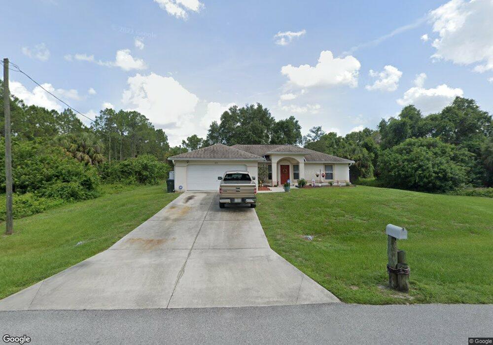
6771 Dalewood Cir North Port, FL 34288
Estimated Value: $278,000 - $336,000
3
Beds
2
Baths
2,157
Sq Ft
$140/Sq Ft
Est. Value
About This Home
This home is located at 6771 Dalewood Cir, North Port, FL 34288 and is currently estimated at $302,413, approximately $140 per square foot. 6771 Dalewood Cir is a home located in Sarasota County with nearby schools including Atwater Elementary School, North Port High School, and Woodland Middle School.
Ownership History
Date
Name
Owned For
Owner Type
Purchase Details
Closed on
Dec 1, 2014
Sold by
Goddard Michael D and Goddard Christine K
Bought by
Bill John K
Current Estimated Value
Purchase Details
Closed on
Nov 23, 2004
Sold by
Gulfstream Development Group Llc
Bought by
Goddard Michael D and Goddard Christine K
Home Financials for this Owner
Home Financials are based on the most recent Mortgage that was taken out on this home.
Original Mortgage
$184,000
Interest Rate
7%
Mortgage Type
Construction
Create a Home Valuation Report for This Property
The Home Valuation Report is an in-depth analysis detailing your home's value as well as a comparison with similar homes in the area
Home Values in the Area
Average Home Value in this Area
Purchase History
| Date | Buyer | Sale Price | Title Company |
|---|---|---|---|
| Bill John K | $122,000 | Stewart Title Company | |
| Goddard Michael D | $30,000 | Paradise Title Services Inc |
Source: Public Records
Mortgage History
| Date | Status | Borrower | Loan Amount |
|---|---|---|---|
| Previous Owner | Goddard Michael D | $184,000 |
Source: Public Records
Tax History Compared to Growth
Tax History
| Year | Tax Paid | Tax Assessment Tax Assessment Total Assessment is a certain percentage of the fair market value that is determined by local assessors to be the total taxable value of land and additions on the property. | Land | Improvement |
|---|---|---|---|---|
| 2024 | $1,876 | $127,521 | -- | -- |
| 2023 | $1,876 | $112,407 | $0 | $0 |
| 2022 | $1,984 | $120,533 | $0 | $0 |
| 2021 | $1,935 | $117,022 | $0 | $0 |
| 2020 | $1,900 | $115,406 | $0 | $0 |
| 2019 | $1,851 | $112,811 | $0 | $0 |
| 2018 | $1,720 | $110,708 | $0 | $0 |
| 2017 | $1,683 | $108,431 | $0 | $0 |
| 2016 | $1,562 | $120,000 | $2,600 | $117,400 |
| 2015 | $1,576 | $99,200 | $2,100 | $97,100 |
| 2014 | $2,039 | $83,710 | $0 | $0 |
Source: Public Records
Map
Nearby Homes
- 0 Filbert St Unit MFRA4664310
- LOT 15 Fairoaks Dr
- 6263 Dalewood
- 0 Fielding St
- 0 Dalewood Cir Unit MFRC7497302
- 0 Dalewood Cir Unit MFRC7517015
- 0 Dalewood Cir Unit MFRO6327817
- 0 Dalewood Cir Unit MFRA4661263
- 0 Dalewood Cir Unit 225060962
- 0 Dalewood Cir Unit MFRC7495567
- 6338 Fanning St
- Lots 35 & 36 Devonshire Cir
- 1131208916 Custer Cir
- Lots 21 & 22 Custer Cir
- Lot 34 Eastman Cir
- LOT 22 Eastman Cir
- 0 Custer Cir Unit MFRO6341336
- 0 Custer Cir Unit MFRA4659423
- 0 Custer Cir Unit MFRC7502424
- 1710 Blackwood Cir
- 0 Lot 12 Dalewood Cir Unit A4547700
- 0 Dalewood Lot 12 Cir Unit C7459201
- 0 Fish
- 1215 Fairoaks Dr
- 0 Filbert St Unit A381863
- 0 Filbert St Unit MFRN6135664
- 0 Filbert St Unit MFRC7496096
- 0 Filbert St Unit MFRC7476757
- 0 Filbert St Unit A4562092
- 0 Filbert St Unit A4516630
- 0 Filbert St Unit A10839756
- 1229 Fairoaks Dr
- 6818 Dalewood Cir
- 6397 Filbert St
- 6354 Filbert St
- 6830 Dalewood Cir
- 6376 Filbert St
- 1208 Fairoaks Dr
- 1247 Fairoaks Dr