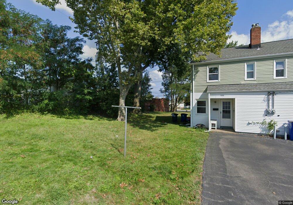
6775 Memphis Ave Brooklyn, OH 44144
Old Brooklyn NeighborhoodEstimated Value: $112,746
--
Bed
--
Bath
1,598
Sq Ft
$71/Sq Ft
Est. Value
About This Home
This home is located at 6775 Memphis Ave, Brooklyn, OH 44144 and is currently estimated at $112,746, approximately $70 per square foot. 6775 Memphis Ave is a home located in Cuyahoga County with nearby schools including Brooklyn Elementary School, Brooklyn High School, and St. Thomas More.
Ownership History
Date
Name
Owned For
Owner Type
Purchase Details
Closed on
Jun 1, 2022
Sold by
Amir Mohammad H
Bought by
Iwais Wesam
Current Estimated Value
Purchase Details
Closed on
Jun 22, 2018
Sold by
Abderrazzaq Shadia M and Abderrazzaq Shadia Saad
Bought by
Amir Mohammad H and Amir Basma M
Purchase Details
Closed on
Oct 16, 2004
Sold by
Amir Mohammad H and Amir Basma M
Bought by
Abderrazzaq Shadia M
Purchase Details
Closed on
Mar 16, 1992
Sold by
Fanous Mike H
Bought by
Amir Mohammad H
Purchase Details
Closed on
Dec 6, 1977
Sold by
Metwshiah Magi A
Bought by
Fanous Mike H
Purchase Details
Closed on
Jan 1, 1975
Bought by
Metwshiah Magi A
Create a Home Valuation Report for This Property
The Home Valuation Report is an in-depth analysis detailing your home's value as well as a comparison with similar homes in the area
Home Values in the Area
Average Home Value in this Area
Purchase History
| Date | Buyer | Sale Price | Title Company |
|---|---|---|---|
| Iwais Wesam | $96,000 | Smialek Law Llc | |
| Amir Mohammad H | -- | None Available | |
| Abderrazzaq Shadia M | -- | Attorney | |
| Amir Mohammad H | $67,500 | -- | |
| Fanous Mike H | $38,000 | -- | |
| Metwshiah Magi A | -- | -- |
Source: Public Records
Tax History Compared to Growth
Tax History
| Year | Tax Paid | Tax Assessment Tax Assessment Total Assessment is a certain percentage of the fair market value that is determined by local assessors to be the total taxable value of land and additions on the property. | Land | Improvement |
|---|---|---|---|---|
| 2024 | $2,877 | $32,375 | $5,950 | $26,425 |
| 2023 | $2,584 | $29,470 | $5,950 | $23,520 |
| 2022 | $2,572 | $29,470 | $5,950 | $23,520 |
| 2021 | $2,634 | $29,470 | $5,950 | $23,520 |
| 2020 | $2,701 | $29,470 | $5,950 | $23,520 |
| 2019 | $2,645 | $84,200 | $17,000 | $67,200 |
| 2018 | $2,436 | $29,470 | $5,950 | $23,520 |
| 2017 | $2,127 | $24,750 | $10,470 | $14,280 |
| 2016 | $2,135 | $24,750 | $10,470 | $14,280 |
| 2015 | $2,372 | $24,750 | $10,470 | $14,280 |
| 2014 | $2,372 | $28,110 | $11,900 | $16,210 |
Source: Public Records
Map
Nearby Homes
- 6706 Woodhaven Ave
- 7010 Woodhaven Ave
- 7101 Brookside Dr
- 7420 Outlook Ave
- 7108 Brookside Dr
- 4402 W 60th St
- 4248 W 58th St
- 6408 Dellbank Dr
- 4267 W 58th St
- 7506 Brookside Dr
- 4215 W 58th St
- 6018 Brookside Dr
- 4247 Brookway Ln
- 4456 Fulton Rd
- 4373 W 52nd St
- 4444 W 53rd St
- 4464 W 53rd St
- 4451 Roadoan Rd
- 4503 Fulton Rd
- 4140 W 49th St
- 6779 Memphis Ave
- 4305 Newberry Dr
- 4309 Newberry Dr
- 6702 Memphis Ave
- 6608 Memphis Ave
- 4306 Newberry Dr
- 6706 Memphis Ave
- 6604 Memphis Ave
- 6710 Memphis Ave
- 6813 Memphis Ave
- 6817 Memphis Ave Unit 1
- 6600 Memphis Ave
- 4319 Newberry Dr
- 4319 Newberry Dr Unit DOWN
- 4319 Newberry Dr Unit UP
- 4310 Newberry Dr
- 6802 Memphis Ave
- 6508 Memphis Ave
- 6806 Memphis Ave
- 4314 Newberry Dr