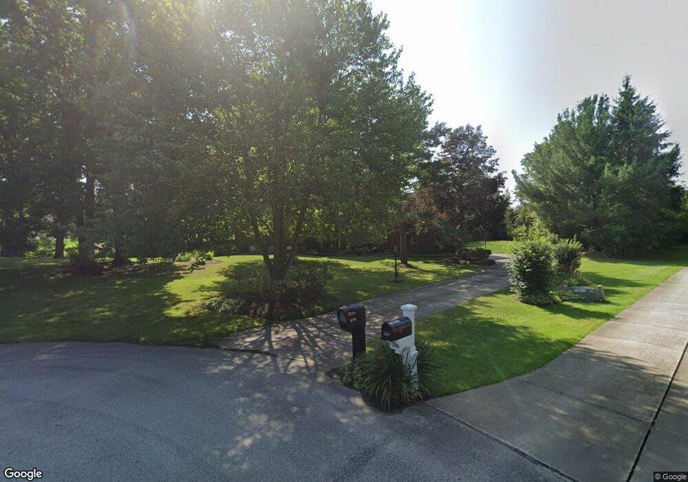
6775 Saint Ives Blvd Hudson, OH 44236
Estimated Value: $638,000 - $718,000
4
Beds
3
Baths
3,184
Sq Ft
$214/Sq Ft
Est. Value
About This Home
This home is located at 6775 Saint Ives Blvd, Hudson, OH 44236 and is currently estimated at $679,802, approximately $213 per square foot. 6775 Saint Ives Blvd is a home located in Summit County with nearby schools including Ellsworth Hill Elementary School, East Woods Intermediate School, and Hudson Middle School.
Ownership History
Date
Name
Owned For
Owner Type
Purchase Details
Closed on
Dec 12, 1996
Sold by
Panichella John E
Bought by
Ta and Min
Current Estimated Value
Home Financials for this Owner
Home Financials are based on the most recent Mortgage that was taken out on this home.
Original Mortgage
$200,000
Outstanding Balance
$16,854
Interest Rate
5.75%
Mortgage Type
New Conventional
Estimated Equity
$662,948
Create a Home Valuation Report for This Property
The Home Valuation Report is an in-depth analysis detailing your home's value as well as a comparison with similar homes in the area
Home Values in the Area
Average Home Value in this Area
Purchase History
| Date | Buyer | Sale Price | Title Company |
|---|---|---|---|
| Ta | $292,000 | -- |
Source: Public Records
Mortgage History
| Date | Status | Borrower | Loan Amount |
|---|---|---|---|
| Open | Ta | $200,000 |
Source: Public Records
Tax History
| Year | Tax Paid | Tax Assessment Tax Assessment Total Assessment is a certain percentage of the fair market value that is determined by local assessors to be the total taxable value of land and additions on the property. | Land | Improvement |
|---|---|---|---|---|
| 2024 | $9,070 | $178,525 | $29,635 | $148,890 |
| 2023 | $9,070 | $178,525 | $29,635 | $148,890 |
| 2022 | $9,150 | $160,826 | $25,113 | $135,713 |
| 2021 | $9,165 | $160,826 | $25,113 | $135,713 |
| 2020 | $9,003 | $160,820 | $25,110 | $135,710 |
| 2019 | $9,345 | $154,590 | $15,270 | $139,320 |
| 2018 | $9,311 | $154,590 | $15,270 | $139,320 |
| 2017 | $8,139 | $154,590 | $15,270 | $139,320 |
| 2016 | $8,198 | $131,270 | $13,890 | $117,380 |
| 2015 | $8,139 | $131,270 | $13,890 | $117,380 |
| 2014 | $8,163 | $131,270 | $13,890 | $117,380 |
| 2013 | $7,456 | $117,030 | $13,890 | $103,140 |
Source: Public Records
Map
Nearby Homes
- 154 State Route 303
- 6598 Meadow Farm Dr
- 2365 Ebury Ln
- 2353 W Hale Dr
- 9085 Sandpiper Dr
- 9215 Hickory Ridge Dr
- 9005 Sandpiper Dr
- 2795 Stonebridge Ct
- 6740 Pinebrooke Dr
- 9011 Wood Thrush Dr
- 338 Simon Rd
- 756 State Route 303
- 2308 Glenn Echo Dr
- 792 State Route 303
- 632 Edmond Ave
- 572 David Dr
- 10252 Wellman Rd Unit 19
- 939 State Route 303
- 213 E Streetsboro St
- 2297 Olde Farm Ln
- 6766 Saint Regis Blvd
- 6791 Saint Ives Blvd
- 6774 Saint Ives Blvd
- 6792 Saint Regis Blvd
- 6758 Saint Regis Blvd
- 6790 Saint Ives Blvd
- 6807 Saint Ives Blvd
- 6808 Saint Regis Blvd
- 6806 Saint Ives Blvd
- 6759 Saint Regis Blvd
- 6742 Saint Regis Blvd
- 6741 Saint Regis Blvd
- 6769 Saint Regis Blvd
- 6789 Saint Regis Blvd
- 6779 Saint Regis Blvd
- 6823 Saint Ives Blvd
- 6799 Saint Regis Blvd
- 2731 Last Valley Ln
- 6822 Saint Ives Blvd
- 6809 Saint Regis Blvd
Your Personal Tour Guide
Ask me questions while you tour the home.