678 Ayres Rd Eagle Point, OR 97524
Estimated Value: $284,769 - $353,000
2
Beds
1
Bath
928
Sq Ft
$347/Sq Ft
Est. Value
About This Home
This home is located at 678 Ayres Rd, Eagle Point, OR 97524 and is currently estimated at $321,590, approximately $346 per square foot. 678 Ayres Rd is a home located in Jackson County with nearby schools including Eagle Point Middle School, White Mountain Middle School, and Eagle Point High School.
Ownership History
Date
Name
Owned For
Owner Type
Purchase Details
Closed on
Mar 18, 2026
Sold by
John Brokowski and Inez Brokowski Lola
Bought by
Brokowski Revocable Trust and Brokowski
Current Estimated Value
Purchase Details
Closed on
Jul 21, 2022
Sold by
Dr Patricia A Kester Revocable Living Tr
Bought by
Brokowski Joseph John and Brokowski Lola Inez
Purchase Details
Closed on
Dec 3, 2014
Sold by
Kester Dr Patricia A
Bought by
Kester Dr Patricia A and Dr Patricia A Kester Revocable Living Tr
Create a Home Valuation Report for This Property
The Home Valuation Report is an in-depth analysis detailing your home's value as well as a comparison with similar homes in the area
Purchase History
| Date | Buyer | Sale Price | Title Company |
|---|---|---|---|
| Brokowski Revocable Trust | -- | None Listed On Document | |
| Brokowski Joseph John | $275,000 | None Listed On Document | |
| Kester Dr Patricia A | -- | None Available |
Source: Public Records
Tax History
| Year | Tax Paid | Tax Assessment Tax Assessment Total Assessment is a certain percentage of the fair market value that is determined by local assessors to be the total taxable value of land and additions on the property. | Land | Improvement |
|---|---|---|---|---|
| 2026 | $2,286 | $196,830 | -- | -- |
| 2025 | $2,225 | $191,100 | $106,600 | $84,500 |
| 2024 | $2,225 | $185,540 | $100,610 | $84,930 |
| 2023 | $2,150 | $180,140 | $97,680 | $82,460 |
| 2022 | $2,094 | $180,140 | $97,680 | $82,460 |
| 2021 | $2,034 | $174,900 | $94,840 | $80,060 |
| 2020 | $2,194 | $169,810 | $92,080 | $77,730 |
| 2019 | $2,167 | $160,070 | $86,800 | $73,270 |
| 2018 | $2,119 | $155,410 | $84,270 | $71,140 |
| 2017 | $2,069 | $155,410 | $84,270 | $71,140 |
| 2016 | $2,016 | $146,500 | $79,430 | $67,070 |
| 2015 | $1,948 | $146,500 | $79,430 | $67,070 |
| 2014 | $1,893 | $138,100 | $74,870 | $63,230 |
Source: Public Records
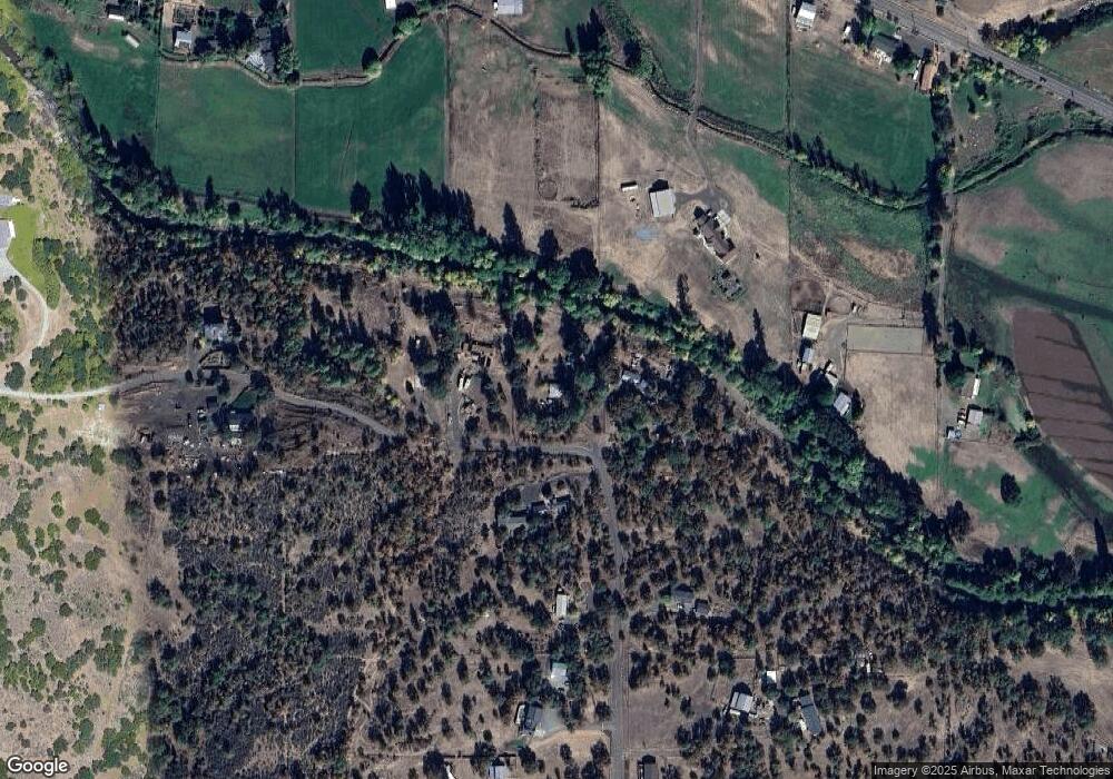
Map
Nearby Homes
- 1918 Stevens Rd
- 1050 Azure Way
- 21 Cerulean Terrace
- 1151 Arrowhead Trail
- 460 Montclair Way
- 277 Cambridge Terrace
- 218 Cambridge Terrace
- 633 E Archwood Dr Unit 89
- 633 E Archwood Dr Unit 86
- 633 E Archwood Dr Unit 44
- 633 E Archwood Dr Unit 12
- 633 E Archwood Dr Unit 70
- 633 E Archwood Dr Unit 53
- 633 E Archwood Dr Unit 130
- 633 E Archwood Dr Unit 125
- 633 E Archwood Dr Unit 59
- 633 E Archwood Dr Unit 43
- 0 Riley Rd Unit 220209029
- 1153 Pumpkin Unit 322
- 1297 Stonegate Dr Unit 473
- 690 Ayres Rd
- 585 Ayres Rd
- 750 Ayres Rd
- 2526 Brownsboro Hwy
- 2654 Brownsboro Hwy
- 2654 Brownsboro Hwy
- 463 Ayres Rd
- 790 Ayres St
- 790 Ayres Rd
- 450 Ayres Rd
- 421 Ayres Rd
- 2650 Brownsboro Hwy
- 444 Ayres Rd
- 2300 Brownsboro Hwy
- 2404 Brownsboro Hwy
- 0 Ayres Rd
- 900 Ayres Rd
- 417 Ayres Rd
- 178 E Main Street 178 & 10
- 2230 Brownsboro Hwy
Your Personal Tour Guide
Ask me questions while you tour the home.