678 Crystal Beach Rd Point Roberts, WA 98281
Estimated Value: $393,000 - $429,000
3
Beds
1
Bath
864
Sq Ft
$469/Sq Ft
Est. Value
About This Home
This home is located at 678 Crystal Beach Rd, Point Roberts, WA 98281 and is currently estimated at $404,880, approximately $468 per square foot. 678 Crystal Beach Rd is a home located in Whatcom County with nearby schools including Point Roberts Primary School, Blaine Middle School, and Blaine High School.
Ownership History
Date
Name
Owned For
Owner Type
Purchase Details
Closed on
Sep 18, 2008
Sold by
Winterton Barbara Ellen
Bought by
Moore Andrew and Moore Jonathan
Current Estimated Value
Purchase Details
Closed on
Mar 1, 2007
Sold by
Winterton Barbara Ellen
Bought by
Moore Andrew and Moore Jonathan
Purchase Details
Closed on
Dec 22, 2006
Sold by
Winterton Barbara Ellen
Bought by
Moore Andrew and Moore Jonathan
Purchase Details
Closed on
Jan 11, 1999
Sold by
Winterton Donald L and Winterton Margaret A
Bought by
Winterton Barbara Ellen
Create a Home Valuation Report for This Property
The Home Valuation Report is an in-depth analysis detailing your home's value as well as a comparison with similar homes in the area
Home Values in the Area
Average Home Value in this Area
Purchase History
| Date | Buyer | Sale Price | Title Company |
|---|---|---|---|
| Moore Andrew | -- | None Available | |
| Moore Andrew | -- | None Available | |
| Moore Andrew | -- | None Available | |
| Winterton Barbara Ellen | -- | -- |
Source: Public Records
Tax History Compared to Growth
Tax History
| Year | Tax Paid | Tax Assessment Tax Assessment Total Assessment is a certain percentage of the fair market value that is determined by local assessors to be the total taxable value of land and additions on the property. | Land | Improvement |
|---|---|---|---|---|
| 2024 | $3,135 | $404,601 | $251,741 | $152,860 |
| 2023 | $3,135 | $381,715 | $228,855 | $152,860 |
| 2022 | $2,812 | $348,598 | $209,000 | $139,598 |
| 2021 | $2,801 | $282,564 | $147,136 | $135,428 |
| 2020 | $2,788 | $261,629 | $136,235 | $125,394 |
| 2019 | $2,584 | $250,961 | $130,680 | $120,281 |
| 2018 | $2,481 | $225,612 | $117,480 | $108,132 |
| 2017 | $2,151 | $215,472 | $112,200 | $103,272 |
| 2016 | $2,058 | $211,247 | $110,000 | $101,247 |
| 2015 | $2,189 | $196,425 | $96,610 | $99,815 |
| 2014 | -- | $205,347 | $101,000 | $104,347 |
| 2013 | -- | $196,576 | $97,000 | $99,576 |
Source: Public Records
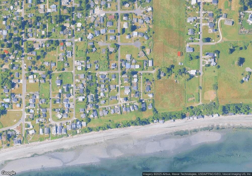
Map
Nearby Homes
- 675 Sylvia Dr
- 1934 Waters Rd
- 698 Kendor Dr
- 661 Driftwood Ln
- 634 S Beach Rd
- 1911 Apa Rd
- 1881 Edwards Dr
- 2045 Apa Rd
- 1940 Apa Rd
- 1920 Patos Way
- 1927 Orcas View Way
- 2250 Seabright Loop
- 2246 Seabright Loop
- 1976 Cedar Park Dr
- 2149 Seabright Loop
- 2242 Seabright Loop
- 2128 Seabright Loop
- 2202 Seabright Loop
- 58 Seabright Loop
- lot 14 Cedar Park Dr Unit 14
- 680 Crystal Beach Rd
- 674 Crystal Beach Rd
- 677 Sylvia Dr
- 1992 Holiday Ln
- 670 Crystal Beach Rd
- 673 Sylvia Dr
- 675 Crystal Beach Rd
- 1994 Holiday Ln
- 671 Sylvia Dr
- 1967 Waters Rd
- 686 Crystal Dr
- 683 Crystal Beach Rd
- 1985 Holiday Ln
- 1989 Holiday Ln
- 1981 Holiday Ln
- 1993 Holiday Ln
- 1974 Waters Rd
- 676 Roberts Dr
- 1978 Waters Rd
- 678 Roberts Dr