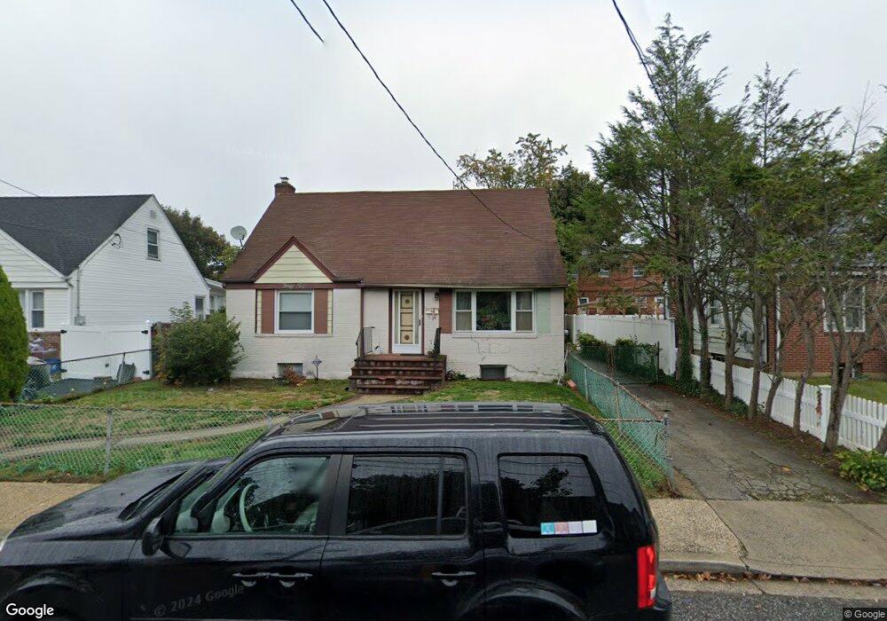
678 Front St Hempstead, NY 11550
Estimated Value: $465,170 - $486,000
2
Beds
3
Baths
1,520
Sq Ft
$313/Sq Ft
Est. Value
About This Home
This home is located at 678 Front St, Hempstead, NY 11550 and is currently estimated at $475,585, approximately $312 per square foot. 678 Front St is a home located in Nassau County with nearby schools including California Avenue Elementary School, Lawrence Road Middle School, and Uniondale High School.
Ownership History
Date
Name
Owned For
Owner Type
Purchase Details
Closed on
Sep 4, 2018
Sold by
Deutsche Bank National Trust Co
Bought by
Kernochan Avenue Properties Llc
Current Estimated Value
Purchase Details
Closed on
Feb 1, 2017
Sold by
Referee Of Nassau County
Bought by
Board Of Managers Of Frontstead Towne Ho
Purchase Details
Closed on
Dec 18, 1997
Sold by
Executrix Berryhill Monique Re
Bought by
White Dorothy M
Create a Home Valuation Report for This Property
The Home Valuation Report is an in-depth analysis detailing your home's value as well as a comparison with similar homes in the area
Home Values in the Area
Average Home Value in this Area
Purchase History
| Date | Buyer | Sale Price | Title Company |
|---|---|---|---|
| Kernochan Avenue Properties Llc | $152,500 | Fidelity National Title | |
| Board Of Managers Of Frontstead Towne Ho | $100 | None Available | |
| White Dorothy M | $123,000 | -- |
Source: Public Records
Mortgage History
| Date | Status | Borrower | Loan Amount |
|---|---|---|---|
| Closed | Board Of Managers Of Frontstead Towne Ho | $0 |
Source: Public Records
Tax History
| Year | Tax Paid | Tax Assessment Tax Assessment Total Assessment is a certain percentage of the fair market value that is determined by local assessors to be the total taxable value of land and additions on the property. | Land | Improvement |
|---|---|---|---|---|
| 2025 | $4,316 | $248 | -- | $248 |
| 2024 | $648 | $248 | $0 | $248 |
Source: Public Records
Map
Nearby Homes
- 678 Front St Unit E
- 676 Front St Unit F
- 27 Elizabeth Ct
- 41 Perry St
- 59 Kernochan Ave
- 63 Devon Rd
- 28 Cornwall Ln
- 132 Duncan Rd
- 51 Phoenix St
- 119 Broadfield Rd
- 21 Dikeman St
- 14 Roger St
- 17 Hope St
- 183 Perry St
- 22 Fairview Blvd
- 122 Hamilton Rd
- 363 Clarendon Rd
- 66 Warner Ave
- 355 Jerusalem Ave
- 399 Hawthorne Ave
- 678 Front St Unit A
- 678 Front St Unit B
- 678 Front St Unit C
- 678 Front St Unit D
- 678 Front St
- 678 Front St Unit F
- 678 Front St Unit H
- 678 Front St Unit C
- 42 Clemente Place
- 36 Clemente Place
- 682 Front St Unit F
- 682 Front St
- 682 Front St
- 682 Front St Unit C
- 682 Front St Unit B
- 682 Front St Unit A
- 682 Front St Unit 27
- 32 Clemente Place
- 48 Clemente Place
- 680 Front St Unit A
Your Personal Tour Guide
Ask me questions while you tour the home.