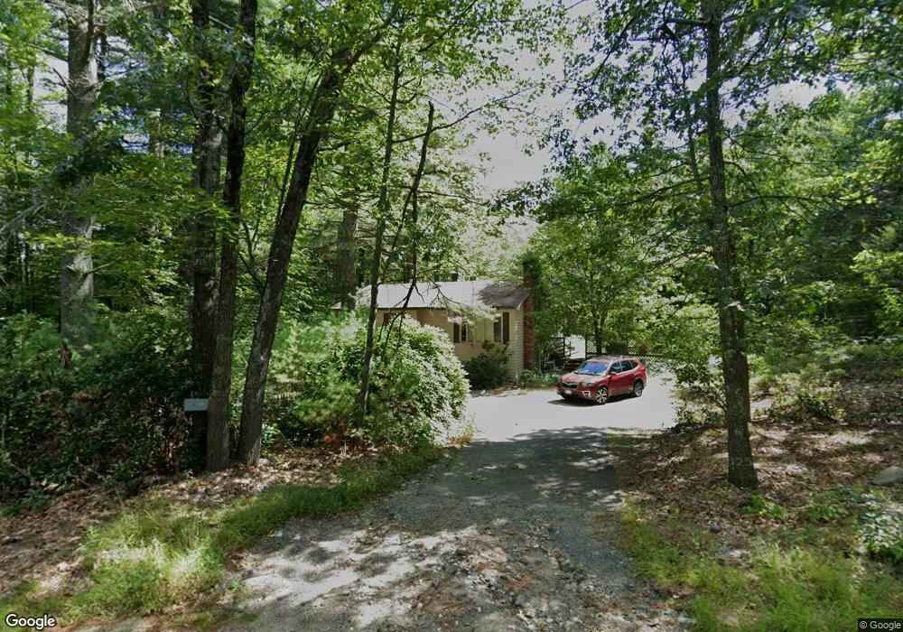
678 Groton St Dunstable, MA 01827
Estimated Value: $482,948 - $592,000
3
Beds
1
Bath
1,176
Sq Ft
$472/Sq Ft
Est. Value
About This Home
This home is located at 678 Groton St, Dunstable, MA 01827 and is currently estimated at $554,987, approximately $471 per square foot. 678 Groton St is a home located in Middlesex County with nearby schools including Groton Dunstable Regional High School and Seven Hills At Groton.
Create a Home Valuation Report for This Property
The Home Valuation Report is an in-depth analysis detailing your home's value as well as a comparison with similar homes in the area
Home Values in the Area
Average Home Value in this Area
Tax History Compared to Growth
Tax History
| Year | Tax Paid | Tax Assessment Tax Assessment Total Assessment is a certain percentage of the fair market value that is determined by local assessors to be the total taxable value of land and additions on the property. | Land | Improvement |
|---|---|---|---|---|
| 2025 | $5,356 | $389,500 | $227,800 | $161,700 |
| 2024 | $5,112 | $366,200 | $208,000 | $158,200 |
| 2023 | $5,138 | $343,200 | $208,000 | $135,200 |
| 2022 | $4,947 | $324,400 | $208,000 | $116,400 |
| 2021 | $4,868 | $289,700 | $189,900 | $99,800 |
| 2020 | $7,332 | $284,400 | $189,900 | $94,500 |
| 2019 | $5,780 | $280,200 | $189,900 | $90,300 |
| 2018 | $4,794 | $273,300 | $188,200 | $85,100 |
| 2017 | $4,635 | $272,300 | $188,200 | $84,100 |
| 2016 | $4,389 | $265,200 | $180,000 | $85,200 |
| 2015 | $3,992 | $238,600 | $152,300 | $86,300 |
| 2014 | $3,763 | $238,600 | $152,300 | $86,300 |
Source: Public Records
Map
Nearby Homes
- 8 Jamie Rd
- 208 North St
- 91 Chicopee Row
- 660 Old Dunstable Rd
- 2 Wildflower Ln
- 0 Old Dunstable Rd
- 153 Off Pond St
- 573 Longley Rd
- 46 Lowell Rd
- 452 River St
- 5 June St
- 319 Pleasant St
- 23 Shawnee Rd Unit 23
- 38 Tarbell St Unit 5B
- 20 B Legacy Ln
- 20 A Legacy Ln Unit 20A
- 9 Tarbell St
- 31 Prospect St
- 28-30 Groton St
- 38 River Rd Unit 11