678 Mullen Rd Cedartown, GA 30125
Estimated Value: $441,000 - $771,578
4
Beds
2
Baths
2,288
Sq Ft
$265/Sq Ft
Est. Value
About This Home
This home is located at 678 Mullen Rd, Cedartown, GA 30125 and is currently estimated at $606,289, approximately $264 per square foot. 678 Mullen Rd is a home located in Polk County.
Ownership History
Date
Name
Owned For
Owner Type
Purchase Details
Closed on
Sep 8, 2025
Sold by
Morris Ralph N
Bought by
Vaughn Anna Marie
Current Estimated Value
Purchase Details
Closed on
Dec 16, 2014
Sold by
Morris Ralph N
Bought by
Morris Jesse Ralph
Purchase Details
Closed on
Apr 20, 1965
Sold by
Sanders Gaines Etal
Bought by
Morris Ralph N
Purchase Details
Closed on
Sep 23, 1963
Sold by
Sanders Gaines
Bought by
Sanders Gaines Etal
Purchase Details
Closed on
Dec 30, 1949
Bought by
Sanders Gaines
Create a Home Valuation Report for This Property
The Home Valuation Report is an in-depth analysis detailing your home's value as well as a comparison with similar homes in the area
Home Values in the Area
Average Home Value in this Area
Purchase History
| Date | Buyer | Sale Price | Title Company |
|---|---|---|---|
| Vaughn Anna Marie | -- | -- | |
| Morris Jesse Ralph | -- | -- | |
| Vaughan Anna Marie | -- | -- | |
| Morris Ralph N | -- | -- | |
| Sanders Gaines Etal | -- | -- | |
| Sanders Gaines | -- | -- |
Source: Public Records
Tax History Compared to Growth
Tax History
| Year | Tax Paid | Tax Assessment Tax Assessment Total Assessment is a certain percentage of the fair market value that is determined by local assessors to be the total taxable value of land and additions on the property. | Land | Improvement |
|---|---|---|---|---|
| 2024 | $2,789 | $263,450 | $151,493 | $111,957 |
| 2023 | $2,464 | $233,816 | $151,493 | $82,323 |
| 2022 | $2,253 | $206,898 | $131,967 | $74,931 |
| 2021 | $2,252 | $206,898 | $131,967 | $74,931 |
| 2020 | $2,228 | $206,898 | $131,967 | $74,931 |
| 2019 | $2,367 | $210,087 | $131,967 | $78,120 |
| 2018 | $2,380 | $209,437 | $131,102 | $78,335 |
| 2017 | $2,857 | $233,591 | $155,256 | $78,335 |
| 2016 | $2,845 | $160,802 | $82,468 | $78,335 |
| 2015 | $2,986 | $167,357 | $82,468 | $84,889 |
| 2014 | $2,282 | $149,455 | $94,695 | $54,760 |
Source: Public Records
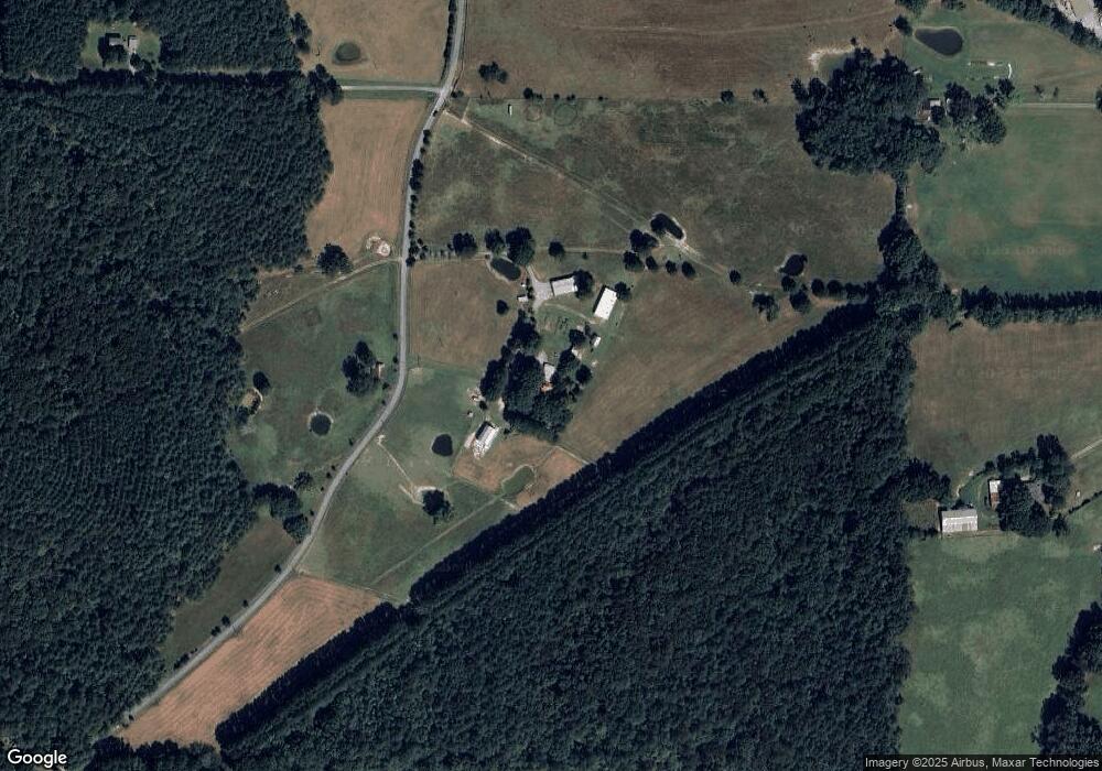
Map
Nearby Homes
- 0 Runyon Loop Unit 10606366
- 0 Runyon Loop Unit 7650113
- 176 Runyon Loop
- 600 Grady Rd
- 247 Grady Rd
- 470 Knight Rd
- 394 Knight Rd
- 3323 Rockmart Hwy
- 0 Everett Mtn Rd
- 160 Tate Rd
- 94 Wimberly Hill Loop
- 1838 Antioch Rd
- 728 Hutto Rd
- 200 Kelly Rd
- 0 Coaling Rd Unit 9221-D 10352096
- 0 Coaling Rd Unit 9221-C 10352086
- 0 Coaling Rd Unit 9221 10352063
- 0 Coaling Rd Unit 9221-B 10352079
- 0 Hightower Rd Unit 10584768
- 0 Hightower Rd Unit 7633002
- 1352 Grady Rd
- 1250 Grady Rd
- 827 Mullen Rd
- 827 Mullen Rd
- 1031 Campbell Rd
- 1021 Campbell Rd
- 0 Mullen Rd Unit 8355083
- 1051 Campbell Rd
- 480 Mullen Rd
- 1112 Grady Rd
- 1630 Coaling Rd
- 1669 Coaling Rd
- 477 Mullen Rd
- 1196 Grady Rd
- 1065 Campbell Rd
- 843 Mullen Rd
- 444 Mullen Rd
- 1122 Coaling Rd
- 1020 Campbell Rd
- 0 Grady Rd Unit 8540322