678 Rogers Landing Loop Scranton, AR 72863
Estimated Value: $67,749 - $314,000
Studio
1
Bath
800
Sq Ft
$224/Sq Ft
Est. Value
About This Home
This home is located at 678 Rogers Landing Loop, Scranton, AR 72863 and is currently estimated at $179,437, approximately $224 per square foot. 678 Rogers Landing Loop is a home located in Logan County with nearby schools including Scranton Elementary School and Scranton High School.
Ownership History
Date
Name
Owned For
Owner Type
Purchase Details
Closed on
Jun 1, 2015
Bought by
Carter Kristy Dawn and Graves Brooke
Current Estimated Value
Purchase Details
Closed on
Apr 14, 2008
Sold by
Wells John Paul and Wells Robert Paul
Bought by
Ruby Bypass William D
Purchase Details
Closed on
Feb 6, 2008
Bought by
Ruby William D Bypass Tr
Create a Home Valuation Report for This Property
The Home Valuation Report is an in-depth analysis detailing your home's value as well as a comparison with similar homes in the area
Purchase History
| Date | Buyer | Sale Price | Title Company |
|---|---|---|---|
| Carter Kristy Dawn | -- | -- | |
| Ruby Bypass William D | -- | -- | |
| Ruby William D Bypass Tr | $35,000 | -- |
Source: Public Records
Tax History
| Year | Tax Paid | Tax Assessment Tax Assessment Total Assessment is a certain percentage of the fair market value that is determined by local assessors to be the total taxable value of land and additions on the property. | Land | Improvement |
|---|---|---|---|---|
| 2025 | $582 | $12,686 | $924 | $11,762 |
| 2024 | $300 | $8,650 | $660 | $7,990 |
| 2023 | $397 | $8,650 | $660 | $7,990 |
| 2022 | $397 | $8,650 | $660 | $7,990 |
| 2021 | $370 | $8,650 | $660 | $7,990 |
| 2020 | $339 | $8,650 | $660 | $7,990 |
| 2019 | $339 | $6,710 | $530 | $6,180 |
| 2018 | $308 | $6,710 | $530 | $6,180 |
| 2017 | $308 | $6,710 | $530 | $6,180 |
| 2016 | $308 | $6,710 | $530 | $6,180 |
| 2015 | -- | $7,200 | $1,230 | $5,970 |
| 2014 | -- | $7,200 | $1,230 | $5,970 |
| 2013 | -- | $7,200 | $1,230 | $5,970 |
Source: Public Records
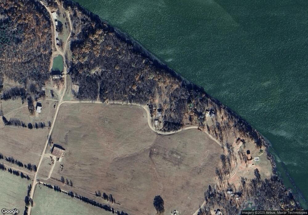
Map
Nearby Homes
- 0 County Road 2510 Unit 1335268
- 0 County Road 2510 Unit 26004955
- 1559 County Road 2510
- 279 Eagle Cove Rd
- 1009 County Road 2530
- 544 Painter Ln
- 544 Painters Ln
- 650 Painter Ln
- 5 Tiffany Ln
- 00 Tallon Dr
- 1189 Jenkins Ferry Rd
- 924 E Quarry St
- 7 & 8
- 611 Elberta St
- 0000 Dublin Rd
- 000 Dublin Rd
- 975 Jenkins Ferry Rd
- 776 E Quarry St
- 500 Duff Rd
- 1315 S Crawford St
- 668 Rogers Landing Loop
- 000 Rogers Landing Loop
- 632 Rogers Landing Loop
- 624 Rogers Landing Rd
- 571 Rogers Landing Rd
- 422 Rogers Landing Loop
- 0 Rogers Landing Dublin Unit 1047758
- 650 Rogers Landing Rd
- 376 Rogers Landing Loop
- 520 Rogers Landing Loop
- 8920 Dublin Rd
- 8833 Dublin Rd
- 8045 Dublin Rd
- 8059 Dublin Rd
- 8227 Dublin Rd
- 8712 Dublin Rd
- 8616 Dublin Rd
- 8560 Dublin Rd
- 7411 Dublin Rd
- 7411 Dublin Rd
Your Personal Tour Guide
Ask me questions while you tour the home.