678 Sylvia Dr Point Roberts, WA 98281
Estimated Value: $538,000 - $700,000
2
Beds
1
Bath
1,156
Sq Ft
$516/Sq Ft
Est. Value
About This Home
This home is located at 678 Sylvia Dr, Point Roberts, WA 98281 and is currently estimated at $595,979, approximately $515 per square foot. 678 Sylvia Dr is a home located in Whatcom County with nearby schools including Point Roberts Primary School, Blaine Middle School, and Blaine High School.
Ownership History
Date
Name
Owned For
Owner Type
Purchase Details
Closed on
Sep 30, 2013
Sold by
Bordignon Giovanni and Bordignon Jane
Bought by
Pratt Jim and Pratt Faye
Current Estimated Value
Purchase Details
Closed on
Nov 7, 2007
Sold by
Hoban Glen and Hoban Kathy
Bought by
Bordignon Giovanni and Bordignon Jane
Purchase Details
Closed on
Apr 12, 2004
Sold by
Katt Deirdre
Bought by
Hoban Glen and Hoban Kathy
Create a Home Valuation Report for This Property
The Home Valuation Report is an in-depth analysis detailing your home's value as well as a comparison with similar homes in the area
Home Values in the Area
Average Home Value in this Area
Purchase History
| Date | Buyer | Sale Price | Title Company |
|---|---|---|---|
| Pratt Jim | $374,280 | Chicago Title Insurance | |
| Bordignon Giovanni | $350,280 | Chicago Title Insurance | |
| Hoban Glen | $179,000 | Stewart Title Company |
Source: Public Records
Tax History
| Year | Tax Paid | Tax Assessment Tax Assessment Total Assessment is a certain percentage of the fair market value that is determined by local assessors to be the total taxable value of land and additions on the property. | Land | Improvement |
|---|---|---|---|---|
| 2025 | $4,448 | $556,388 | $316,290 | $240,098 |
| 2024 | $4,205 | $550,880 | $313,170 | $237,710 |
| 2023 | $4,205 | $522,410 | $284,700 | $237,710 |
| 2022 | $4,002 | $477,087 | $260,000 | $217,087 |
| 2021 | $3,986 | $412,453 | $220,704 | $191,749 |
| 2020 | $3,963 | $381,896 | $204,353 | $177,543 |
| 2019 | $3,666 | $366,323 | $196,020 | $170,303 |
| 2018 | $3,613 | $329,321 | $176,220 | $153,101 |
| 2017 | $3,131 | $314,520 | $168,300 | $146,220 |
| 2016 | $3,084 | $308,353 | $165,000 | $143,353 |
| 2015 | $3,281 | $295,247 | $161,822 | $133,425 |
| 2014 | -- | $308,659 | $169,175 | $139,484 |
| 2013 | -- | $295,581 | $162,475 | $133,106 |
Source: Public Records
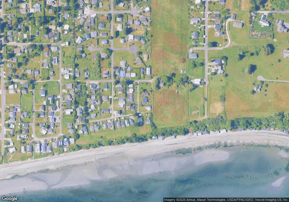
Map
Nearby Homes
- 661 Driftwood Ln
- 2045 Apa Rd
- 1940 Apa Rd
- 1881 Edwards Dr
- 2242 Seabright Loop
- 1920 Patos Way
- 2202 Seabright Loop
- 58 Seabright Loop
- 0 Deer Rd
- 6 Weasel Run Rd
- 2138 Benson Rd
- 1648 Harbor Seal Dr
- 1774 Centennial Place
- 1630 Edwards Dr
- 1587 Harbor Seal Dr
- 1 Mill Rd
- 2 Mill Rd
- 1871 Johnson Rd
- 251 Elizabeth Dr
- 245 Shady Glen Ave
- 674 Sylvia Dr
- 686 Sylvia Dr
- 1994 Holiday Ln
- 675 Sylvia Dr
- 673 Sylvia Dr
- 1997 Holiday Ln
- 677 Sylvia Dr
- 1992 Holiday Ln
- 671 Sylvia Dr
- 1999 Holiday Ln
- 1996 Waters Rd
- 1993 Holiday Ln
- 678 Crystal Beach Rd
- 680 Crystal Beach Rd
- 1992 Waters Rd
- 1989 Holiday Ln
- 674 Crystal Beach Rd
- 670 Crystal Beach Rd
- 1988 Waters Rd
- 1985 Holiday Ln
Your Personal Tour Guide
Ask me questions while you tour the home.