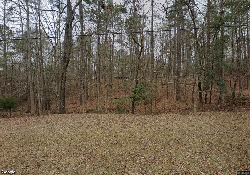
678 Weldon Rd Forsyth, GA 31029
Estimated Value: $92,355 - $202,000
2
Beds
1
Bath
948
Sq Ft
$148/Sq Ft
Est. Value
About This Home
This home is located at 678 Weldon Rd, Forsyth, GA 31029 and is currently estimated at $140,452, approximately $148 per square foot. 678 Weldon Rd is a home located in Monroe County with nearby schools including Katherine B. Sutton Elementary School and Mary Persons High School.
Ownership History
Date
Name
Owned For
Owner Type
Purchase Details
Closed on
Jul 13, 2012
Sold by
Neal Ronnie W
Bought by
Gainey Ivoney A
Current Estimated Value
Home Financials for this Owner
Home Financials are based on the most recent Mortgage that was taken out on this home.
Original Mortgage
$50,000
Interest Rate
3.72%
Mortgage Type
New Conventional
Purchase Details
Closed on
May 18, 1984
Sold by
Middle Georgia Woodlands Inc
Bought by
Neal Ronnie
Create a Home Valuation Report for This Property
The Home Valuation Report is an in-depth analysis detailing your home's value as well as a comparison with similar homes in the area
Home Values in the Area
Average Home Value in this Area
Purchase History
| Date | Buyer | Sale Price | Title Company |
|---|---|---|---|
| Gainey Ivoney A | $50,000 | -- | |
| Neal Ronnie | $8,700 | -- |
Source: Public Records
Mortgage History
| Date | Status | Borrower | Loan Amount |
|---|---|---|---|
| Closed | Gainey Ivoney A | $50,000 |
Source: Public Records
Tax History
| Year | Tax Paid | Tax Assessment Tax Assessment Total Assessment is a certain percentage of the fair market value that is determined by local assessors to be the total taxable value of land and additions on the property. | Land | Improvement |
|---|---|---|---|---|
| 2025 | $297 | $22,564 | $14,280 | $8,284 |
| 2024 | $297 | $22,564 | $14,280 | $8,284 |
| 2023 | $285 | $21,244 | $14,280 | $6,964 |
| 2022 | $250 | $21,244 | $14,280 | $6,964 |
| 2021 | $259 | $21,244 | $14,280 | $6,964 |
| 2020 | $183 | $18,364 | $11,400 | $6,964 |
| 2019 | $184 | $18,364 | $11,400 | $6,964 |
| 2018 | $185 | $18,364 | $11,400 | $6,964 |
| 2017 | $534 | $18,364 | $11,400 | $6,964 |
| 2016 | $176 | $18,364 | $11,400 | $6,964 |
| 2015 | $243 | $21,244 | $14,280 | $6,964 |
| 2014 | $235 | $21,244 | $14,280 | $6,964 |
Source: Public Records
Map
Nearby Homes
- 412 Towaliga Trail
- 739 Westbrooks Rd
- 2489 Boxankle Rd
- 353 Weldon Rd
- 2760 Boxankle Rd
- 114 Tee Dr
- 303 Tuxedo Cir
- 49 Stokes Store Rd
- 130 Heights Ave
- 120 Heights Ave
- 205 Chastain Dr
- 207 Forest Pointe Dr
- 607 Forest Pointe Dr
- LOT 48 Stokes Store Rd
- 415 Forest Pointe Dr
- 103 Ranch Cir
- 103 Ranch Ct
- 104 Piedmont Cir
- 100 Ridge Way
- 217 Crescent Dr
- 31 Towaliga Rd
- 693 Weldon Rd
- 138 Towaliga Rd
- 607 Weldon Rd
- 10 Towaliga Rd
- 135 Towaliga Rd Unit 23ABC
- 135 Towaliga Rd
- Lot 11 Towaliga Rd
- Lot 12 Towaliga Rd
- 0 Towaliga Rd Unit 285840
- 0 Towaliga Rd Unit M159661
- 0 Towaliga Rd Unit 8952094
- 0 Towaliga Rd Unit Lot 13 8892682
- 0 Towaliga Rd Unit Lot 12 8892681
- 0 Towaliga Rd Unit Lot 11 8892680
- 741 Weldon Rd
- 687 Weldon Rd
- 768 Weldon Rd
- 120 Towaliga Rd
- 757 Weldon Rd
