6780 Carter Rd Ardmore, OK 73401
Estimated Value: $344,000 - $556,000
3
Beds
2
Baths
2,940
Sq Ft
$151/Sq Ft
Est. Value
About This Home
This home is located at 6780 Carter Rd, Ardmore, OK 73401 and is currently estimated at $444,184, approximately $151 per square foot. 6780 Carter Rd is a home with nearby schools including Plainview Primary School, Plainview Intermediate School, and Plainview Middle School.
Ownership History
Date
Name
Owned For
Owner Type
Purchase Details
Closed on
Oct 24, 2024
Sold by
Mitchell Rita Jo and Henley Kenny
Bought by
Potter Ashley D and Potter Steven H
Current Estimated Value
Purchase Details
Closed on
Nov 21, 2016
Sold by
Cunningham Mark and Cunningham Mary
Bought by
Rose Jeremy and Rose Leslie
Home Financials for this Owner
Home Financials are based on the most recent Mortgage that was taken out on this home.
Original Mortgage
$112,800
Interest Rate
3.47%
Mortgage Type
Construction
Create a Home Valuation Report for This Property
The Home Valuation Report is an in-depth analysis detailing your home's value as well as a comparison with similar homes in the area
Home Values in the Area
Average Home Value in this Area
Purchase History
| Date | Buyer | Sale Price | Title Company |
|---|---|---|---|
| Potter Ashley D | $115,000 | Arbuckle Closing & Escrow | |
| Potter Ashley D | $115,000 | Arbuckle Closing & Escrow | |
| Rose Jeremy | $54,500 | Stewart Abstract & Title |
Source: Public Records
Mortgage History
| Date | Status | Borrower | Loan Amount |
|---|---|---|---|
| Previous Owner | Rose Jeremy | $112,800 |
Source: Public Records
Tax History Compared to Growth
Tax History
| Year | Tax Paid | Tax Assessment Tax Assessment Total Assessment is a certain percentage of the fair market value that is determined by local assessors to be the total taxable value of land and additions on the property. | Land | Improvement |
|---|---|---|---|---|
| 2025 | $3,695 | $42,440 | $6,540 | $35,900 |
| 2024 | $3,695 | $40,419 | $6,540 | $33,879 |
| 2023 | $3,519 | $38,495 | $6,540 | $31,955 |
| 2022 | $3,309 | $36,662 | $6,540 | $30,122 |
| 2021 | $3,189 | $34,294 | $6,540 | $27,754 |
| 2020 | $3,223 | $34,294 | $6,540 | $27,754 |
| 2019 | $599 | $6,540 | $6,540 | $0 |
| 2018 | $594 | $6,540 | $6,540 | $0 |
| 2017 | $597 | $6,540 | $6,540 | $0 |
| 2016 | $178 | $1,956 | $1,956 | $0 |
| 2015 | $182 | $1,956 | $1,956 | $0 |
| 2014 | $182 | $1,956 | $1,956 | $0 |
Source: Public Records
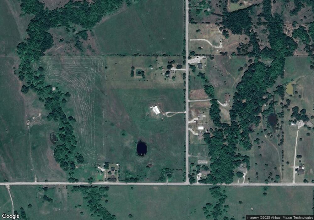
Map
Nearby Homes
- 002 Cisco Rd
- 820 Cisco
- 0 State Highway 77
- 3 Scott Rd
- 4 Scott Rd
- 37 Peddy St
- 291 Golden Dr
- 780 Rickets Ln
- 1777 Bussel Rd & Hedges Rd
- 1018 Rocky Acres Rd
- 284 Songbird Trail
- 3502 Carter St SE
- 103 Lockwood Ln
- 400 Scenic Cir
- 2857 Bussell Ridge Rd
- 3125 S Commerce St
- 0 Fm171 Unit 11611651
- 11868 Campbell Rd
- 11872 Campbell Rd
- 11870 Campbell Rd