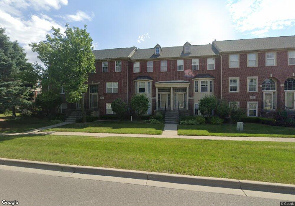
6780 Central City Pkwy Unit 25 Westland, MI 48185
Estimated Value: $222,000 - $243,000
3
Beds
3
Baths
1,860
Sq Ft
$125/Sq Ft
Est. Value
About This Home
This home is located at 6780 Central City Pkwy Unit 25, Westland, MI 48185 and is currently estimated at $232,070, approximately $124 per square foot. 6780 Central City Pkwy Unit 25 is a home located in Wayne County with nearby schools including Thomas A. Edison Elementary School, Marshall Upper Elementary School, and Adlai Stevenson Middle School.
Ownership History
Date
Name
Owned For
Owner Type
Purchase Details
Closed on
Jul 20, 2010
Sold by
Oconnell Barbara and Oconnell Barbara J
Bought by
Vescoso Donald
Current Estimated Value
Purchase Details
Closed on
Mar 10, 2009
Sold by
Oconnell Barbara J and Morad Gregory E
Bought by
Oconnell Barbara J
Purchase Details
Closed on
Nov 15, 2007
Sold by
Oconnell Barbara J
Bought by
Oconnell Barbara J
Purchase Details
Closed on
Jan 12, 2004
Sold by
Burgess Erik J
Bought by
Oconnell Barbara J
Purchase Details
Closed on
Jul 30, 1999
Sold by
R & R Development Corp
Bought by
Burgess Erik J
Create a Home Valuation Report for This Property
The Home Valuation Report is an in-depth analysis detailing your home's value as well as a comparison with similar homes in the area
Home Values in the Area
Average Home Value in this Area
Purchase History
| Date | Buyer | Sale Price | Title Company |
|---|---|---|---|
| Vescoso Donald | $83,000 | Minnesota Title Agency | |
| Oconnell Barbara J | -- | Philip R Seaver Title Co Inc | |
| Oconnell Barbara J | -- | Philip R Seaver Title Co Inc | |
| Oconnell Barbara J | $162,000 | Multiple | |
| Burgess Erik J | $151,730 | -- |
Source: Public Records
Tax History Compared to Growth
Tax History
| Year | Tax Paid | Tax Assessment Tax Assessment Total Assessment is a certain percentage of the fair market value that is determined by local assessors to be the total taxable value of land and additions on the property. | Land | Improvement |
|---|---|---|---|---|
| 2025 | $2,054 | $107,600 | $0 | $0 |
| 2024 | $2,054 | $96,300 | $0 | $0 |
| 2023 | $1,962 | $93,300 | $0 | $0 |
| 2022 | $2,225 | $82,900 | $0 | $0 |
| 2021 | $2,169 | $79,700 | $0 | $0 |
| 2020 | $2,146 | $77,300 | $0 | $0 |
| 2019 | $2,067 | $68,700 | $0 | $0 |
| 2018 | $1,614 | $59,200 | $0 | $0 |
| 2017 | $657 | $55,700 | $0 | $0 |
| 2016 | $2,011 | $57,000 | $0 | $0 |
| 2015 | $3,995 | $46,230 | $0 | $0 |
| 2013 | $3,870 | $39,640 | $0 | $0 |
| 2012 | $1,789 | $38,860 | $0 | $0 |
Source: Public Records
Map
Nearby Homes
- 35863 Hunter Ave Unit 34
- 6541 Pembrook Dr
- 35754 Castlewood Ct
- 37186 Amhurst Dr Unit 5
- 35737 Hunter Ave
- 7370 Woodview St Unit 3
- 0 Dowling Ave
- 35601 Pheasant Ln
- 6113 N Parent St
- 6026 Wilmer St
- 7630 Woodview St Unit 2
- 6013 N Newburgh Rd
- 5889 N Globe St
- 0 N Wayne Rd
- 7051 Wayne Rd
- 5692 N Globe St
- 5834 Morley St
- 7908 Everett Dr
- 35833 Ford Rd
- 7970 Russell Dr
- 6790 Central City Pkwy
- 6770 Central City Pkwy Unit 24
- 833 Central City Pkwy
- 6800 Central City Pkwy Unit 27
- 6760 Central City Pkwy
- 6740 Central City Pkwy Unit 21
- 6740 Central City Pkwy
- 6740 Central City Pkwy Unit 4 21
- 6810 Central City Pkwy
- 6750 Central City Pkwy Unit 22
- 6700 Cental City Pkyw Unit 18
- 6700 Cental City Pkyw
- 6830 Central City Pkwy Unit 29
- 6720 Central City Pkwy
- 6840 Central City Pkwy Unit 30
- 6850 Central City Pkwy
- 6710 Central City Pkwy
- 36567 Deer Run Ct N
- 36527 Deer Run Ct N Unit 121
- 36557 Deer Run Ct N