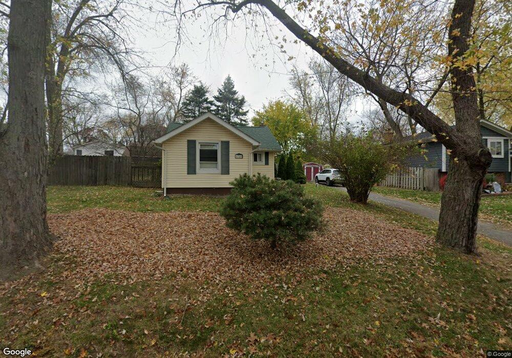
6780 Grassland Ave Unit Bldg-Unit West Bloomfield, MI 48324
Estimated Value: $207,000 - $246,000
2
Beds
1
Bath
883
Sq Ft
$255/Sq Ft
Est. Value
About This Home
This home is located at 6780 Grassland Ave Unit Bldg-Unit, West Bloomfield, MI 48324 and is currently estimated at $224,728, approximately $254 per square foot. 6780 Grassland Ave Unit Bldg-Unit is a home located in Oakland County with nearby schools including Our Lady Of Refuge School and St Mary's Preparatory School.
Ownership History
Date
Name
Owned For
Owner Type
Purchase Details
Closed on
Feb 2, 2018
Sold by
Pierce Harrison and Estate Of Keith W Pierce
Bought by
Susan K Prost Llc
Current Estimated Value
Purchase Details
Closed on
Jul 16, 2009
Sold by
Pierce Keith W
Bought by
Maschari Kim
Purchase Details
Closed on
Dec 22, 2006
Sold by
Universal Mortgage Corp
Bought by
Pierce Keith W
Purchase Details
Closed on
Mar 7, 2006
Sold by
Mclaughlin Mary
Bought by
Universal Mortgage Corporation
Purchase Details
Closed on
Oct 25, 2005
Sold by
Mclaughlin Mary
Bought by
Universal Mortgage Corporation
Create a Home Valuation Report for This Property
The Home Valuation Report is an in-depth analysis detailing your home's value as well as a comparison with similar homes in the area
Home Values in the Area
Average Home Value in this Area
Purchase History
| Date | Buyer | Sale Price | Title Company |
|---|---|---|---|
| Susan K Prost Llc | $80,000 | Cislo Title Co | |
| Maschari Kim | -- | Philip R Seaver Title Co Inc | |
| Pierce Keith W | $78,000 | None Available | |
| Universal Mortgage Corporation | $127,256 | None Available | |
| Universal Mortgage Corporation | $121,751 | None Available |
Source: Public Records
Tax History Compared to Growth
Tax History
| Year | Tax Paid | Tax Assessment Tax Assessment Total Assessment is a certain percentage of the fair market value that is determined by local assessors to be the total taxable value of land and additions on the property. | Land | Improvement |
|---|---|---|---|---|
| 2024 | $2,976 | $77,950 | $0 | $0 |
| 2022 | $2,837 | $73,170 | $36,070 | $37,100 |
| 2021 | $3,543 | $70,530 | $0 | $0 |
| 2020 | $2,555 | $68,330 | $36,070 | $32,260 |
| 2018 | $1,902 | $59,390 | $36,070 | $23,320 |
| 2015 | -- | $51,020 | $0 | $0 |
| 2014 | -- | $47,590 | $0 | $0 |
Source: Public Records
Map
Nearby Homes
- 6768 Buckland Ave
- 3950 Bradmore Ave
- 3965 Carrick Ave
- 3991 Fieldview Ave
- 6903 Dandison Blvd
- 3632 Fieldview Ave
- 4066 Green Lake Rd
- 0000 Langtoft
- 3641 Green Lake Rd
- 6675 Langtoft St
- 6978 Colony Dr
- 6707 Heatherwood Dr
- 7146 Arrowood Dr
- 4245 Bunker Ave
- 4442 Borland St
- 3701 Northwood
- 4335 Crestdale Ave
- 6420 Commerce Rd
- 7369 Sweetbriar
- 4212 Greendale Ave
- 6780 Grassland Ave
- 6760 Grassland Ave
- 0000 Aeroview St
- 6790 Grassland Ave
- 6759 Buckland Ave
- 6779 Grassland Ave
- 6752 Grassland Ave
- 6777 Grassland Ave
- 6735 Buckland Ave
- 6783 Buckland Ave
- 6798 Grassland Ave
- 6775 Grassland Ave
- 6731 Buckland Ave
- 6797 Grassland Ave Unit Bldg-Unit
- 6797 Grassland Ave
- 6760 Buckland Ave
- 6776 Buckland Ave
- 6766 Dandison Blvd
- 6752 Buckland Ave
- 6748 Grassland Ave