6782 Deer Path Evergreen, CO 80439
Shadow Mountain NeighborhoodEstimated Value: $781,000 - $863,000
3
Beds
3
Baths
2,871
Sq Ft
$285/Sq Ft
Est. Value
About This Home
This home is located at 6782 Deer Path, Evergreen, CO 80439 and is currently estimated at $817,953, approximately $284 per square foot. 6782 Deer Path is a home located in Jefferson County with nearby schools including Wilmot Elementary School, Evergreen Middle School, and Evergreen High School.
Ownership History
Date
Name
Owned For
Owner Type
Purchase Details
Closed on
May 2, 2019
Sold by
Beckham Wallace and Beckham Patricia
Bought by
Stitt Mark and Stitt Shey
Current Estimated Value
Home Financials for this Owner
Home Financials are based on the most recent Mortgage that was taken out on this home.
Original Mortgage
$524,400
Outstanding Balance
$457,231
Interest Rate
4.2%
Mortgage Type
New Conventional
Estimated Equity
$360,722
Purchase Details
Closed on
Jun 17, 1998
Sold by
Karuzas James A and Karuzas Nancy E
Bought by
Beckham Wallace and Beckham Patricia
Create a Home Valuation Report for This Property
The Home Valuation Report is an in-depth analysis detailing your home's value as well as a comparison with similar homes in the area
Home Values in the Area
Average Home Value in this Area
Purchase History
| Date | Buyer | Sale Price | Title Company |
|---|---|---|---|
| Stitt Mark | $552,000 | Land Title Guarantee Co | |
| Beckham Wallace | $177,500 | -- |
Source: Public Records
Mortgage History
| Date | Status | Borrower | Loan Amount |
|---|---|---|---|
| Open | Stitt Mark | $524,400 |
Source: Public Records
Tax History
| Year | Tax Paid | Tax Assessment Tax Assessment Total Assessment is a certain percentage of the fair market value that is determined by local assessors to be the total taxable value of land and additions on the property. | Land | Improvement |
|---|---|---|---|---|
| 2024 | $4,010 | $43,728 | $11,644 | $32,084 |
| 2023 | $4,010 | $43,728 | $11,644 | $32,084 |
| 2022 | $3,497 | $37,018 | $6,552 | $30,466 |
| 2021 | $3,533 | $38,083 | $6,740 | $31,343 |
| 2020 | $2,905 | $31,064 | $5,016 | $26,048 |
| 2019 | $2,205 | $31,064 | $5,016 | $26,048 |
| 2018 | $2,004 | $28,224 | $5,835 | $22,389 |
| 2017 | $1,825 | $28,224 | $5,835 | $22,389 |
| 2016 | $1,813 | $27,488 | $6,362 | $21,126 |
| 2015 | $1,449 | $27,488 | $6,362 | $21,126 |
| 2014 | $1,449 | $23,095 | $6,530 | $16,565 |
Source: Public Records
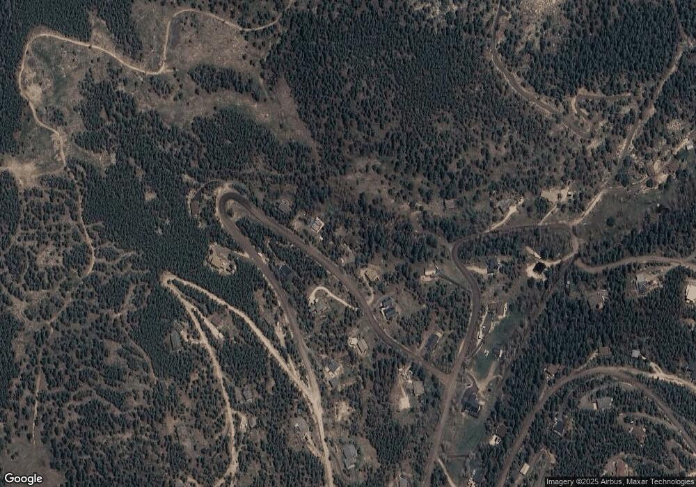
Map
Nearby Homes
- 6884 Woodchuck Way
- 7041 Brook Forest Dr
- 34155 Grouse Ln
- 7051 Ski Trail
- 6997 Skunk Aly
- 33131 Lynx Ln
- 0 Timber Ridge Rd
- 32553 Lodgepole Cir
- 32764 Lodgepole Cir
- 32857 Little Cub Rd
- 32783 Lodgepole Cir
- 32392 Lodgepole Dr
- 32209 Blue Springs Dr
- 6249 Shasta Ln
- 240 Deer Rd
- 31634 Ponderosa Way
- 31653 Ponderosa Way
- 31753 Miwok Trail
- 0 Ute Trail Unit REC9828385
- 100 Apache Rd
- 6762 Deer Path
- 6762 S Deer Path
- 6822 Deer Path
- 6822 S Deer Path
- 6742 Deer Path
- 6742 S Deer Path
- 6823 Deer Path
- 6842 Deer Path
- 6842 S Deer Path
- 6771 Brook Forest Dr
- 6843 Deer Path
- 6846 Fawn Path
- 6862 Deer Path
- 6770 Brook Forest Dr
- 6751 Brook Forest Dr
- 6765 Woodchuck Way
- 6820 Brook Forest Dr
- 6851 Brook Forest Dr
- 6848 Weasel Way
- 6748 Woodchuck Way
Your Personal Tour Guide
Ask me questions while you tour the home.