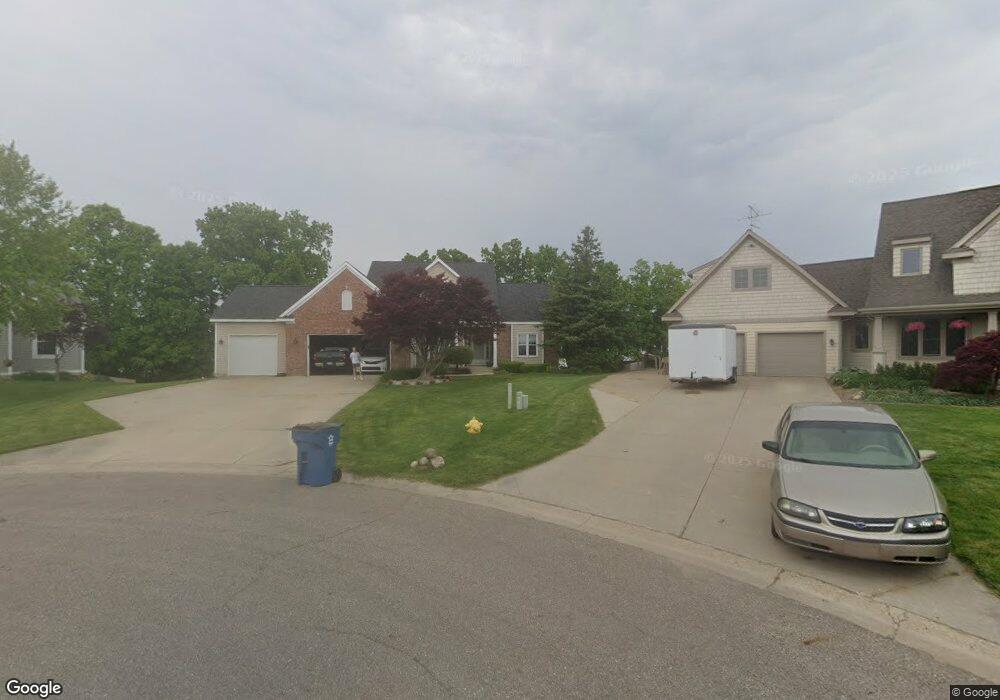
6784 34th Ave Hudsonville, MI 49426
Estimated Value: $491,000 - $565,000
4
Beds
3
Baths
2,141
Sq Ft
$248/Sq Ft
Est. Value
About This Home
This home is located at 6784 34th Ave, Hudsonville, MI 49426 and is currently estimated at $531,678, approximately $248 per square foot. 6784 34th Ave is a home located in Ottawa County with nearby schools including Baldwin Street Middle School, Hudsonville Freshman Campus, and Hudsonville High School.
Ownership History
Date
Name
Owned For
Owner Type
Purchase Details
Closed on
Apr 2, 2024
Sold by
Dykstra John and Dykstra Cathryn
Bought by
Dykstra John T and Dykstra Living Trust
Current Estimated Value
Purchase Details
Closed on
Jun 20, 2008
Sold by
Oostindie David L and Oostindie Kimberly R
Bought by
Dykstra John and Dykstra Cathryn
Home Financials for this Owner
Home Financials are based on the most recent Mortgage that was taken out on this home.
Original Mortgage
$249,600
Interest Rate
6.05%
Mortgage Type
Purchase Money Mortgage
Create a Home Valuation Report for This Property
The Home Valuation Report is an in-depth analysis detailing your home's value as well as a comparison with similar homes in the area
Home Values in the Area
Average Home Value in this Area
Purchase History
| Date | Buyer | Sale Price | Title Company |
|---|---|---|---|
| Dykstra John T | -- | Michigan Land Title | |
| Dykstra John | $312,000 | None Available |
Source: Public Records
Mortgage History
| Date | Status | Borrower | Loan Amount |
|---|---|---|---|
| Previous Owner | Dykstra John | $249,600 | |
| Previous Owner | Dykstra John | $26,000 |
Source: Public Records
Tax History Compared to Growth
Tax History
| Year | Tax Paid | Tax Assessment Tax Assessment Total Assessment is a certain percentage of the fair market value that is determined by local assessors to be the total taxable value of land and additions on the property. | Land | Improvement |
|---|---|---|---|---|
| 2025 | $4,355 | $275,700 | $0 | $0 |
| 2024 | $3,769 | $263,500 | $0 | $0 |
| 2023 | $3,599 | $225,700 | $0 | $0 |
| 2022 | $3,956 | $198,000 | $0 | $0 |
| 2021 | $3,830 | $185,200 | $0 | $0 |
| 2020 | $3,790 | $185,900 | $0 | $0 |
| 2019 | $3,795 | $168,200 | $0 | $0 |
| 2018 | $3,530 | $157,700 | $0 | $0 |
| 2017 | $3,465 | $158,300 | $0 | $0 |
| 2016 | $3,402 | $148,200 | $0 | $0 |
| 2015 | $3,247 | $142,200 | $0 | $0 |
| 2014 | $3,247 | $124,800 | $0 | $0 |
Source: Public Records
Map
Nearby Homes
- V/L Port Sheldon St
- 3204 Port Sheldon St
- 6620 Sheldon Crossings Dr
- 2969 Osprey Dr Unit 27
- 2921 N Wentward Ct
- 6760 N Wentward Ct
- 3528 Tearose Dr
- 7068 Jasper Dr
- 6722 N Wentward Ct Unit 77
- 7318 Alycia Dr
- 7313 Valhalla Dr
- 3808 Port Sheldon St
- 6714 Cedar Grove W
- 3617 Teton Dr
- 6724 28th Ave
- 6950 Meadowcreek Dr
- 2698 Cedargrove N
- 3646 Lenters Dr
- 7381 Rolling Hills Dr
- 4101 Blair St
- 6776 34th Ave
- 6779 34th Ave
- 3374 High Meadow Dr
- 3382 High Meadow Dr
- 3360 Highmeadow Dr
- 6766 34th Ave
- 6769 34th Ave
- 3348 Highmeadow Dr
- 6827 Highmeadow Dr
- 6753 34th Ave
- 6752 34th Ave
- 6784 City Ridge Dr
- 6798 City Ridge Dr
- 6842 High Meadow Dr
- 3334 High Meadow Dr
- 3421 Nobb Hill Dr
- 6801 City View Dr
- 6801 City View Dr
- 3331 Nobb Hill Dr
- 6812 City Ridge Dr