6784 Funk Rd West Liberty, OH 43357
Estimated Value: $232,000 - $381,000
3
Beds
2
Baths
2,324
Sq Ft
$135/Sq Ft
Est. Value
About This Home
This home is located at 6784 Funk Rd, West Liberty, OH 43357 and is currently estimated at $313,388, approximately $134 per square foot. 6784 Funk Rd is a home located in Champaign County with nearby schools including West Liberty-Salem Elementary School and West Liberty-Salem Middle/High School.
Ownership History
Date
Name
Owned For
Owner Type
Purchase Details
Closed on
Jun 5, 2010
Sold by
Leichty Jacob and Leichty Grace E
Bought by
Leichty Darrin J and Leichty Sarah J
Current Estimated Value
Home Financials for this Owner
Home Financials are based on the most recent Mortgage that was taken out on this home.
Original Mortgage
$128,000
Interest Rate
5.14%
Mortgage Type
Future Advance Clause Open End Mortgage
Create a Home Valuation Report for This Property
The Home Valuation Report is an in-depth analysis detailing your home's value as well as a comparison with similar homes in the area
Home Values in the Area
Average Home Value in this Area
Purchase History
| Date | Buyer | Sale Price | Title Company |
|---|---|---|---|
| Leichty Darrin J | $160,000 | Attorney |
Source: Public Records
Mortgage History
| Date | Status | Borrower | Loan Amount |
|---|---|---|---|
| Closed | Leichty Darrin J | $128,000 |
Source: Public Records
Tax History Compared to Growth
Tax History
| Year | Tax Paid | Tax Assessment Tax Assessment Total Assessment is a certain percentage of the fair market value that is determined by local assessors to be the total taxable value of land and additions on the property. | Land | Improvement |
|---|---|---|---|---|
| 2024 | $2,656 | $70,240 | $14,890 | $55,350 |
| 2023 | $2,656 | $70,240 | $14,890 | $55,350 |
| 2022 | $2,665 | $70,240 | $14,890 | $55,350 |
| 2021 | $2,279 | $56,190 | $11,910 | $44,280 |
| 2020 | $2,279 | $56,190 | $11,910 | $44,280 |
| 2019 | $2,252 | $56,190 | $11,910 | $44,280 |
| 2018 | $1,888 | $47,760 | $11,210 | $36,550 |
| 2017 | $1,861 | $47,760 | $11,210 | $36,550 |
| 2016 | $1,475 | $47,760 | $11,210 | $36,550 |
| 2015 | $1,328 | $46,050 | $11,210 | $34,840 |
| 2014 | $1,329 | $46,050 | $11,210 | $34,840 |
| 2013 | $1,317 | $46,050 | $11,210 | $34,840 |
Source: Public Records
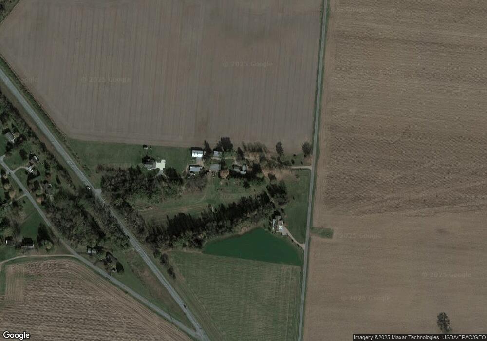
Map
Nearby Homes
- 7885 N Ludlow Rd
- 4416 N US Highway 68
- 1010 W Herr Rd
- 619 W Baird St
- 215 N Detroit St
- 116 E Newell St
- 512 W Columbus St
- 308 Reynolds St
- 1324 Kennard Kingscreek Rd
- 414 N Detroit St
- 0 N Ludlow Rd
- Lot 2 N Ludlow Rd
- 0 Ohio 296
- 0 County Road 189
- . Co Rd 189
- Lot 1 County Road 1
- 2889 E State Route 296
- 5714 Hickory Dr
- 4124 State Route 245 W
- 10590 County Road 41
- 6688 Funk Rd
- 6723 Us Highway 68 N
- 6641 W Kanagy Rd
- 6745 W Kanagy Rd
- 6654 W Kanagy Rd
- 6751 W Kanagy Rd
- 6710 W Kanagy Rd
- 6740 W Kanagy Rd
- 6484 Funk Rd
- 6760 W Kanagy Rd
- 6795 W Kanagy Rd
- 6780 W Kanagy Rd
- 7003 Us Highway 68 N
- 6830 W Kanagy Rd
- 6295 N Us Highway 68
- 6800 W Kanagy Rd
- 7272 Funk Rd
- 6131 N U S 68
- 6131 N Us Highway 68
- 7395 Funk Rd