6786 Trump Ct Ropesville, TX 79358
Estimated Value: $660,441
4
Beds
3
Baths
3,254
Sq Ft
$203/Sq Ft
Est. Value
About This Home
This home is located at 6786 Trump Ct, Ropesville, TX 79358 and is currently estimated at $660,441, approximately $202 per square foot. 6786 Trump Ct is a home located in Hockley County with nearby schools including Ropes School.
Ownership History
Date
Name
Owned For
Owner Type
Purchase Details
Closed on
Oct 28, 2024
Sold by
Tharp Preston and Tharp Siairra
Bought by
Mcqueen Mandy
Current Estimated Value
Home Financials for this Owner
Home Financials are based on the most recent Mortgage that was taken out on this home.
Original Mortgage
$520,000
Outstanding Balance
$514,376
Interest Rate
6.2%
Mortgage Type
New Conventional
Estimated Equity
$146,065
Purchase Details
Closed on
Apr 22, 2024
Sold by
Nall Glenn Donnell and Nall Glenn
Bought by
Tharp Siarra and Tharp Preston
Create a Home Valuation Report for This Property
The Home Valuation Report is an in-depth analysis detailing your home's value as well as a comparison with similar homes in the area
Home Values in the Area
Average Home Value in this Area
Purchase History
| Date | Buyer | Sale Price | Title Company |
|---|---|---|---|
| Mcqueen Mandy | -- | American Land Title | |
| Tharp Siarra | -- | Hub City Title |
Source: Public Records
Mortgage History
| Date | Status | Borrower | Loan Amount |
|---|---|---|---|
| Open | Mcqueen Mandy | $520,000 |
Source: Public Records
Tax History Compared to Growth
Tax History
| Year | Tax Paid | Tax Assessment Tax Assessment Total Assessment is a certain percentage of the fair market value that is determined by local assessors to be the total taxable value of land and additions on the property. | Land | Improvement |
|---|---|---|---|---|
| 2025 | $11,429 | $615,280 | $44,680 | $570,600 |
| 2024 | $8,018 | $534,660 | $42,550 | $492,110 |
| 2023 | $9,339 | $507,220 | $37,000 | $470,220 |
| 2022 | $10,452 | $485,370 | $37,000 | $448,370 |
| 2021 | $10,411 | $429,130 | $37,000 | $392,130 |
| 2020 | $9,789 | $429,130 | $37,000 | $392,130 |
| 2019 | $12,668 | $529,750 | $37,000 | $492,750 |
| 2018 | $12,710 | $531,480 | $37,000 | $494,480 |
| 2017 | $10,187 | $419,790 | $37,000 | $382,790 |
| 2016 | $898 | $37,000 | $37,000 | $0 |
| 2015 | -- | $18,500 | $18,500 | $0 |
| 2014 | -- | $18,500 | $18,500 | $0 |
Source: Public Records
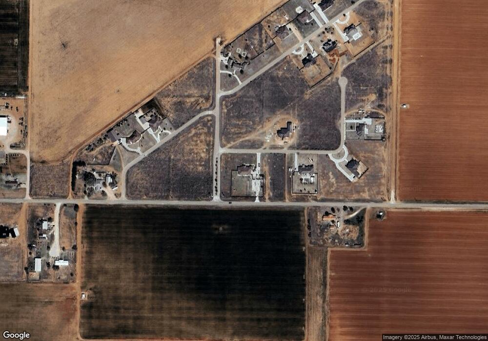
Map
Nearby Homes
- 6787 Trump Ct
- 3898 Cooper Blvd
- 3889 Cooper Blvd
- RFP, UNIT 3 Cooper Blvd
- 3892 Cooper Blvd
- 6788 Trump Ct
- 6769 Foster Rd
- 6791 Eagle Cir
- 4045 Us Highway 62 82
- 0 Parot Rd
- 0 Hwy 62 82
- 6803 Sunset Ln
- 6809 Sunset Ln
- 6815 Sunset Ln
- 6802 Sunset Ln
- 6814 Sunset Ln
- 6896 Sunset Ln
- 6855 Sunset Ln
- 6895 Sunset Ln
- 6889 Sunset Ln
- 11 Trump Ct
- 6790 Trump Ct
- 27 Cooper Blvd
- 0 Cooper Blvd
- 3893 Cooper Blvd
- 3896 Cooper Blvd
- 3888 Cooper Blvd
- 6783 Dell Dr
- 0 Trump Unit 9989322
- 0 Trump Unit 9992412
- 0 Trump Unit 9992411
- 0 Trump Unit 9997214
- 0 Trump Unit 9997772
- 0 Trump Unit 9997771
- 0 Trump Unit 9998196
- 0 Trump Unit 9998195
- 0 Trump Unit 201401040
- 0 Trump Unit 201401039
- 0 Trump Unit 201608050
- 0 Trump Unit 201703582