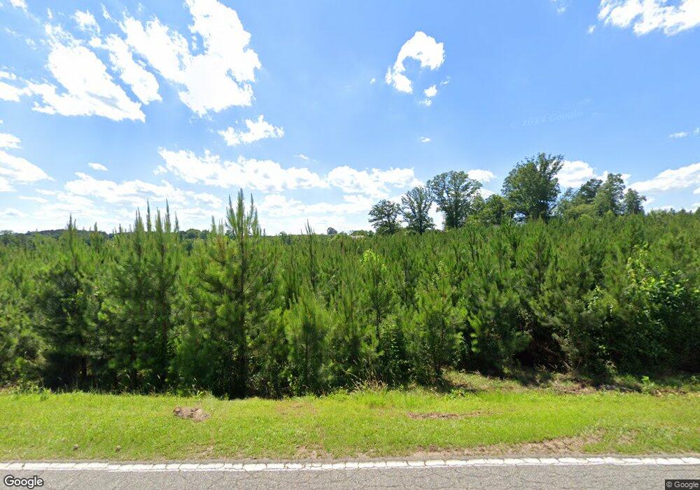
679 Bennett Rd Ellerbe, NC 28338
Estimated Value: $164,000 - $238,134
Studio
--
Bath
1,564
Sq Ft
$130/Sq Ft
Est. Value
About This Home
This home is located at 679 Bennett Rd, Ellerbe, NC 28338 and is currently estimated at $203,784, approximately $130 per square foot. 679 Bennett Rd is a home with nearby schools including Mineral Springs Elementary School, Ellerbe Middle School, and Ashley Chapel Educational Center.
Ownership History
Date
Name
Owned For
Owner Type
Purchase Details
Closed on
Oct 5, 2017
Sold by
Ussery Lila Mae
Bought by
Sugg Wayne Allen and Sugg Christina King
Current Estimated Value
Home Financials for this Owner
Home Financials are based on the most recent Mortgage that was taken out on this home.
Original Mortgage
$72,546
Outstanding Balance
$39,422
Interest Rate
3.82%
Mortgage Type
Future Advance Clause Open End Mortgage
Estimated Equity
$164,362
Purchase Details
Closed on
Jan 1, 1939
Bought by
Ussery Joe A and Ussery Lila
Create a Home Valuation Report for This Property
The Home Valuation Report is an in-depth analysis detailing your home's value as well as a comparison with similar homes in the area
Purchase History
| Date | Buyer | Sale Price | Title Company |
|---|---|---|---|
| Sugg Wayne Allen | $97,000 | None Available | |
| Ussery Joe A | -- | -- |
Source: Public Records
Mortgage History
| Date | Status | Borrower | Loan Amount |
|---|---|---|---|
| Open | Sugg Wayne Allen | $72,546 |
Source: Public Records
Tax History Compared to Growth
Tax History
| Year | Tax Paid | Tax Assessment Tax Assessment Total Assessment is a certain percentage of the fair market value that is determined by local assessors to be the total taxable value of land and additions on the property. | Land | Improvement |
|---|---|---|---|---|
| 2025 | $987 | $168,705 | $100,721 | $67,984 |
| 2024 | $1,006 | $168,705 | $100,721 | $67,984 |
| 2023 | $798 | $96,729 | $48,915 | $47,814 |
| 2022 | $798 | $96,729 | $48,915 | $47,814 |
| 2021 | $794 | $96,729 | $48,915 | $47,814 |
| 2020 | $790 | $96,729 | $48,915 | $47,814 |
| 2019 | $790 | $96,729 | $48,915 | $47,814 |
| 2018 | $790 | $96,729 | $48,915 | $47,814 |
| 2016 | $759 | $96,729 | $48,915 | $47,814 |
| 2014 | -- | $81,968 | $38,360 | $43,608 |
Source: Public Records
Map
Nearby Homes
- 151 Godfrey Rd
- TBD N Carolina 73
- 370 N Carolina 73
- 650 Clayton Carriker Rd
- 654 Clayton Carriker Rd
- Tbd Crawford Rd
- 3 Green Lake Rd
- 1471 Greenlake Rd
- TBD Concord Church Rd
- Tbd Old Blue Rd
- Tbd Concord Church Rd
- 132 W Moore St
- 277 Old Woods Rd
- TBD Grassy Island Rd
- 8 Country
- 7 Country
- 0 Sandy Ridge Church Rd
- 110 Haywood Cemetery Rd
- 119 Dockery Rd
- Tbd Robinson St
- 672 Bennett Rd
- 549 W Nc Highway 73
- 627 Bennett Rd
- 778 Marvin McCaskill Rd
- 606 W Nc Highway 73
- 623 W Nc Highway 73
- 471 W Nc Highway 73
- 211 Vernon White Rd
- 765 Bennett Rd
- 581 Bennett Rd
- 450 W Nc Highway 73
- 766 Marvin McCaskill Rd
- 848 Marvin McCaskill Rd
- 844 Marvin McCaskill Rd
- 636 W Nc Highway 73
- 833 Marvin McCaskill Rd
- 0 Gray Fox Rd
- 198 Grey Fox Rd
- 886 Bennett Rd
- 164 Grey Fox Rd
