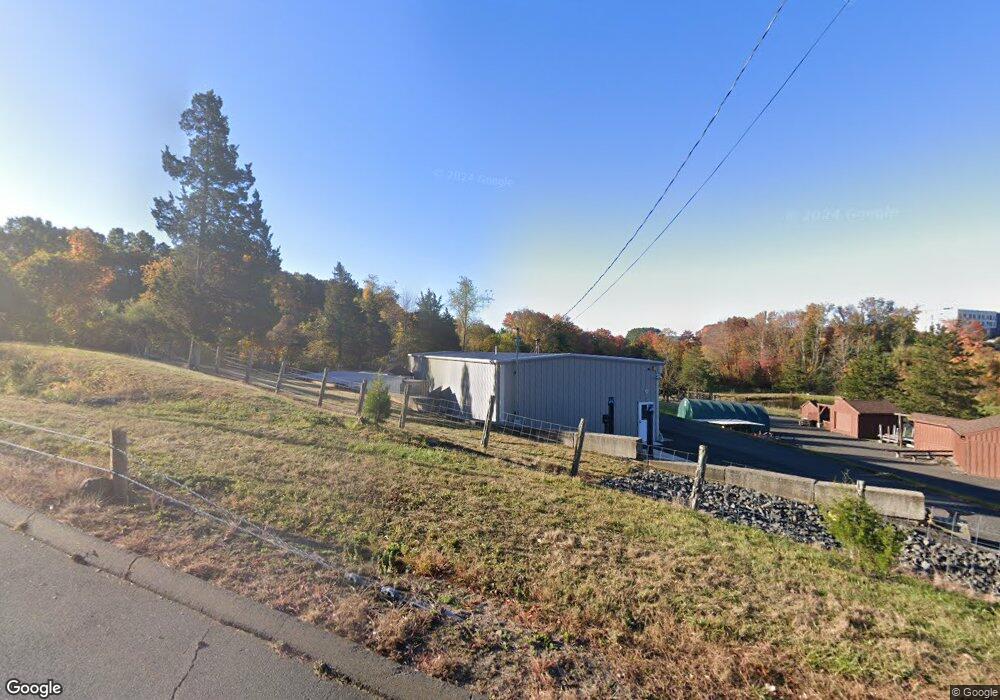
679 Curtiss St Southington, CT 06489
West Southington NeighborhoodEstimated Value: $553,000 - $742,444
3
Beds
3
Baths
2,094
Sq Ft
$296/Sq Ft
Est. Value
About This Home
This home is located at 679 Curtiss St, Southington, CT 06489 and is currently estimated at $620,611, approximately $296 per square foot. 679 Curtiss St is a home with nearby schools including Reuben E. Thalberg Elementary School, Joseph A. Depaolo Middle School, and Southington High School.
Ownership History
Date
Name
Owned For
Owner Type
Purchase Details
Closed on
Dec 4, 1996
Sold by
Duksa Zigmon and Duksa Clara
Bought by
Carriers Llc
Current Estimated Value
Home Financials for this Owner
Home Financials are based on the most recent Mortgage that was taken out on this home.
Original Mortgage
$412,171
Interest Rate
8%
Mortgage Type
Purchase Money Mortgage
Create a Home Valuation Report for This Property
The Home Valuation Report is an in-depth analysis detailing your home's value as well as a comparison with similar homes in the area
Home Values in the Area
Average Home Value in this Area
Purchase History
| Date | Buyer | Sale Price | Title Company |
|---|---|---|---|
| Carriers Llc | $1,091,500 | -- | |
| Carriers Llc | $1,091,500 | -- |
Source: Public Records
Mortgage History
| Date | Status | Borrower | Loan Amount |
|---|---|---|---|
| Closed | Carriers Llc | $412,171 |
Source: Public Records
Tax History Compared to Growth
Tax History
| Year | Tax Paid | Tax Assessment Tax Assessment Total Assessment is a certain percentage of the fair market value that is determined by local assessors to be the total taxable value of land and additions on the property. | Land | Improvement |
|---|---|---|---|---|
| 2025 | $12,402 | $373,450 | $125,590 | $247,860 |
| 2024 | $11,741 | $373,450 | $125,590 | $247,860 |
| 2023 | $11,338 | $373,450 | $125,590 | $247,860 |
| 2022 | $10,879 | $373,450 | $125,590 | $247,860 |
| 2021 | $11,368 | $391,600 | $125,590 | $266,010 |
| 2020 | $1,265 | $41,290 | $8,640 | $32,650 |
| 2019 | $1,265 | $41,290 | $8,640 | $32,650 |
| 2018 | $1,259 | $41,290 | $8,640 | $32,650 |
| 2017 | $1,260 | $41,330 | $8,680 | $32,650 |
| 2016 | $1,225 | $41,330 | $8,680 | $32,650 |
| 2015 | $1,271 | $43,620 | $8,680 | $34,940 |
| 2014 | $1,237 | $43,620 | $8,680 | $34,940 |
Source: Public Records
Map
Nearby Homes
- 490 Lazy Ln
- 30 Oxford Ln
- 211 Juniper Rd
- 0 Winchester Estates Lot 17
- 554 Spring St
- 61 Pine Hollow Dr
- 244 Curtiss St
- 110 W Pines Dr
- 45 Hart St
- 62 Bagno Dr
- 92 Lowery Dr
- 271 Rolling Hill Ln
- 338 W Pines Dr
- 449 Mill St
- 42 Whistling Straits Dr
- 240 Jude Ln
- 475 Jude Ln
- 132 Walkley Dr
- 93 Bishop Ave
- 273 Queen St Unit 9A