Estimated Value: $253,000 - $264,096
3
Beds
3
Baths
1,128
Sq Ft
$228/Sq Ft
Est. Value
About This Home
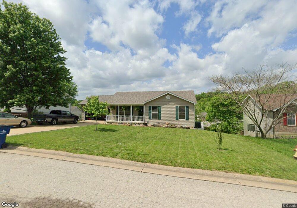
This home is located at 679 Lindsey Dr, Union, MO 63084 and is currently estimated at $257,032, approximately $227 per square foot. 679 Lindsey Dr is a home located in Franklin County with nearby schools including Union High School and Immaculate Conception School.
Ownership History
Date
Name
Owned For
Owner Type
Purchase Details
Closed on
Sep 17, 2024
Sold by
Lang Gary and Lang Marla J
Bought by
Lang Gary and Lang Marla J
Current Estimated Value
Create a Home Valuation Report for This Property
The Home Valuation Report is an in-depth analysis detailing your home's value as well as a comparison with similar homes in the area
Home Values in the Area
Average Home Value in this Area
Purchase History
| Date | Buyer | Sale Price | Title Company |
|---|---|---|---|
| Lang Gary | -- | None Listed On Document |
Source: Public Records
Tax History
| Year | Tax Paid | Tax Assessment Tax Assessment Total Assessment is a certain percentage of the fair market value that is determined by local assessors to be the total taxable value of land and additions on the property. | Land | Improvement |
|---|---|---|---|---|
| 2025 | $1,780 | $35,097 | $0 | $0 |
| 2024 | $1,780 | $29,581 | $0 | $0 |
| 2023 | $1,783 | $29,581 | $0 | $0 |
| 2022 | $1,856 | $30,738 | $0 | $0 |
| 2021 | $1,859 | $30,738 | $0 | $0 |
| 2020 | $1,702 | $27,687 | $0 | $0 |
| 2019 | $1,698 | $27,687 | $0 | $0 |
| 2018 | $1,578 | $27,005 | $0 | $0 |
| 2017 | $1,582 | $27,005 | $0 | $0 |
| 2016 | $1,595 | $26,613 | $0 | $0 |
| 2015 | $1,570 | $26,613 | $0 | $0 |
| 2014 | $1,584 | $26,839 | $0 | $0 |
Source: Public Records
Map
Nearby Homes
- 626 Lindsey Dr
- 26 & 30 Ridge Point Meadows
- 0 Lot 5 Clearview Dr Unit 19010510
- 0 Lot 3 Clearview Dr Unit MIS26011988
- 702 Clearview Dr Unit 1
- 0 Lot 4 Clearview Dr Unit 19010507
- 0 Lot 6 Clearview Dr Unit 19010511
- 0 Clearview Unit 19010495
- 154 Joel Ave
- 4 Lindner Ln
- 914 W State St
- 408 Hall Ave
- 613 W State St
- 54 Hickory Cir
- 413 W State St
- 605 S Jefferson Ave
- 613 S Jefferson Ave
- 21 Forest Ln
- 0 Oak Grove School Rd
- 1016 Westmoreland Blvd
- 675 Lindsey Dr
- 683 Lindsey Dr
- 607 Lindsey Dr
- 7 Lindsey Dr
- 605 Lindsey Dr
- 605 Lindsey Dr
- 609 Lindsey Dr
- 671 Lindsey Dr
- 687 Lindsey Dr
- 684 Lindsey Dr
- 680 Lindsey Dr
- 676 Lindsey Dr
- 686 Lindsey Dr
- 603 Lindsey Dr
- 676 Lindsey Dr
- 667 Lindsey Dr
- 691 Lindsey Dr
- 690 Lindsey Dr
- 670 Lindsey Dr
- 5 Brittany Dail Dr
Your Personal Tour Guide
Ask me questions while you tour the home.