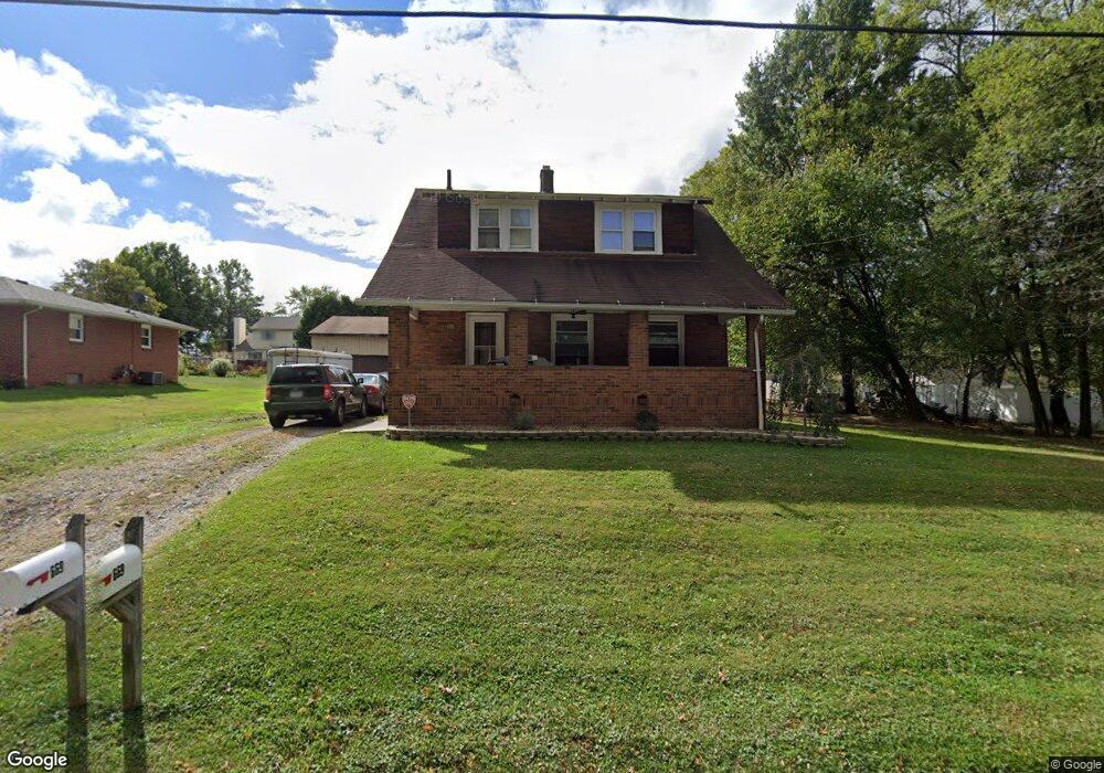
679 Penhale Ave Campbell, OH 44405
Estimated Value: $107,000 - $176,000
3
Beds
1
Bath
1,144
Sq Ft
$113/Sq Ft
Est. Value
About This Home
This home is located at 679 Penhale Ave, Campbell, OH 44405 and is currently estimated at $129,065, approximately $112 per square foot. 679 Penhale Ave is a home located in Mahoning County with nearby schools including Campbell Elementary School, Memorial High School, and Northeast Ohio Impact Academy.
Ownership History
Date
Name
Owned For
Owner Type
Purchase Details
Closed on
Jan 11, 2006
Sold by
Gates Thomas J and Gates Twila June
Bought by
Morgan John E
Current Estimated Value
Home Financials for this Owner
Home Financials are based on the most recent Mortgage that was taken out on this home.
Original Mortgage
$45,289
Outstanding Balance
$25,561
Interest Rate
6.34%
Mortgage Type
FHA
Estimated Equity
$103,504
Purchase Details
Closed on
Jun 13, 1978
Bought by
Gattamelata Tomasina
Create a Home Valuation Report for This Property
The Home Valuation Report is an in-depth analysis detailing your home's value as well as a comparison with similar homes in the area
Home Values in the Area
Average Home Value in this Area
Purchase History
| Date | Buyer | Sale Price | Title Company |
|---|---|---|---|
| Morgan John E | $46,000 | None Available | |
| Gattamelata Tomasina | -- | -- |
Source: Public Records
Mortgage History
| Date | Status | Borrower | Loan Amount |
|---|---|---|---|
| Open | Morgan John E | $45,289 |
Source: Public Records
Tax History Compared to Growth
Tax History
| Year | Tax Paid | Tax Assessment Tax Assessment Total Assessment is a certain percentage of the fair market value that is determined by local assessors to be the total taxable value of land and additions on the property. | Land | Improvement |
|---|---|---|---|---|
| 2024 | $955 | $27,930 | $2,540 | $25,390 |
| 2023 | $976 | $27,930 | $2,540 | $25,390 |
| 2022 | $273 | $13,090 | $2,540 | $10,550 |
| 2021 | $256 | $13,090 | $2,540 | $10,550 |
| 2020 | $260 | $13,090 | $2,540 | $10,550 |
| 2019 | $144 | $10,820 | $2,100 | $8,720 |
| 2018 | $148 | $10,820 | $2,100 | $8,720 |
| 2017 | $172 | $10,820 | $2,100 | $8,720 |
| 2016 | $200 | $11,820 | $2,100 | $9,720 |
| 2015 | $196 | $11,820 | $2,100 | $9,720 |
| 2014 | $196 | $11,820 | $2,100 | $9,720 |
| 2013 | $192 | $11,820 | $2,100 | $9,720 |
Source: Public Records
Map
Nearby Homes
- 684 Devitt Ave
- 650 Penhale Ave
- 680 Tenney Ave
- 664 Tenney Ave
- 746 Whipple Ave
- 528 Hyatt Ave
- 519 Blossom Ave
- 0 Penhale Ave
- 291 Struthers Liberty Rd
- 456 Sycamore Dr
- 102 Bright Ave
- 459 Tenney Ave
- 247 Reed Ave
- 527 Cynthia Dr
- 213 Struthers Liberty Rd
- 64 Creed Cir
- 853 Almasy Dr
- 130 12th St
- 619 Robinson Rd
- 461 Park Dr
- 657 Penhale Ave
- 665 Penhale Ave
- 670 Devitt Ave
- 435 16th St
- 672 Devitt Ave
- 664 Devitt Ave
- 662 Devitt Ave
- 676 Devitt Ave
- 662 Penhale Ave
- 655 Penhale Ave
- 675 Penhale Ave
- 680 Devitt Ave
- 674 Penhale Ave
- 677 Penhale Ave
- 647 Penhale Ave
- 633 16th St
- 654 Penhale Ave
- 671 Devitt Ave
- 665 Devitt Ave
- 680 Penhale Ave