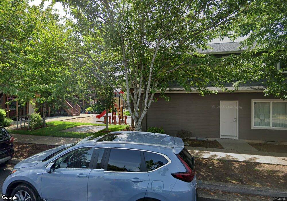
679 SE 197th Ave Unit 12 Portland, OR 97233
Rockwood NeighborhoodEstimated Value: $261,000 - $281,000
--
Bed
2
Baths
1,296
Sq Ft
$211/Sq Ft
Est. Value
About This Home
This home is located at 679 SE 197th Ave Unit 12, Portland, OR 97233 and is currently estimated at $273,570, approximately $211 per square foot. 679 SE 197th Ave Unit 12 is a home located in Multnomah County with nearby schools including Davis Elementary School, Reynolds Middle School, and Reynolds High School.
Ownership History
Date
Name
Owned For
Owner Type
Purchase Details
Closed on
Jun 15, 2010
Sold by
Habitat For Humanity Portland/Metro East
Bought by
Bounvassana Mary
Current Estimated Value
Home Financials for this Owner
Home Financials are based on the most recent Mortgage that was taken out on this home.
Original Mortgage
$116,920
Interest Rate
4.38%
Mortgage Type
Seller Take Back
Create a Home Valuation Report for This Property
The Home Valuation Report is an in-depth analysis detailing your home's value as well as a comparison with similar homes in the area
Home Values in the Area
Average Home Value in this Area
Purchase History
| Date | Buyer | Sale Price | Title Company |
|---|---|---|---|
| Bounvassana Mary | $148,000 | Fidelity National Title Co |
Source: Public Records
Mortgage History
| Date | Status | Borrower | Loan Amount |
|---|---|---|---|
| Previous Owner | Bounvassana Mary | $116,920 |
Source: Public Records
Tax History Compared to Growth
Tax History
| Year | Tax Paid | Tax Assessment Tax Assessment Total Assessment is a certain percentage of the fair market value that is determined by local assessors to be the total taxable value of land and additions on the property. | Land | Improvement |
|---|---|---|---|---|
| 2025 | $2,010 | $104,750 | -- | $104,750 |
| 2024 | $1,902 | $101,700 | -- | $101,700 |
| 2023 | $1,721 | $98,740 | $0 | $98,740 |
| 2022 | $1,679 | $95,870 | $0 | $0 |
| 2021 | $1,637 | $93,080 | $0 | $0 |
| 2020 | $1,532 | $90,370 | $0 | $0 |
| 2019 | $1,468 | $87,740 | $0 | $0 |
| 2018 | $1,453 | $85,190 | $0 | $0 |
| 2017 | $1,407 | $82,710 | $0 | $0 |
| 2016 | $1,346 | $80,310 | $0 | $0 |
| 2015 | $1,307 | $77,980 | $0 | $0 |
| 2014 | $1,263 | $75,710 | $0 | $0 |
Source: Public Records
Map
Nearby Homes
- 19776 SE Stark St Unit 60
- 0 SE Burnside St
- 522 SE 199th Ave Unit 8
- 912 SE 193rd Ave
- 841 SE 193rd Ave
- 48 SE 195th Ave
- 112 SE 193rd Ave
- 915 SE 205th Dr
- 321 SE 205th Place Unit 323
- 19748 NE Everett Ln
- 157 SE 205th Dr
- 18640 SE Yamhill Cir
- 152 SE 205th Dr
- 141 NE 188th Ave
- 21016 SE Stark St Unit 69
- 18503 NE Couch St
- 1711 NW 19th St
- 617 NE 192nd Ave
- 345 NE 188th Ave
- 1758 NW 18th Ct
- 681 SE 197th Ave Unit 11
- 651 SE 197th Ave Unit 653
- 683 SE 197th Ave Unit 10
- 727 SE 197th Ave
- 665 SE 197th Ave Unit 19
- 677 SE 197th Ave Unit 13
- 657 SE 197th Ave Unit 23
- 667 SE 197th Ave Unit 18
- 653 SE 197th Ave
- 669 SE 197th Ave Unit 17
- 671 SE 197th Ave Unit 16
- 673 SE 197th Ave Unit 15
- 675 SE 197th Ave Unit 14
- 729 SE 197th Ave
- 661 SE 197th Ave Unit 21
- 663 SE 197th Ave Unit 20
- 659 SE 197th Ave Unit 22
- 730 SE 197th Ave
- 805 SE 197th Ave
- 19515 E Burnside St