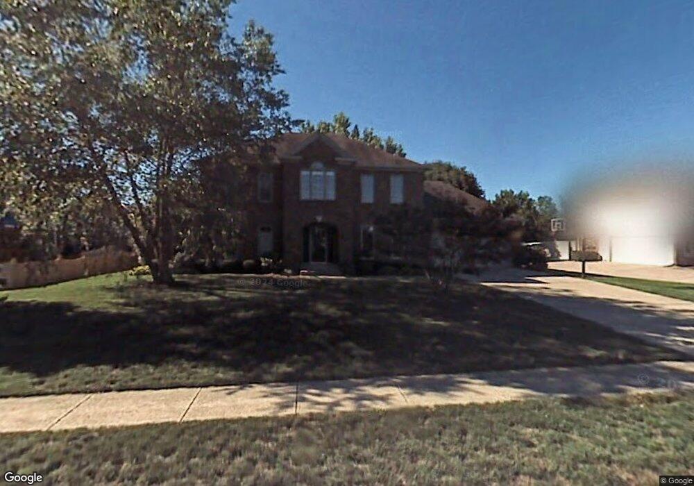
679 Smokey Ln Carmel, IN 46033
East Carmel NeighborhoodEstimated Value: $528,072 - $569,000
4
Beds
3
Baths
2,442
Sq Ft
$222/Sq Ft
Est. Value
About This Home
This home is located at 679 Smokey Ln, Carmel, IN 46033 and is currently estimated at $542,768, approximately $222 per square foot. 679 Smokey Ln is a home located in Hamilton County with nearby schools including Cherry Tree Elementary School, Clay Middle School, and Carmel High School.
Ownership History
Date
Name
Owned For
Owner Type
Purchase Details
Closed on
Sep 14, 2021
Sold by
Stemmock Joseph and Stemmock Kathleen M
Bought by
Stemmock Mary Patricia and Turner Jamison Scott
Current Estimated Value
Home Financials for this Owner
Home Financials are based on the most recent Mortgage that was taken out on this home.
Original Mortgage
$375,250
Interest Rate
2.8%
Mortgage Type
New Conventional
Create a Home Valuation Report for This Property
The Home Valuation Report is an in-depth analysis detailing your home's value as well as a comparison with similar homes in the area
Home Values in the Area
Average Home Value in this Area
Purchase History
| Date | Buyer | Sale Price | Title Company |
|---|---|---|---|
| Stemmock Mary Patricia | $395,000 | Mtc |
Source: Public Records
Mortgage History
| Date | Status | Borrower | Loan Amount |
|---|---|---|---|
| Closed | Stemmock Mary Patricia | $375,250 |
Source: Public Records
Tax History Compared to Growth
Tax History
| Year | Tax Paid | Tax Assessment Tax Assessment Total Assessment is a certain percentage of the fair market value that is determined by local assessors to be the total taxable value of land and additions on the property. | Land | Improvement |
|---|---|---|---|---|
| 2024 | $4,409 | $461,400 | $119,400 | $342,000 |
| 2023 | $4,409 | $412,500 | $95,500 | $317,000 |
| 2022 | $3,512 | $350,000 | $95,500 | $254,500 |
| 2021 | $3,512 | $312,700 | $95,500 | $217,200 |
| 2020 | $3,527 | $312,700 | $95,500 | $217,200 |
| 2019 | $3,500 | $311,700 | $60,200 | $251,500 |
| 2018 | $2,896 | $268,500 | $60,200 | $208,300 |
| 2017 | $2,785 | $260,800 | $60,200 | $200,600 |
| 2016 | $2,667 | $249,900 | $60,200 | $189,700 |
| 2014 | $2,452 | $242,400 | $55,000 | $187,400 |
| 2013 | $2,452 | $238,800 | $55,000 | $183,800 |
Source: Public Records
Map
Nearby Homes
- 1983 Woodbine Ct
- 1910 Spruce Dr
- 4655 Allen Dr
- 1816 Spruce Dr
- 781 Dayton Dr
- 14144 Blue Heron Dr
- 5072 Pelican Place
- 1483 Spruce Dr
- 4950 Tudor Place
- 1504 Dorchester Place
- 1346 Smokey Row Ln
- 14340 Sydney Ln
- 13082 Andover Dr
- 5199 Sue Dr
- 4966 Riley Mews
- 4443 E Main St
- 4952 Jennings Dr
- 14304 Woodfield Dr S
- 128 1st Ct
- 4991 E Main St
- 677 Smokey Ln
- 678 Woodbine Dr E
- 1968 Summersweet Ln
- 1978 Summersweet Ln
- 1956 Summersweet Ln
- 675 Smokey Ln
- 680 Smokey Ln
- 676 Smokey Ln
- 1946 Summersweet Ln
- 677 Woodbine Dr E
- 674 Smokey Ln
- 685 Woodbine Dr E
- 673 Smokey Ln
- 665 Woodbine Dr E
- 1961 Summersweet Ln
- 1975 Summersweet Ln
- 1969 Spruce Dr
- 699 Woodbine Dr E
- 665 Smokey Ln
- 1977 Spruce Dr