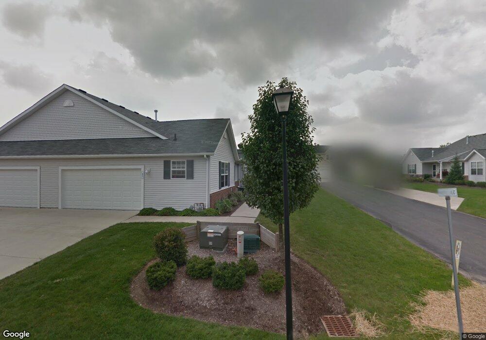
679 Sweetnut Ct Streetsboro, OH 44241
Estimated Value: $224,000 - $259,000
2
Beds
3
Baths
1,170
Sq Ft
$202/Sq Ft
Est. Value
About This Home
This home is located at 679 Sweetnut Ct, Streetsboro, OH 44241 and is currently estimated at $236,457, approximately $202 per square foot. 679 Sweetnut Ct is a home located in Portage County with nearby schools including Henry Defer Intermediate Elementary School, Streetsboro Middle School, and Streetsboro High School.
Ownership History
Date
Name
Owned For
Owner Type
Purchase Details
Closed on
Mar 29, 2019
Sold by
Zukowski Michael J and Zukowski Kimberly S
Bought by
Terbizan John
Current Estimated Value
Home Financials for this Owner
Home Financials are based on the most recent Mortgage that was taken out on this home.
Original Mortgage
$142,373
Outstanding Balance
$128,023
Interest Rate
5.5%
Mortgage Type
FHA
Estimated Equity
$108,434
Purchase Details
Closed on
Apr 8, 2008
Sold by
Riskru Streetsboro Llc
Bought by
Zukowski Michael J and Zukowski Kimberly S
Home Financials for this Owner
Home Financials are based on the most recent Mortgage that was taken out on this home.
Original Mortgage
$130,400
Interest Rate
5.87%
Mortgage Type
Purchase Money Mortgage
Create a Home Valuation Report for This Property
The Home Valuation Report is an in-depth analysis detailing your home's value as well as a comparison with similar homes in the area
Home Values in the Area
Average Home Value in this Area
Purchase History
| Date | Buyer | Sale Price | Title Company |
|---|---|---|---|
| Terbizan John | $145,000 | Title Source Inc | |
| Zukowski Michael J | $163,300 | Erie Title Agency Inc |
Source: Public Records
Mortgage History
| Date | Status | Borrower | Loan Amount |
|---|---|---|---|
| Open | Terbizan John | $142,373 | |
| Previous Owner | Zukowski Michael J | $130,400 |
Source: Public Records
Tax History Compared to Growth
Tax History
| Year | Tax Paid | Tax Assessment Tax Assessment Total Assessment is a certain percentage of the fair market value that is determined by local assessors to be the total taxable value of land and additions on the property. | Land | Improvement |
|---|---|---|---|---|
| 2024 | $3,256 | $78,790 | $6,130 | $72,660 |
| 2023 | $3,073 | $60,870 | $6,130 | $54,740 |
| 2022 | $3,077 | $60,870 | $6,130 | $54,740 |
| 2021 | $3,088 | $60,870 | $6,130 | $54,740 |
| 2020 | $2,994 | $54,150 | $6,130 | $48,020 |
| 2019 | $3,084 | $54,150 | $6,130 | $48,020 |
| 2018 | $2,481 | $50,510 | $6,130 | $44,380 |
| 2017 | $2,535 | $50,510 | $6,130 | $44,380 |
| 2016 | $2,508 | $50,510 | $6,130 | $44,380 |
| 2015 | $2,511 | $50,510 | $6,130 | $44,380 |
| 2014 | $2,533 | $50,510 | $6,130 | $44,380 |
| 2013 | $2,523 | $50,510 | $6,130 | $44,380 |
Source: Public Records
Map
Nearby Homes
- 701 Gold Leaf Ct
- 9381 Hickory Ridge Dr
- 792 State Route 303
- 939 State Route 303
- 9085 Sandpiper Dr
- 9251 Chestnut Ct
- 9247 Chestnut Ct
- 1011 Ashwood Ln
- 8929 Falcon Dr
- 1013 Ashwood Ln
- 9011 Wood Thursh
- 9005 Sandpiper Dr
- 708 Diane Ave
- 572 David Dr
- 9740 Michael Dr
- 1401 Colony Dr
- 1041 Fronek Dr
- 9015 Patriot Dr Unit K4
- 1405 Gillie Dr
- 139 Mccracken Rd
- 681 Sweetnut Ct
- 658 Sweetnut Ct
- 660 Sweetnut Ct
- 660 Sweetnut Ct Unit T-15C
- 671 Sweetnut Ct
- S/L 80 Sweetnut Ct Unit 80
- S/L 77 Sweetnut Ct Unit 77
- S/L 78 Sweetnut Ct Unit 78
- S/L 79 Sweetnut Ct Unit 79
- S/L 15F Sweetnut Ct Unit 15F
- 673 Sweetnut Ct
- 678 Sweetnut Ct
- 670 Sweetnut Ct
- 670 Sweetnut Ct Unit SL 80
- 9385 Hickory Ridge Dr
- 76 Sweetnut Ct Unit 76
- 75 Sweetnut Ct
- 9387 Hickory Ridge Dr
- 680 Sweetnut Ct
- 672 Sweetnut Ct