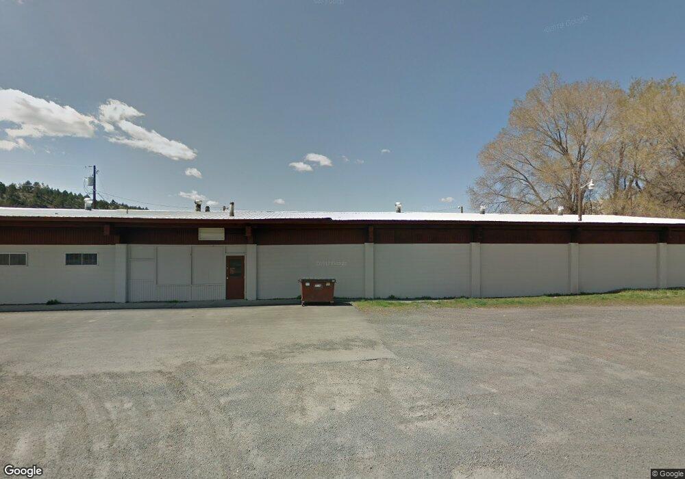
679 W Main St John Day, OR 97845
Estimated Value: $264,037
--
Bed
--
Bath
9,600
Sq Ft
$28/Sq Ft
Est. Value
About This Home
This home is located at 679 W Main St, John Day, OR 97845 and is currently estimated at $264,037, approximately $27 per square foot. 679 W Main St is a home located in Grant County with nearby schools including Grant Union Junior/Senior High School.
Ownership History
Date
Name
Owned For
Owner Type
Purchase Details
Closed on
May 9, 2022
Sold by
Young Russell J
Bought by
Stiner Nick R
Current Estimated Value
Home Financials for this Owner
Home Financials are based on the most recent Mortgage that was taken out on this home.
Original Mortgage
$258,000
Outstanding Balance
$229,147
Interest Rate
4.42%
Mortgage Type
New Conventional
Estimated Equity
$34,890
Purchase Details
Closed on
May 21, 2018
Sold by
Newton Julia L
Bought by
Young Russell J
Create a Home Valuation Report for This Property
The Home Valuation Report is an in-depth analysis detailing your home's value as well as a comparison with similar homes in the area
Home Values in the Area
Average Home Value in this Area
Purchase History
| Date | Buyer | Sale Price | Title Company |
|---|---|---|---|
| Stiner Nick R | $345,000 | None Listed On Document | |
| Young Russell J | $175,000 | None Available |
Source: Public Records
Mortgage History
| Date | Status | Borrower | Loan Amount |
|---|---|---|---|
| Open | Stiner Nick R | $258,000 |
Source: Public Records
Tax History Compared to Growth
Tax History
| Year | Tax Paid | Tax Assessment Tax Assessment Total Assessment is a certain percentage of the fair market value that is determined by local assessors to be the total taxable value of land and additions on the property. | Land | Improvement |
|---|---|---|---|---|
| 2024 | $3,291 | $218,860 | $60,540 | $158,320 |
| 2023 | $3,042 | $202,640 | $56,050 | $146,590 |
| 2022 | $2,734 | $182,540 | $50,490 | $132,050 |
| 2021 | $2,619 | $173,860 | $48,090 | $125,770 |
| 2020 | $7,450 | $172,130 | $47,610 | $124,520 |
| 2019 | $2,775 | $172,130 | $47,610 | $124,520 |
| 2018 | $14,607 | $175,440 | $47,910 | $127,530 |
| 2017 | $2,836 | $175,440 | $47,910 | $127,530 |
| 2016 | $2,839 | $175,440 | $47,910 | $127,530 |
| 2015 | $3,007 | $186,470 | $50,920 | $135,550 |
| 2014 | $3,007 | $186,470 | $50,920 | $135,550 |
| 2013 | $3,017 | $194,240 | $53,040 | $141,200 |
Source: Public Records
Map
Nearby Homes
- 0 W Seventh St
- 314 NW 3rd Ave
- 111 Valley View Dr
- 213 NW 4th Ave
- 227 NW 2nd Ave
- 212 NW 5th Ave
- 410 NW Bridge St
- 212 NW Bridge St
- 434 NW Charolais Heights
- 219 Valley View Dr
- 128 SW Canton St
- 312 N Canyon Blvd
- 310 N Canyon Blvd
- 227 Valley View Dr
- 229 Valley View Dr
- 173 N Canyon Blvd
- 250 NE Dayton St
- 0 SW 4th Ave Unit 24562517
- 0 NE 7th St