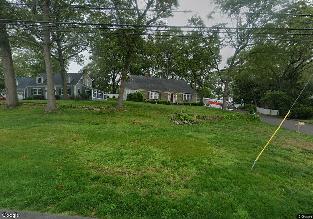
679 W Main St West Haven, CT 06516
West Shore NeighborhoodEstimated Value: $437,196 - $500,000
4
Beds
1
Bath
2,295
Sq Ft
$203/Sq Ft
Est. Value
About This Home
This home is located at 679 W Main St, West Haven, CT 06516 and is currently estimated at $466,549, approximately $203 per square foot. 679 W Main St is a home located in New Haven County with nearby schools including Carrigan 5/6 Intermediate School, Harry M. Bailey Middle School, and West Haven High School.
Ownership History
Date
Name
Owned For
Owner Type
Purchase Details
Closed on
Apr 30, 2004
Sold by
Mastracchio Adam F and Mastracchio Renee
Bought by
Barnes Steven M and Barnes Sandra A
Current Estimated Value
Home Financials for this Owner
Home Financials are based on the most recent Mortgage that was taken out on this home.
Original Mortgage
$224,000
Outstanding Balance
$103,989
Interest Rate
5.36%
Mortgage Type
Purchase Money Mortgage
Estimated Equity
$362,560
Create a Home Valuation Report for This Property
The Home Valuation Report is an in-depth analysis detailing your home's value as well as a comparison with similar homes in the area
Home Values in the Area
Average Home Value in this Area
Purchase History
| Date | Buyer | Sale Price | Title Company |
|---|---|---|---|
| Barnes Steven M | $280,000 | -- | |
| Barnes Steven M | $280,000 | -- |
Source: Public Records
Mortgage History
| Date | Status | Borrower | Loan Amount |
|---|---|---|---|
| Open | Barnes Steven M | $224,000 | |
| Closed | Barnes Steven M | $224,000 |
Source: Public Records
Tax History Compared to Growth
Tax History
| Year | Tax Paid | Tax Assessment Tax Assessment Total Assessment is a certain percentage of the fair market value that is determined by local assessors to be the total taxable value of land and additions on the property. | Land | Improvement |
|---|---|---|---|---|
| 2025 | $9,610 | $278,320 | $79,380 | $198,940 |
| 2024 | $9,177 | $189,140 | $55,020 | $134,120 |
| 2023 | $8,797 | $189,140 | $55,020 | $134,120 |
| 2022 | $8,625 | $189,140 | $55,020 | $134,120 |
| 2021 | $5,566 | $189,140 | $55,020 | $134,120 |
| 2020 | $8,543 | $169,260 | $50,960 | $118,300 |
| 2019 | $5,456 | $169,260 | $50,960 | $118,300 |
| 2018 | $8,167 | $169,260 | $50,960 | $118,300 |
| 2017 | $7,728 | $169,260 | $50,960 | $118,300 |
| 2016 | $7,711 | $169,260 | $50,960 | $118,300 |
| 2015 | $7,482 | $185,430 | $54,320 | $131,110 |
| 2014 | $7,436 | $185,430 | $54,320 | $131,110 |
Source: Public Records
Map
Nearby Homes
- 26 Lawncrest Rd
- 798 W Main St
- 52 Saw Mill Rd
- 166 Saw Mill Rd
- 144 Hilltop Ln
- 56 Edward St
- 80 Phipps Dr
- 105 Church St
- 96 Collis St
- 782 Savin Ave
- 481 Savin Ave
- 79 Claudia Dr Unit 256
- 79 Claudia Dr Unit 358
- 12 Linda St
- 387 W Spring St
- 105 Pheasant Rd
- 159 Leete St
- 79 Linden St
- 227 W Spring St
- 74 Linden St
- 687 W Main St
- 687 W Main St
- 687 W Main St
- 36 Forest Terrace
- 665 W Main St
- 78 Lake Ave
- 10 Forest Terrace
- 82 Lake Ave
- 80 Lake Ave
- 657 W Main St
- 37 Forest Terrace
- 104 Lake Ave
- 690 W Main St
- 701 Main St Aka West Main
- 701 W Main St
- 701 Main Aka West Main St
- 682 W Main St
- 694 W Main St
- 676 W Main St
- 23 Forest Terrace