Estimated Value: $316,923 - $357,000
3
Beds
2
Baths
1,478
Sq Ft
$229/Sq Ft
Est. Value
About This Home
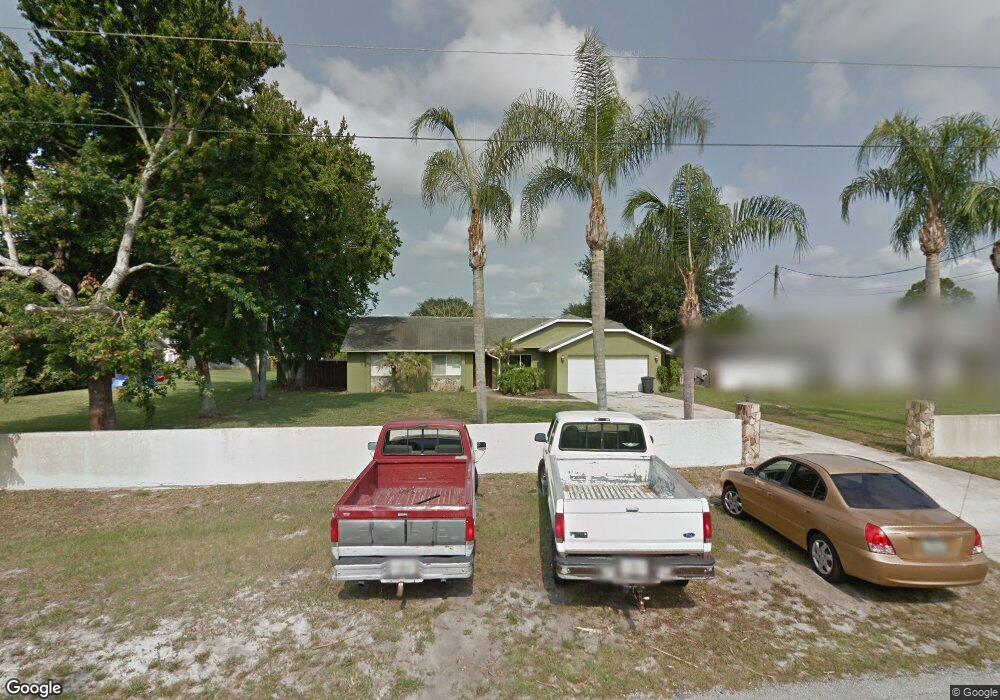
This home is located at 6790 Cedar Ave, Cocoa, FL 32927 and is currently estimated at $337,731, approximately $228 per square foot. 6790 Cedar Ave is a home located in Brevard County with nearby schools including Enterprise Elementary School, Space Coast Junior/Senior High School, and East Atlantic Prep of Brevard County.
Ownership History
Date
Name
Owned For
Owner Type
Purchase Details
Closed on
Jul 27, 1995
Sold by
Giacalone Irene and Newton Sidney E
Bought by
Gordon Anthony I
Current Estimated Value
Home Financials for this Owner
Home Financials are based on the most recent Mortgage that was taken out on this home.
Original Mortgage
$64,400
Interest Rate
7.46%
Create a Home Valuation Report for This Property
The Home Valuation Report is an in-depth analysis detailing your home's value as well as a comparison with similar homes in the area
Home Values in the Area
Average Home Value in this Area
Purchase History
| Date | Buyer | Sale Price | Title Company |
|---|---|---|---|
| Gordon Anthony I | $89,400 | -- |
Source: Public Records
Mortgage History
| Date | Status | Borrower | Loan Amount |
|---|---|---|---|
| Closed | Gordon Anthony I | $64,400 |
Source: Public Records
Tax History
| Year | Tax Paid | Tax Assessment Tax Assessment Total Assessment is a certain percentage of the fair market value that is determined by local assessors to be the total taxable value of land and additions on the property. | Land | Improvement |
|---|---|---|---|---|
| 2025 | $1,330 | $96,050 | -- | -- |
| 2024 | $1,293 | $93,350 | -- | -- |
| 2023 | $1,293 | $90,640 | $0 | $0 |
| 2022 | $1,204 | $88,000 | $0 | $0 |
| 2021 | $1,197 | $85,440 | $0 | $0 |
| 2020 | $1,132 | $84,270 | $0 | $0 |
| 2019 | $1,067 | $82,380 | $0 | $0 |
| 2018 | $1,057 | $80,850 | $0 | $0 |
| 2017 | $1,046 | $79,190 | $0 | $0 |
| 2016 | $1,043 | $77,570 | $26,000 | $51,570 |
| 2015 | $1,051 | $77,040 | $26,000 | $51,040 |
| 2014 | $1,050 | $76,430 | $26,000 | $50,430 |
Source: Public Records
Map
Nearby Homes
- 6815 Bryant Rd
- 6760 Cairo Rd
- 6615 Dock Ave
- 5555 Brandon St
- 7065 Hundred Acre Dr
- 6581 Bancroft Ave
- 6990 Bryant Rd
- 6450 Ember Ave
- 5155 Mayflower St
- 5095 Hogan Place
- 00 Unknown
- 5165 Patricia St
- 6481 La Brea Ave
- 5075 Carter St
- 5080 Mayflower St
- 5715 Fairbridge St
- 7230 Venus Ave
- 6620 Grissom Pkwy
- 6438 Hudson Rd
- 7200 Oakwood Ave
- 6800 Cedar Ave
- 6820 Cedar Ave
- 6760 Cedar Ave
- 6851 Sweet Bay Ct
- 6785 Cedar Ave
- 6853 Sweet Bay Ct
- 6795 Cedar
- 6775 Cedar Ave
- 6855 Sweet Bay Ct
- 6805 Cedar Ave
- 6765 Cedar Ave
- 6840 Cedar Ave
- 6740 Cedar Ave
- 6825 Cedar Ave
- 6857 Sweet Bay Ct
- 6849 Sweet Bay Ct
- 6745 Cedar Ave
- 6780 Bryant Rd
- 6790 Bryant Rd
- 6845 Cedar Ave
Your Personal Tour Guide
Ask me questions while you tour the home.