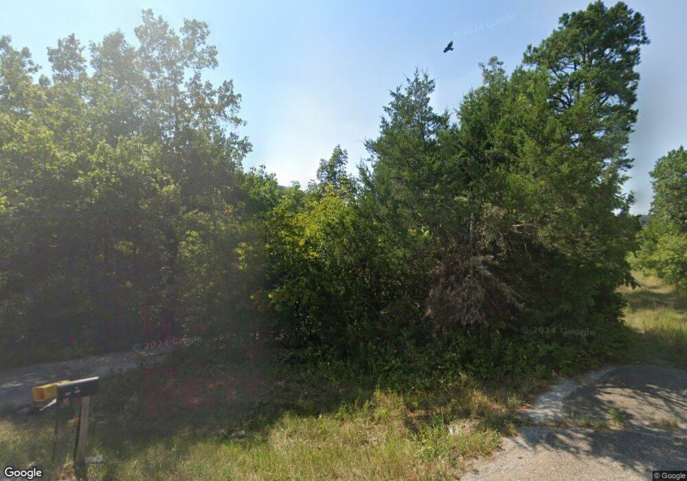
6790 Highway 23 N Eureka Springs, AR 72631
Estimated Value: $127,473 - $552,000
--
Bed
2
Baths
1,360
Sq Ft
$272/Sq Ft
Est. Value
About This Home
This home is located at 6790 Highway 23 N, Eureka Springs, AR 72631 and is currently estimated at $370,368, approximately $272 per square foot. 6790 Highway 23 N is a home located in Carroll County with nearby schools including Eureka Springs Elementary School, Eureka Springs Middle School, and Eureka Springs High School.
Ownership History
Date
Name
Owned For
Owner Type
Purchase Details
Closed on
Mar 29, 2023
Sold by
Hopkins Frederick Thomas and Hopkins Susan Osburn
Bought by
Frederick Thomas Hopkins And Susan Osburn Hop
Current Estimated Value
Purchase Details
Closed on
Mar 10, 2023
Sold by
Putts Jeremy K and Putts Karla
Bought by
Ostrowski Robert A
Purchase Details
Closed on
Jul 17, 1998
Sold by
Forbus
Bought by
Hopkins
Purchase Details
Closed on
Jul 5, 1988
Bought by
Dehart To Forbus Clrg
Create a Home Valuation Report for This Property
The Home Valuation Report is an in-depth analysis detailing your home's value as well as a comparison with similar homes in the area
Home Values in the Area
Average Home Value in this Area
Purchase History
| Date | Buyer | Sale Price | Title Company |
|---|---|---|---|
| Frederick Thomas Hopkins And Susan Osburn Hop | -- | -- | |
| Frederick Thomas Hopkins And Susan Osburn Hop | -- | None Listed On Document | |
| Ostrowski Robert A | $53,000 | -- | |
| Hopkins Frederick | $40,000 | -- | |
| Hopkins | -- | -- | |
| Dehart To Forbus Clrg | $31,000 | -- | |
| Moarc Clrg | -- | -- |
Source: Public Records
Tax History Compared to Growth
Tax History
| Year | Tax Paid | Tax Assessment Tax Assessment Total Assessment is a certain percentage of the fair market value that is determined by local assessors to be the total taxable value of land and additions on the property. | Land | Improvement |
|---|---|---|---|---|
| 2024 | $121 | $20,350 | $4,300 | $16,050 |
| 2023 | $196 | $20,350 | $4,300 | $16,050 |
| 2022 | $246 | $20,350 | $4,300 | $16,050 |
| 2021 | $247 | $12,920 | $4,050 | $8,870 |
| 2020 | $247 | $12,920 | $4,050 | $8,870 |
| 2019 | $265 | $12,920 | $4,050 | $8,870 |
| 2018 | $290 | $12,920 | $4,050 | $8,870 |
| 2017 | $290 | $12,920 | $4,050 | $8,870 |
| 2016 | $272 | $12,920 | $4,050 | $8,870 |
| 2014 | -- | $12,920 | $4,050 | $8,870 |
Source: Public Records
Map
Nearby Homes
- 80 County Road 2560
- Lot 8 Blackfoot Ln
- TBD Cherokee Ln
- Lot 22 Blackfoot Dr
- 8 Blackfoot Dr
- Lot 15 Country Club Dr
- 73 Country Club Dr
- TBD(lot 6) Country Club Dr
- TBD(lot 3) Country Club Dr
- TBD(lot 25) Country Club Dr
- TBD(lot 2) Country Club Dr
- 38 Country Club Dr
- 7 Arapahoe Dr
- Lot 6 & 7 Block 7 Arapahoe Dr
- 0 Ria Ln Unit 1295309
- 53 Arapahoe Dr
- 0 Thunderbird Dr Unit 1319699
- 41 Thunderbird Dr
- 39 Thunderbird Dr
- 35 Thunderbird Dr
- 6980 Highway 23 N
- 6982 Highway 23 N
- 6978 Hwy 23 N
- 6781 Highway 23 N
- 6781 Highway 23 N
- 255 County Road 278
- 20.84 Acres N Highway 23
- 0 Meadow Lark Ln Unit 1040564
- 0 Meadow Lark Ln Unit 1040566
- 457 County Road 278
- 6420 N Hwy 23
- 127 County Road 278
- 260 Meadow Lark Ln
- 259 Meadow Lark Ln
- 57 County Road 278
- 240 County Road 278
- 456 County Road 278
- 0 County Rd 2560 Unit 727568
- 0 County Rd 2560 Unit 722811
- 9 County Road 278
