67905 Cloverdale Rd Sisters, OR 97759
Estimated Value: $1,307,000
7
Beds
8
Baths
4,228
Sq Ft
$309/Sq Ft
Est. Value
About This Home
This home is located at 67905 Cloverdale Rd, Sisters, OR 97759 and is currently priced at $1,307,000, approximately $309 per square foot. 67905 Cloverdale Rd is a home located in Deschutes County with nearby schools including Sisters Elementary School, Sisters Middle School, and Sisters High School.
Ownership History
Date
Name
Owned For
Owner Type
Purchase Details
Closed on
Jun 15, 2018
Sold by
Halousek Neal D and Halousek Bonnie Jacob
Bought by
Halousek Neal Daniel and Halousek Bonnie Jacob
Current Estimated Value
Purchase Details
Closed on
Oct 12, 2017
Sold by
Halousek Neal D and Jacobs Halousek Bonnie
Bought by
Halousek Neal Daniel and Jacobs Halousek Bonnie
Purchase Details
Closed on
Oct 27, 2005
Sold by
Hayden Catherine Faye and Steck Rachel Kinsman
Bought by
Halousek Neal D and Jacobs Halousek Bonnie
Purchase Details
Closed on
Aug 9, 2005
Sold by
Halousek Neal D and Jacobs Halousek Bonnie
Bought by
Halousek Neal D and Jacobs Halousek Bonnie
Purchase Details
Closed on
Dec 13, 2004
Sold by
Glade Meri E
Bought by
Catalyst Farms Inc
Create a Home Valuation Report for This Property
The Home Valuation Report is an in-depth analysis detailing your home's value as well as a comparison with similar homes in the area
Home Values in the Area
Average Home Value in this Area
Purchase History
| Date | Buyer | Sale Price | Title Company |
|---|---|---|---|
| Halousek Neal Daniel | -- | None Available | |
| Halousek Neal Daniel | -- | None Available | |
| Halousek Neal D | -- | -- | |
| Halousek Neal D | -- | First Amer Title Ins Co Or | |
| Catalyst Farms Inc | -- | -- |
Source: Public Records
Tax History Compared to Growth
Tax History
| Year | Tax Paid | Tax Assessment Tax Assessment Total Assessment is a certain percentage of the fair market value that is determined by local assessors to be the total taxable value of land and additions on the property. | Land | Improvement |
|---|---|---|---|---|
| 2024 | $20,797 | $1,406,944 | -- | -- |
| 2023 | $20,201 | $1,366,534 | $0 | $0 |
| 2022 | $17,138 | $1,189,404 | $0 | $0 |
| 2021 | $16,378 | $1,155,334 | $0 | $0 |
| 2020 | $15,536 | $1,155,334 | $0 | $0 |
| 2019 | $15,107 | $1,107,141 | $0 | $0 |
| 2018 | $14,716 | $1,075,021 | $0 | $0 |
| 2017 | $14,207 | $1,043,841 | $0 | $0 |
Source: Public Records
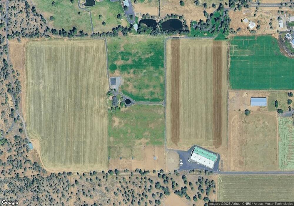
Map
Nearby Homes
- 67775 Cloverdale Rd
- 17500 Forked Horn Rd
- 17415 Kent Rd
- 67439 U S 20
- 67480 Cloverdale Rd
- 67276 Gist Rd
- 16472 Jordan Rd
- 16400 Jordan Rd
- 67205 Bass Ln
- 67216 Gist Rd
- 17515 Ivy Ln
- 68398 George Cyrus Rd Unit 151117
- 17644 Cascade Estates Dr
- 17450 Star Thistle Ln
- 16921 Lady Caroline Dr
- 66985 Rock Island Ln
- 16900 Green Drake Ct
- 17949 Cascade Estates Dr
- 16958 Varco Rd
- 17167 Caddis Ct
- 67955 Cloverdale Rd
- 17045 Farthing Ln
- 67809 Cloverdale Rd
- 68001 Cloverdale Rd
- 17017 Farthing Ln
- 68005 Cloverdale Rd
- 67770 Highway 20
- 16950 Farthing Ln
- 67805 Cloverdale Rd
- 67930 Cloverdale Rd
- 67960 Cloverdale Rd
- 67880 Cloverdale Rd
- 67821 Cloverdale Rd
- 67910 Cloverdale Rd
- 17217 Kent Rd
- 68020 Cloverdale Rd
- 17251 Forked Horn Dr
- 17220 Ivy Ln
- 17234 Kent Rd