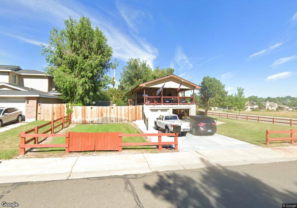
6791 Depew St Arvada, CO 80003
Lamar Heights NeighborhoodEstimated Value: $466,000 - $537,000
2
Beds
3
Baths
960
Sq Ft
$525/Sq Ft
Est. Value
About This Home
This home is located at 6791 Depew St, Arvada, CO 80003 and is currently estimated at $503,945, approximately $524 per square foot. 6791 Depew St is a home located in Jefferson County with nearby schools including Swanson Elementary School, North Arvada Middle School, and Arvada High School.
Ownership History
Date
Name
Owned For
Owner Type
Purchase Details
Closed on
Sep 17, 2020
Sold by
Williams Michael L
Bought by
Williams Michael Lee and Williams Rebecca Ann
Current Estimated Value
Purchase Details
Closed on
Jan 6, 2011
Sold by
Williams Susan M
Bought by
Williams Michael L
Create a Home Valuation Report for This Property
The Home Valuation Report is an in-depth analysis detailing your home's value as well as a comparison with similar homes in the area
Home Values in the Area
Average Home Value in this Area
Purchase History
| Date | Buyer | Sale Price | Title Company |
|---|---|---|---|
| Williams Michael Lee | -- | None Available | |
| Williams Michael L | -- | None Available |
Source: Public Records
Tax History
| Year | Tax Paid | Tax Assessment Tax Assessment Total Assessment is a certain percentage of the fair market value that is determined by local assessors to be the total taxable value of land and additions on the property. | Land | Improvement |
|---|---|---|---|---|
| 2024 | $2,374 | $31,172 | $14,830 | $16,342 |
| 2023 | $2,374 | $31,172 | $14,830 | $16,342 |
| 2022 | $1,957 | $26,936 | $12,683 | $14,253 |
| 2021 | $2,682 | $27,712 | $13,048 | $14,664 |
| 2020 | $2,441 | $25,298 | $8,881 | $16,417 |
| 2019 | $2,408 | $25,298 | $8,881 | $16,417 |
| 2018 | $2,038 | $20,816 | $5,683 | $15,133 |
| 2017 | $1,866 | $20,816 | $5,683 | $15,133 |
| 2016 | $1,669 | $17,545 | $5,645 | $11,900 |
| 2015 | $1,406 | $17,545 | $5,645 | $11,900 |
| 2014 | $1,406 | $13,891 | $4,872 | $9,019 |
Source: Public Records
Map
Nearby Homes
- 6767 Ames St
- 6650 Depew Ct
- 5555 W 69th Ave
- 5244 W 68th Ave Unit 5244
- 5320 W 67th Ave
- 6610 Depew Ct
- 5135 W 68th Ave Unit 1
- 5670 W 71st Ave
- 5720 W 71st Ave
- 6172 W 68th Ave
- 6503 Gray St
- 6404 Benton St
- 6177 W 65th Ave
- 6462 Harlan St
- 6910 Yates St
- 6353 Depew St
- 5549 W 72nd Place
- 6548 Xavier St
- 7074 Yates St
- 6840 Xavier St Unit 3
Your Personal Tour Guide
Ask me questions while you tour the home.