6791 Highway 20 Chadron, NE 69337
Estimated Value: $322,000 - $351,000
4
Beds
2
Baths
1,330
Sq Ft
$252/Sq Ft
Est. Value
About This Home
This home is located at 6791 Highway 20, Chadron, NE 69337 and is currently estimated at $335,419, approximately $252 per square foot. 6791 Highway 20 is a home located in Dawes County with nearby schools including Chadron Primary School, Chadron Intermediate School, and Chadron Middle School.
Ownership History
Date
Name
Owned For
Owner Type
Purchase Details
Closed on
Sep 21, 2015
Sold by
Boggs Dennis M and Boggs Charles
Bought by
Harwood Andrew R
Current Estimated Value
Home Financials for this Owner
Home Financials are based on the most recent Mortgage that was taken out on this home.
Original Mortgage
$140,000
Interest Rate
3.92%
Mortgage Type
Future Advance Clause Open End Mortgage
Create a Home Valuation Report for This Property
The Home Valuation Report is an in-depth analysis detailing your home's value as well as a comparison with similar homes in the area
Home Values in the Area
Average Home Value in this Area
Purchase History
| Date | Buyer | Sale Price | Title Company |
|---|---|---|---|
| Harwood Andrew R | $175,000 | Dawes County Abstract & Titl |
Source: Public Records
Mortgage History
| Date | Status | Borrower | Loan Amount |
|---|---|---|---|
| Closed | Harwood Andrew R | $140,000 |
Source: Public Records
Tax History Compared to Growth
Tax History
| Year | Tax Paid | Tax Assessment Tax Assessment Total Assessment is a certain percentage of the fair market value that is determined by local assessors to be the total taxable value of land and additions on the property. | Land | Improvement |
|---|---|---|---|---|
| 2024 | $2,458 | $237,940 | $40,320 | $197,620 |
| 2023 | $3,076 | $212,445 | $36,000 | $176,445 |
| 2022 | $3,172 | $212,445 | $36,000 | $176,445 |
| 2021 | $2,606 | $170,320 | $23,650 | $146,670 |
| 2020 | $2,732 | $177,450 | $24,640 | $152,810 |
| 2019 | $2,669 | $176,170 | $22,000 | $154,170 |
| 2018 | $2,342 | $155,935 | $19,500 | $136,435 |
| 2017 | $2,330 | $155,935 | $19,500 | $136,435 |
| 2016 | $2,337 | $155,935 | $19,500 | $136,435 |
| 2015 | $2,011 | $136,045 | $19,500 | $116,545 |
| 2013 | $2,034 | $132,540 | $16,000 | $116,540 |
| 2012 | $2,155 | $132,540 | $16,000 | $116,540 |
Source: Public Records
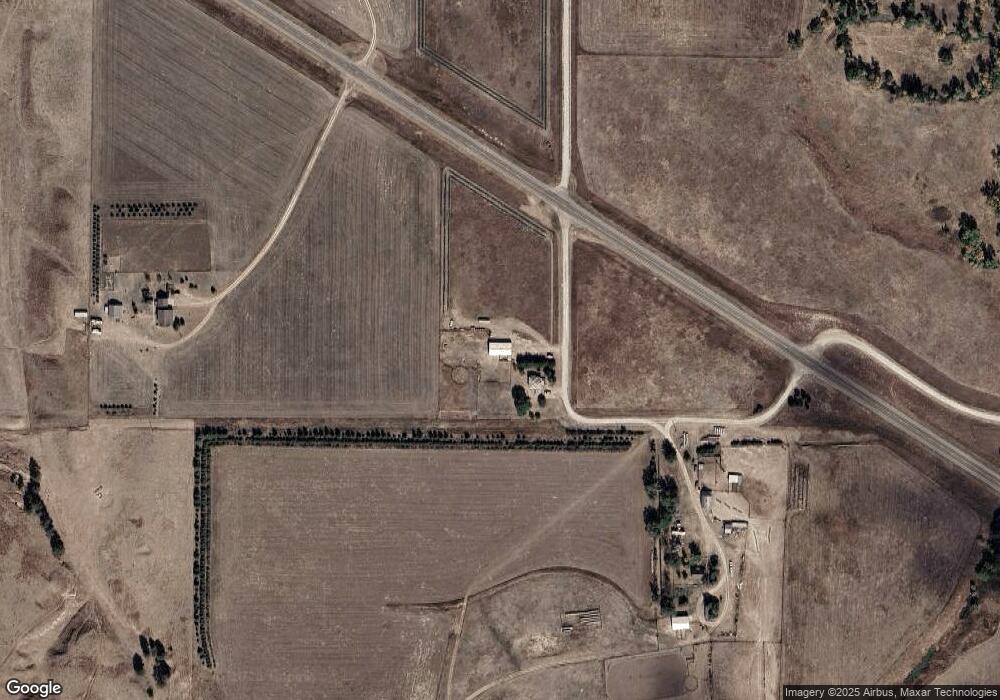
Map
Nearby Homes
- 61.17 + - Acres
- 42.38+/- Acres
- 42.38+/ Acres
- 362-364 Beaver Valley Rd
- 362 Beaver Valley Rd
- 906 E 10th St
- 834 E 9th St
- 809 E 5th St
- 353 Beech St
- 760 Parry Dr
- 187 Milo Rd
- 602 & 604 E 5th St
- Tbd Beaver Valley Rd
- 501 Ann St
- 528 Shelton St
- 926 Bordeaux St
- 230 Shelton St
- TBD Beaver Valley Rd
- 932 Chadron Ave
- 828 Chadron Ave