6791 Peter Rd SE Aumsville, OR 97325
Estimated Value: $683,000 - $833,835
6
Beds
4
Baths
3,432
Sq Ft
$221/Sq Ft
Est. Value
About This Home
This home is located at 6791 Peter Rd SE, Aumsville, OR 97325 and is currently estimated at $758,418, approximately $220 per square foot. 6791 Peter Rd SE is a home with nearby schools including Cascade Junior High School, Cascade Senior High School, and Williamette Valley Baptist School.
Ownership History
Date
Name
Owned For
Owner Type
Purchase Details
Closed on
Dec 27, 2022
Sold by
Ferguson Larry D
Bought by
Maxwell Living Trust
Current Estimated Value
Purchase Details
Closed on
Jan 23, 2004
Sold by
Kent Patricia A
Bought by
Ferguson Larry D and Ferguson Anne L
Home Financials for this Owner
Home Financials are based on the most recent Mortgage that was taken out on this home.
Original Mortgage
$231,000
Interest Rate
5.86%
Mortgage Type
Unknown
Purchase Details
Closed on
Nov 17, 1999
Sold by
Peter Edward R
Bought by
Kent Patricia A
Create a Home Valuation Report for This Property
The Home Valuation Report is an in-depth analysis detailing your home's value as well as a comparison with similar homes in the area
Home Values in the Area
Average Home Value in this Area
Purchase History
| Date | Buyer | Sale Price | Title Company |
|---|---|---|---|
| Maxwell Living Trust | $775,000 | First American Title | |
| Ferguson Larry D | $152,000 | Ticor Title | |
| Kent Patricia A | $60,000 | -- |
Source: Public Records
Mortgage History
| Date | Status | Borrower | Loan Amount |
|---|---|---|---|
| Previous Owner | Ferguson Larry D | $231,000 |
Source: Public Records
Tax History Compared to Growth
Tax History
| Year | Tax Paid | Tax Assessment Tax Assessment Total Assessment is a certain percentage of the fair market value that is determined by local assessors to be the total taxable value of land and additions on the property. | Land | Improvement |
|---|---|---|---|---|
| 2024 | $2,863 | $240,970 | -- | -- |
| 2023 | $2,795 | $233,960 | $0 | $0 |
| 2022 | $2,622 | $227,150 | $0 | $0 |
| 2021 | $2,586 | $220,540 | $0 | $0 |
| 2020 | $2,586 | $214,120 | $0 | $0 |
| 2019 | $2,458 | $207,890 | $0 | $0 |
| 2018 | $2,483 | $0 | $0 | $0 |
| 2017 | $2,410 | $0 | $0 | $0 |
| 2016 | $2,344 | $0 | $0 | $0 |
| 2015 | $2,280 | $0 | $0 | $0 |
| 2014 | $2,221 | $0 | $0 | $0 |
Source: Public Records
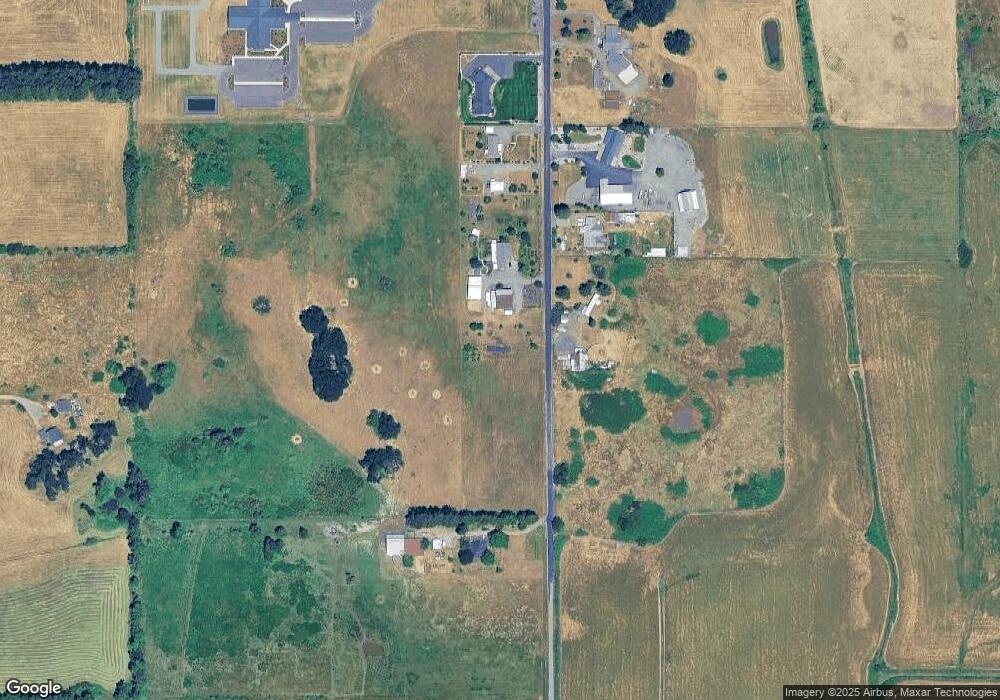
Map
Nearby Homes
- 9965 Shayla St
- 9857 Fox St
- 9920 Puma St
- 196 Lynx Ave
- 0 Oregon 22
- 17489 Oregon 22
- 925 York St
- 560 Maple St
- 809 Abbey (#71) Ln Unit 71
- 129 Carmel (#39) Dr SE Unit 39
- 328 Aspen (#16) Dr Unit 16
- 9933 Panther Ct
- 124 Carmel Dr
- 713 Stafford St SE
- 713 Stafford St SE Unit 50
- 621 Clover Ct
- 890 N 10th Place
- 890 10th Place
- 740 Main St
- 107 N 8th (Next To) St
- 6772 Peter Rd SE
- 6832 Peter Rd SE
- 6672 Peter Rd SE
- 6681 Peter Rd SE
- 6661 Peter Rd SE
- 6581 Peter Rd SE
- 9952 Brownell Dr SE
- 10112 Brownell Dr SE
- 10072 Brownell Dr SE
- 10272 Brownell Dr SE
- 6746 Hays Ln SE
- . Hays Ln SE
- 9972 Brownell Dr SE
- 0 Hays Ln SE
- 6875 Hays Ln SE
- 6625 Hays Ln SE
- 6536 Hays Ln SE
- 6655 Hays Ln SE
- 6745 Hays Ln SE
- 6873 Hays Ln SE