6793 S Chestatee Dahlonega, GA 30533
Estimated Value: $775,000 - $910,297
--
Bed
4
Baths
3,763
Sq Ft
$221/Sq Ft
Est. Value
About This Home
This home is located at 6793 S Chestatee, Dahlonega, GA 30533 and is currently estimated at $831,099, approximately $220 per square foot. 6793 S Chestatee is a home located in Lumpkin County with nearby schools including Lumpkin County High School.
Ownership History
Date
Name
Owned For
Owner Type
Purchase Details
Closed on
Jul 10, 2024
Sold by
Self Bobby D
Bought by
Self Madelyn Ann and Wikle William Chandler
Current Estimated Value
Purchase Details
Closed on
Sep 6, 1995
Bought by
Self Deborah Ann
Create a Home Valuation Report for This Property
The Home Valuation Report is an in-depth analysis detailing your home's value as well as a comparison with similar homes in the area
Home Values in the Area
Average Home Value in this Area
Purchase History
| Date | Buyer | Sale Price | Title Company |
|---|---|---|---|
| Self Madelyn Ann | -- | -- | |
| Self Deborah Ann | -- | -- |
Source: Public Records
Tax History Compared to Growth
Tax History
| Year | Tax Paid | Tax Assessment Tax Assessment Total Assessment is a certain percentage of the fair market value that is determined by local assessors to be the total taxable value of land and additions on the property. | Land | Improvement |
|---|---|---|---|---|
| 2024 | $1,497 | $322,396 | $156,676 | $165,720 |
| 2023 | $1,158 | $300,506 | $142,433 | $158,073 |
| 2022 | $1,367 | $264,515 | $118,695 | $145,820 |
| 2021 | $1,027 | $250,479 | $118,695 | $131,784 |
| 2020 | $981 | $243,330 | $113,740 | $129,590 |
| 2019 | $3,720 | $243,330 | $113,740 | $129,590 |
| 2018 | $3,554 | $229,065 | $113,740 | $115,325 |
| 2017 | $3,534 | $230,553 | $113,741 | $116,812 |
| 2016 | $3,345 | $220,433 | $113,741 | $106,692 |
| 2015 | $3,000 | $220,432 | $113,741 | $106,692 |
| 2014 | $3,000 | $222,804 | $113,741 | $109,064 |
| 2013 | -- | $226,127 | $113,740 | $112,386 |
Source: Public Records
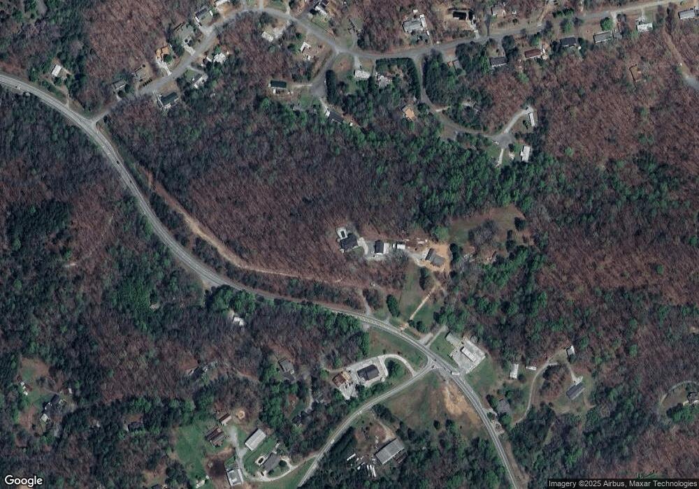
Map
Nearby Homes
- 6439 S Chestatee
- 433 Elliots Ln
- 6038 S Chestatee
- 162 Stoneridge Dr
- 125 Lake Laurel Dr
- 85 Waterloo Dr
- 0 Robinson Rd Unit 10597950
- 0 Robinson Rd Unit 7643549
- 39 E Point Dr
- 0 Long Branch Rd Unit 10271720
- 0 Long Branch Rd Unit 10271266
- 0 Long Branch Rd Unit 7357871
- 00 Long Branch Rd
- 391 Pinewood Place
- 75 Melody Ln
- 5195 S Chestatee
- 459 Gold Ridge Rd
- 58 Rustin Ridge Unit 278
- 42 Rustin Ridge Unit 285
- 6292 Timber Creek Trail
- 0 Brandy Mountain Rd
- 0 Brandy Mountain Rd Unit 7103691
- 0 Brandy Mountain Rd Unit 3222197
- 0 Brandy Mountain Rd Unit 8473803
- 0 Brandy Mountain Rd Unit 8472270
- 0 Brandy Mountain Rd Unit 3789232
- 74 Cornell Dr
- 41 Arrow Ct
- 14 Seven Mile Hill Rd
- 86 Cornell Dr
- 0 Seven Mile Hill Rd
- 0 Seven Mile Hill Rd Unit 2839984
- 120 Rebecca Ct
- 763 Flanders Rd
- 30 Arrow Ct
- 77 Bandy Mountain Rd
- 77 Brandy Mountain Rd
- 809 Flanders Rd
- 128 Rebecca Ct
- 156 Brandy Mountain Rd