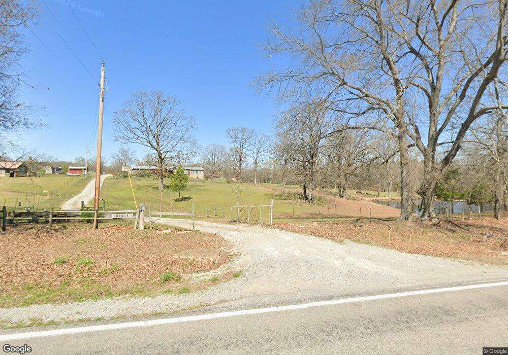
6795 Cord Rd Newark, AR 72562
Estimated Value: $105,952 - $213,000
3
Beds
2
Baths
1,664
Sq Ft
$96/Sq Ft
Est. Value
About This Home
This home is located at 6795 Cord Rd, Newark, AR 72562 and is currently estimated at $160,488, approximately $96 per square foot. 6795 Cord Rd is a home located in Independence County with nearby schools including Cedar Ridge Elementary and Cedar Ridge High School.
Ownership History
Date
Name
Owned For
Owner Type
Purchase Details
Closed on
Mar 16, 2018
Sold by
Stoner Bobby Lynn and Stoner Mildred Irene
Bought by
Davis Heath and Davis Samantha
Current Estimated Value
Home Financials for this Owner
Home Financials are based on the most recent Mortgage that was taken out on this home.
Original Mortgage
$88,874
Outstanding Balance
$63,250
Interest Rate
4.22%
Mortgage Type
Future Advance Clause Open End Mortgage
Estimated Equity
$97,238
Purchase Details
Closed on
Jan 7, 2005
Sold by
Stoner Mildred I
Bought by
Stoner Bob L
Purchase Details
Closed on
Oct 8, 1993
Bought by
Burgess Bobby R and Marsha Burgess
Create a Home Valuation Report for This Property
The Home Valuation Report is an in-depth analysis detailing your home's value as well as a comparison with similar homes in the area
Home Values in the Area
Average Home Value in this Area
Purchase History
| Date | Buyer | Sale Price | Title Company |
|---|---|---|---|
| Davis Heath | $100,000 | None Available | |
| Stoner Bob L | $60,000 | -- | |
| Stoner Bob L | $60,000 | -- | |
| Burgess Bobby R | $22,000 | -- |
Source: Public Records
Mortgage History
| Date | Status | Borrower | Loan Amount |
|---|---|---|---|
| Open | Davis Heath | $88,874 |
Source: Public Records
Tax History Compared to Growth
Tax History
| Year | Tax Paid | Tax Assessment Tax Assessment Total Assessment is a certain percentage of the fair market value that is determined by local assessors to be the total taxable value of land and additions on the property. | Land | Improvement |
|---|---|---|---|---|
| 2025 | $39 | $11,160 | $1,740 | $9,420 |
| 2024 | $104 | $11,160 | $1,740 | $9,420 |
| 2023 | $162 | $11,160 | $1,740 | $9,420 |
| 2022 | $212 | $11,160 | $1,740 | $9,420 |
| 2021 | $212 | $11,160 | $1,740 | $9,420 |
| 2020 | $212 | $11,160 | $1,740 | $9,420 |
| 2019 | $175 | $11,750 | $1,560 | $10,190 |
| 2018 | $200 | $11,750 | $1,560 | $10,190 |
| 2017 | $179 | $11,750 | $1,560 | $10,190 |
| 2016 | $179 | $11,750 | $1,560 | $10,190 |
| 2015 | $177 | $11,750 | $1,560 | $10,190 |
| 2014 | $174 | $11,190 | $1,350 | $9,840 |
Source: Public Records
Map
Nearby Homes
- 6118 Cord Rd
- 1280 Walnut Grove Rd
- 5980 Cord Rd
- 5976 Cord Rd
- 787 Lower Lockhart Rd
- 105 Walden Rd
- 401 Weaver Ln
- 400 Weaver Ln
- 195 Cee Jay Ln
- 6820 White Dr
- 00 Kirby Ln
- 1300 N Locust St
- 749 Molly Ln
- 235 E 10th St
- 1165 Old Camp Rd
- 5 Summerset Ln
- 1000 Mount Hermon
- 6270 White Dr
- Summerset Ln
- 710 Village St