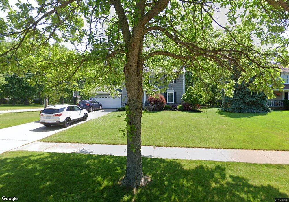
6795 Georgetown Dr Mentor, OH 44060
Estimated Value: $333,000 - $388,000
3
Beds
2
Baths
864
Sq Ft
$411/Sq Ft
Est. Value
About This Home
This home is located at 6795 Georgetown Dr, Mentor, OH 44060 and is currently estimated at $355,094, approximately $410 per square foot. 6795 Georgetown Dr is a home located in Lake County with nearby schools including Bellflower Elementary School, Shore Middle School, and Mentor High School.
Ownership History
Date
Name
Owned For
Owner Type
Purchase Details
Closed on
Nov 15, 1998
Sold by
Salopeck Salopeck Scott M
Bought by
Dispenza Samuel F and Dispenza Kathleen A
Current Estimated Value
Home Financials for this Owner
Home Financials are based on the most recent Mortgage that was taken out on this home.
Original Mortgage
$142,500
Outstanding Balance
$28,877
Interest Rate
6.59%
Estimated Equity
$326,217
Purchase Details
Closed on
Sep 20, 1993
Bought by
Salopeck Scott M
Create a Home Valuation Report for This Property
The Home Valuation Report is an in-depth analysis detailing your home's value as well as a comparison with similar homes in the area
Home Values in the Area
Average Home Value in this Area
Purchase History
| Date | Buyer | Sale Price | Title Company |
|---|---|---|---|
| Dispenza Samuel F | $162,500 | Main Title Agency Inc | |
| Salopeck Scott M | $142,000 | -- |
Source: Public Records
Mortgage History
| Date | Status | Borrower | Loan Amount |
|---|---|---|---|
| Open | Dispenza Samuel F | $142,500 |
Source: Public Records
Tax History
| Year | Tax Paid | Tax Assessment Tax Assessment Total Assessment is a certain percentage of the fair market value that is determined by local assessors to be the total taxable value of land and additions on the property. | Land | Improvement |
|---|---|---|---|---|
| 2025 | -- | $110,010 | $23,290 | $86,720 |
| 2024 | -- | $110,010 | $23,290 | $86,720 |
| 2023 | $9,576 | $92,160 | $19,080 | $73,080 |
| 2022 | $4,355 | $92,160 | $19,080 | $73,080 |
| 2021 | $4,506 | $92,160 | $19,080 | $73,080 |
| 2020 | $4,368 | $78,100 | $16,170 | $61,930 |
| 2019 | $4,217 | $78,100 | $16,170 | $61,930 |
| 2018 | $3,762 | $59,140 | $18,570 | $40,570 |
| 2017 | $3,342 | $59,140 | $18,570 | $40,570 |
| 2016 | $3,320 | $59,140 | $18,570 | $40,570 |
| 2015 | $2,963 | $59,140 | $18,570 | $40,570 |
| 2014 | $2,909 | $57,210 | $18,570 | $38,640 |
| 2013 | $2,912 | $57,210 | $18,570 | $38,640 |
Source: Public Records
Map
Nearby Homes
- 7772 Barnaby Ln
- 7506 Jeremy Ave
- 7109 W Jefferson Dr
- 7654 Ohio St
- 7101 Reynolds Rd
- 6443 Chase Dr
- 7391 Willow Run Dr
- 7987 Carriage Cir
- 7981 Carriage Cir Unit B
- 7415 N Chestnut Commons Dr
- 7403 N Chestnut Commons Dr Unit 7J
- 8011 Colonial Dr Unit C
- 6857 Beacon Dr Unit 63-B
- 6304 Meadowbrook Dr
- 8140 Independence Dr Unit B
- 7507 Essex Dr
- 6436 Seneca Trail
- 6239 Dunbar Dr
- 1139 Cherokee Trail
- 6595 Devonshire Ct
- 6805 Georgetown Dr
- 7604 Bellflower Rd
- 6815 Georgetown Dr
- 6790 Georgetown Dr
- 7608 Bellflower Rd
- 6800 Georgetown Dr
- 6825 Georgetown Dr
- 6806 Sutherland Ct
- 6810 Georgetown Dr
- 6808 Sutherland Ct
- 6835 Georgetown Dr
- 6820 Georgetown Dr
- 7556 Bellflower Rd
- 6801 Sutherland Ct
- 6810 Sutherland Ct
- 6830 Georgetown Dr
- 6803 Sutherland Ct
- 6845 Georgetown Dr
- 6805 Sutherland Ct
- 6840 Georgetown Dr
Your Personal Tour Guide
Ask me questions while you tour the home.