6795 Red Day Rd Martinsville, IN 46151
Estimated Value: $270,000 - $390,000
4
Beds
2
Baths
1,562
Sq Ft
$204/Sq Ft
Est. Value
About This Home
This home is located at 6795 Red Day Rd, Martinsville, IN 46151 and is currently estimated at $318,093, approximately $203 per square foot. 6795 Red Day Rd is a home located in Morgan County with nearby schools including Martinsville High School.
Ownership History
Date
Name
Owned For
Owner Type
Purchase Details
Closed on
May 14, 2018
Sold by
Logan Mary Beth and Cole Mary Beth
Bought by
Cole Timothy Dale
Current Estimated Value
Home Financials for this Owner
Home Financials are based on the most recent Mortgage that was taken out on this home.
Original Mortgage
$75,000
Outstanding Balance
$44,436
Interest Rate
4.4%
Mortgage Type
New Conventional
Estimated Equity
$273,657
Purchase Details
Closed on
Nov 2, 2006
Sold by
Hicks Jeffrey D
Bought by
Cole Tim
Create a Home Valuation Report for This Property
The Home Valuation Report is an in-depth analysis detailing your home's value as well as a comparison with similar homes in the area
Home Values in the Area
Average Home Value in this Area
Purchase History
| Date | Buyer | Sale Price | Title Company |
|---|---|---|---|
| Cole Timothy Dale | -- | None Available | |
| Cole Tim | -- | -- |
Source: Public Records
Mortgage History
| Date | Status | Borrower | Loan Amount |
|---|---|---|---|
| Open | Cole Timothy Dale | $75,000 |
Source: Public Records
Tax History Compared to Growth
Tax History
| Year | Tax Paid | Tax Assessment Tax Assessment Total Assessment is a certain percentage of the fair market value that is determined by local assessors to be the total taxable value of land and additions on the property. | Land | Improvement |
|---|---|---|---|---|
| 2024 | $1,032 | $210,500 | $54,800 | $155,700 |
| 2023 | $931 | $202,500 | $54,800 | $147,700 |
| 2022 | $840 | $193,200 | $54,000 | $139,200 |
| 2021 | $609 | $158,300 | $41,300 | $117,000 |
| 2020 | $540 | $150,100 | $34,900 | $115,200 |
| 2019 | $526 | $139,600 | $34,900 | $104,700 |
| 2018 | $397 | $122,300 | $34,900 | $87,400 |
| 2017 | $390 | $121,400 | $34,900 | $86,500 |
| 2016 | $370 | $113,700 | $34,900 | $78,800 |
| 2014 | $287 | $113,800 | $34,900 | $78,900 |
| 2013 | $287 | $119,300 | $34,900 | $84,400 |
Source: Public Records
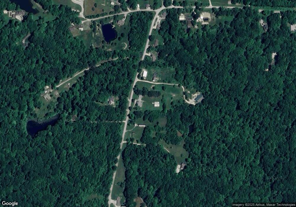
Map
Nearby Homes
- 6150 Red Day Rd
- Lot 5 Goat Hollow Estates
- 0 Goat Hollow Estates Lot 6
- Lot 2 Goat Hollow Estates Rd
- 0 Goat Hollow Estates Lot 4
- 0 Goat Hollow Lot 4
- 0 Goat Hollow Estate Lot 1
- 8548 N Observatory Ln
- 8190 Beech Grove Rd
- 7247 Bethany Blvd
- 86 W Bunkerhill Rd
- 2 Lake Hart
- 326 Mcclure Blvd
- 50 Kings Ct
- 9221 N Stanley Dr
- 39 Lake Hart
- 7591 - 7593 N Old State Road 67
- 7591-7593 N Old State Road 67
- 28 Rohn Rd
- 107 S Main St
- 6815 Red Day Rd
- 6735 Red Day Rd
- 6750 Red Day Rd
- 6825 Red Day Rd
- 6915 Red Day Rd
- 7045 Red Day Rd
- 6740 Red Day Rd
- 7022 Red Day Rd
- 7155 Red Day Rd
- 6780 Red Day Rd
- 7205 Red Day Rd
- 7010 Red Day Rd
- 6695 Red Day Rd
- 7015 Red Day Rd
- 6992 Red Day Rd
- 6990 Red Day Rd
- 7040 Red Day Rd
- 7000 Red Day Rd
- 6970 Red Day Rd
- 7156 Red Day Rd