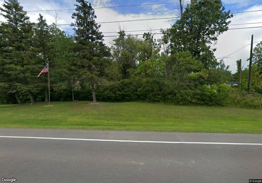
6797 E Canal Rd Lockport, NY 14094
Estimated Value: $306,000 - $335,626
3
Beds
2
Baths
1,848
Sq Ft
$175/Sq Ft
Est. Value
About This Home
This home is located at 6797 E Canal Rd, Lockport, NY 14094 and is currently estimated at $323,657, approximately $175 per square foot. 6797 E Canal Rd is a home located in Niagara County with nearby schools including Regan Intermediate School, Fricano Primary School, and Starpoint Middle School.
Ownership History
Date
Name
Owned For
Owner Type
Purchase Details
Closed on
Oct 28, 2024
Sold by
Starr Matthew J
Bought by
Starr Matthew J and Starr Veronica M
Current Estimated Value
Purchase Details
Closed on
Oct 19, 2010
Sold by
Johnson Daniel and Johnson Veronica
Bought by
Starr Matthew J
Home Financials for this Owner
Home Financials are based on the most recent Mortgage that was taken out on this home.
Original Mortgage
$115,000
Interest Rate
3.87%
Mortgage Type
New Conventional
Create a Home Valuation Report for This Property
The Home Valuation Report is an in-depth analysis detailing your home's value as well as a comparison with similar homes in the area
Home Values in the Area
Average Home Value in this Area
Purchase History
| Date | Buyer | Sale Price | Title Company |
|---|---|---|---|
| Starr Matthew J | -- | None Listed On Document | |
| Starr Matthew J | $145,000 | None Available |
Source: Public Records
Mortgage History
| Date | Status | Borrower | Loan Amount |
|---|---|---|---|
| Previous Owner | Starr Matthew J | $115,000 |
Source: Public Records
Tax History Compared to Growth
Tax History
| Year | Tax Paid | Tax Assessment Tax Assessment Total Assessment is a certain percentage of the fair market value that is determined by local assessors to be the total taxable value of land and additions on the property. | Land | Improvement |
|---|---|---|---|---|
| 2024 | $4,914 | $128,800 | $25,200 | $103,600 |
| 2023 | $5,027 | $128,800 | $25,200 | $103,600 |
| 2022 | $4,909 | $128,800 | $25,200 | $103,600 |
| 2021 | $4,980 | $128,800 | $25,200 | $103,600 |
| 2020 | $4,201 | $128,800 | $25,200 | $103,600 |
| 2019 | $3,168 | $128,800 | $25,200 | $103,600 |
| 2018 | $3,300 | $128,800 | $25,200 | $103,600 |
| 2017 | $3,168 | $128,800 | $25,200 | $103,600 |
| 2016 | $3,098 | $128,800 | $25,200 | $103,600 |
| 2015 | -- | $128,800 | $25,200 | $103,600 |
| 2014 | -- | $128,800 | $25,200 | $103,600 |
Source: Public Records
Map
Nearby Homes
- 5821 Dunnigan Rd
- 3781 Tonawanda Creek Rd
- 5804 Tonawanda Creek Rd
- 6964 Creekview Dr
- 7023 Iroquois Dr
- 3150 Tonawanda Creek Rd
- 5427 Mapleton Rd
- 1325 New Rd
- 3780 Tonawanda Creek Rd
- 5247 Mapleton Rd
- 5275 Tonawanda Creek Rd
- 6724 Campbell Blvd
- 8375 Transit Rd
- 6940 Bear Ridge Rd
- 1289 Norwood Dr
- 6543 Emily Ln
- 1227 Parkwood Dr
- 34 Alexander Pkwy
- 1045 Fernwood Dr
- 1232 Maplewood Dr Unit 1232
- 6811 E Canal Rd
- 6851 E Canal Rd
- 5662 Dunnigan Rd
- 5664 Dunnigan Rd
- 5676 Dunnigan Rd
- 5682 Dunnigan Rd
- 5652 Dunnigan Rd
- 5690 Dunnigan Rd
- 5694 Dunnigan Rd
- 6853 E Canal Rd
- 5710 Dunnigan Rd
- 5665 Dunnigan Rd
- 5698 Dunnigan Rd
- 5706 Dunnigan Rd
- 5685 Dunnigan Rd
- 5639 Dunnigan Rd
- 5691 Dunnigan Rd
- 5695 Dunnigan Rd
- 6861 E Canal Rd
- 5699 Dunnigan Rd
