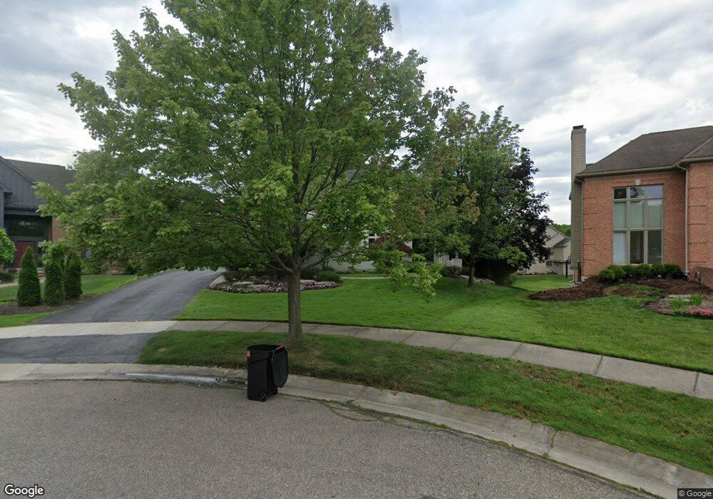
6797 Shadowood Dr West Bloomfield, MI 48322
Estimated Value: $712,000 - $1,081,000
4
Beds
5
Baths
4,057
Sq Ft
$217/Sq Ft
Est. Value
About This Home
This home is located at 6797 Shadowood Dr, West Bloomfield, MI 48322 and is currently estimated at $880,414, approximately $217 per square foot. 6797 Shadowood Dr is a home located in Oakland County with nearby schools including Sheiko Elementary School, West Bloomfield Middle School, and Maria Montessori Center.
Ownership History
Date
Name
Owned For
Owner Type
Purchase Details
Closed on
Jan 8, 2017
Sold by
Piper Michael and Piper Rhonda
Bought by
Piper Michael and Piper Rhonda
Current Estimated Value
Purchase Details
Closed on
Dec 20, 2000
Sold by
Suburban Communities
Bought by
Brown Rhonda S
Create a Home Valuation Report for This Property
The Home Valuation Report is an in-depth analysis detailing your home's value as well as a comparison with similar homes in the area
Home Values in the Area
Average Home Value in this Area
Purchase History
| Date | Buyer | Sale Price | Title Company |
|---|---|---|---|
| Piper Michael | -- | None Available | |
| Brown Rhonda S | $663,968 | -- | |
| Suburban Communities | -- | -- |
Source: Public Records
Tax History Compared to Growth
Tax History
| Year | Tax Paid | Tax Assessment Tax Assessment Total Assessment is a certain percentage of the fair market value that is determined by local assessors to be the total taxable value of land and additions on the property. | Land | Improvement |
|---|---|---|---|---|
| 2024 | $6,556 | $345,330 | $0 | $0 |
| 2022 | $6,277 | $329,060 | $30,850 | $298,210 |
| 2021 | $9,563 | $303,780 | $0 | $0 |
| 2020 | $5,904 | $284,100 | $30,850 | $253,250 |
| 2018 | $8,827 | $304,640 | $30,850 | $273,790 |
| 2015 | -- | $246,080 | $0 | $0 |
| 2014 | -- | $227,110 | $0 | $0 |
| 2011 | -- | $208,460 | $0 | $0 |
Source: Public Records
Map
Nearby Homes
- 6607 Westbrooke Ct
- 23617 Trailview Dr Unit 29
- 23601 Trailview Dr Unit 37
- 6783 Burtonwood Dr
- 6684 Stonebridge E
- 6880 Burtonwood Dr
- 7277 Simsbury Dr
- 7288 Simsbury Dr Unit 24
- 7345 Verona Dr
- 5106 Rock Run
- 5216 Brett Ct Unit 53
- 6906 Pebblecreek Woods Dr
- 6904 Pebble Park Cir
- 6323 Potomac Cir Unit 22
- 5353 Wright Way W
- 7118 Pebble Park Dr
- 7663 Danbury Cir
- 7273 Creeks Bend Ct Unit 88
- 7159 Creeks Crossing Unit 47
- 7208 Creeks Bend Dr Unit 77
- 6811 Shadowood Dr
- 6783 Shadowood Dr
- 6839 Brook Hollow Ct
- 6853 Brook Hollow Ct
- 6825 Shadowood Dr
- 6769 Shadowood Dr Unit 20
- 6755 Shadowood Dr Unit 19
- 6867 Brook Hollow Ct
- 6741 Shadowood Dr
- 6727 Shadowood Dr
- 6881 Brook Hollow Ct Unit 48
- 5201 Beechtree Trail
- 6713 Shadowood Dr
- 6828 Brook Hollow Ct
- 6814 Brook Hollow Ct
- 6870 Brook Hollow Ct
- 5215 Beechtree Trail
- 6895 Brook Hollow Ct
- 5057 Karachi St
- 6716 Shadowood Dr