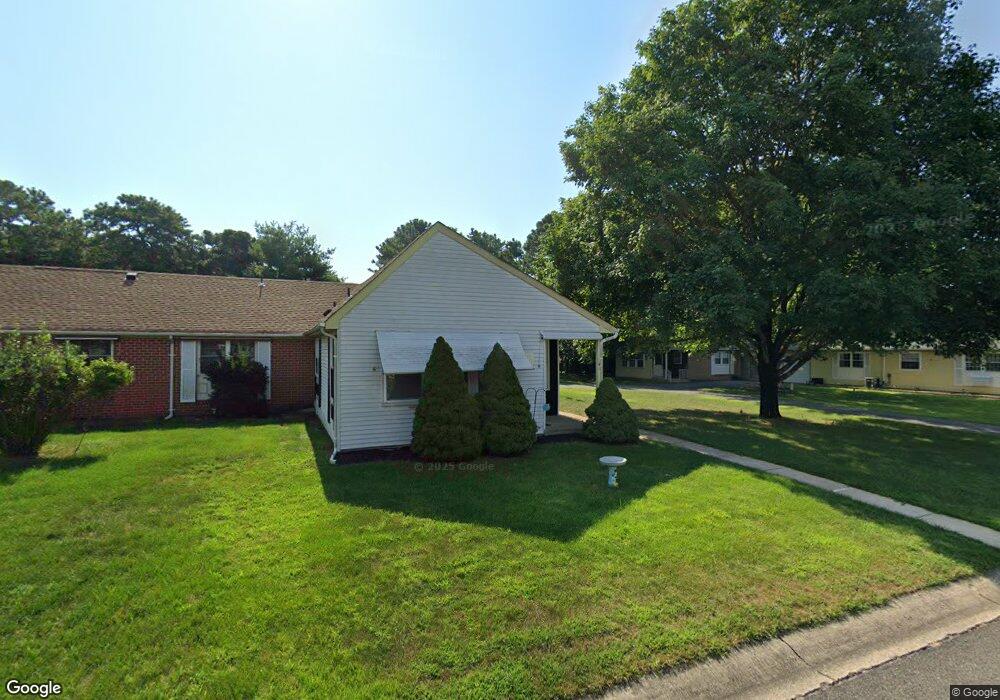
67B Sunset Rd Whiting, NJ 08759
Estimated Value: $379,000 - $425,464
2
Beds
2
Baths
1,191
Sq Ft
$344/Sq Ft
Est. Value
About This Home
This home is located at 67B Sunset Rd, Whiting, NJ 08759 and is currently estimated at $409,116, approximately $343 per square foot. 67B Sunset Rd is a home located in Ocean County with nearby schools including Manchester Township High School.
Ownership History
Date
Name
Owned For
Owner Type
Purchase Details
Closed on
Oct 11, 2024
Sold by
Taps Eda T Treumuth and Treumuth Eda T
Bought by
Dgf 4-11 Trust and Brustowsky
Current Estimated Value
Purchase Details
Closed on
Aug 13, 1998
Sold by
Green Charles F
Bought by
Clarke Raymond N
Home Financials for this Owner
Home Financials are based on the most recent Mortgage that was taken out on this home.
Original Mortgage
$32,000
Interest Rate
6.94%
Create a Home Valuation Report for This Property
The Home Valuation Report is an in-depth analysis detailing your home's value as well as a comparison with similar homes in the area
Home Values in the Area
Average Home Value in this Area
Purchase History
| Date | Buyer | Sale Price | Title Company |
|---|---|---|---|
| Dgf 4-11 Trust | $362,500 | Wellington Abstract | |
| Dgf 4-11 Trust | $362,500 | Wellington Abstract | |
| Clarke Raymond N | $40,000 | First American Title Ins Co |
Source: Public Records
Mortgage History
| Date | Status | Borrower | Loan Amount |
|---|---|---|---|
| Previous Owner | Clarke Raymond N | $32,000 |
Source: Public Records
Tax History
| Year | Tax Paid | Tax Assessment Tax Assessment Total Assessment is a certain percentage of the fair market value that is determined by local assessors to be the total taxable value of land and additions on the property. | Land | Improvement |
|---|---|---|---|---|
| 2025 | $5,606 | $216,700 | $110,000 | $106,700 |
| 2024 | $1,358 | $216,700 | $110,000 | $106,700 |
| 2023 | $1,291 | $58,300 | $10,300 | $48,000 |
| 2022 | $1,291 | $58,300 | $10,300 | $48,000 |
| 2021 | $1,263 | $58,300 | $10,300 | $48,000 |
| 2020 | $1,230 | $58,300 | $10,300 | $48,000 |
| 2019 | $1,052 | $41,000 | $10,300 | $30,700 |
| 2018 | $1,048 | $41,000 | $10,300 | $30,700 |
| 2017 | $1,052 | $41,000 | $10,300 | $30,700 |
| 2016 | $1,039 | $41,000 | $10,300 | $30,700 |
| 2015 | $1,020 | $41,000 | $10,300 | $30,700 |
| 2014 | $999 | $41,000 | $10,300 | $30,700 |
Source: Public Records
Map
Nearby Homes
- 69D Sunset Rd Unit 60
- 69 Sunset Rd Unit 60
- 8 Abbey Ln
- 30 Easton Dr Unit B
- 65A Sunset Rd Unit 60
- 4 Stonybrook Ct Unit 60
- 29B Easton Dr
- 6B Ardmore St
- 1B Greenwood Ln Unit B
- 1A Graystone Place
- 51A Sunset Rd
- 12C Easton Dr
- 5B Greenwood Ln Unit 62
- 7B Greenwood Ln Unit 62
- 111 Sunset Rd Unit 60
- 1 Quincy Dr Unit D
- 4 Quincy Dr Unit D
- 19 Dartmouth St
- 6A Winthrop Place
- 6 Holyoke Ct
- 67 Sunset Rd Unit D
- 69A Sunset Rd
- 69A Sunset Rd Unit 60
- 67C Sunset Rd
- 67A Sunset Rd
- 69 Sunset Rd Unit D
- 69D Sunset Rd
- 67D Sunset Rd
- 60A Sunset Rd
- 62B Sunset Rd
- 60B Sunset Rd
- 2C Stonybrook Rd
- 69B Sunset Rd
- 62A Sunset Rd
- 2D Stonybrook Rd
- 58A Sunset Rd
- 69C Sunset Rd
- 64B Sunset Rd
- 5 Abbey Ln
- 5 Abbey Ln Unit 108
Your Personal Tour Guide
Ask me questions while you tour the home.