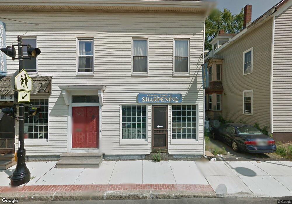
67R Bridge St Beverly, MA 01915
Ryal Side NeighborhoodEstimated Value: $496,000 - $679,000
2
Beds
1
Bath
970
Sq Ft
$599/Sq Ft
Est. Value
About This Home
This home is located at 67R Bridge St, Beverly, MA 01915 and is currently estimated at $581,489, approximately $599 per square foot. 67R Bridge St is a home located in Essex County with nearby schools including Beverly High School, Mrs Alexander's School, and The Saints Academy.
Ownership History
Date
Name
Owned For
Owner Type
Purchase Details
Closed on
Jul 27, 2022
Sold by
Nolan David Z and Kramer Suzanne
Bought by
Nolan David Z and Kramer Suzanne
Current Estimated Value
Purchase Details
Closed on
Dec 1, 2000
Sold by
Knight Diane L and Knight Joan S
Bought by
Nolan David Z and Kramer Suzanne
Create a Home Valuation Report for This Property
The Home Valuation Report is an in-depth analysis detailing your home's value as well as a comparison with similar homes in the area
Home Values in the Area
Average Home Value in this Area
Purchase History
| Date | Buyer | Sale Price | Title Company |
|---|---|---|---|
| Nolan David Z | -- | None Available | |
| Nolan David Z | $180,000 | -- |
Source: Public Records
Mortgage History
| Date | Status | Borrower | Loan Amount |
|---|---|---|---|
| Previous Owner | Nolan David Z | $152,000 | |
| Previous Owner | Nolan David Z | $162,000 | |
| Previous Owner | Nolan David Z | $40,000 |
Source: Public Records
Tax History
| Year | Tax Paid | Tax Assessment Tax Assessment Total Assessment is a certain percentage of the fair market value that is determined by local assessors to be the total taxable value of land and additions on the property. | Land | Improvement |
|---|---|---|---|---|
| 2025 | $5,227 | $475,600 | $328,600 | $147,000 |
| 2024 | $4,965 | $442,100 | $295,100 | $147,000 |
| 2023 | $4,751 | $421,900 | $274,900 | $147,000 |
| 2022 | $4,543 | $373,300 | $226,300 | $147,000 |
| 2021 | $4,286 | $337,500 | $199,500 | $138,000 |
| 2020 | $4,136 | $322,400 | $184,400 | $138,000 |
| 2019 | $4,020 | $304,300 | $171,000 | $133,300 |
Source: Public Records
Map
Nearby Homes
- 23 Winthrop Ave Unit 1
- 27 Folger Ave
- 123 Livingstone Ave
- 16 Crescent Ave
- 13 Giles Ave Unit 2
- 261 Rantoul St
- 348 Rantoul St Unit 202
- 12 Adams Ave
- 12 Summit Ave Unit 4
- The Cabot Collection
- 412 Cabot St
- 508 Elliott St
- 9 Swan St Unit 3
- 9 Swan St Unit 2
- 50 Balch St Unit 205
- 14 Harrison Ave
- 23 1/2 Lovett St
- 28 Columbus Ave Unit 4
- 28 Columbus Ave Unit 3
- 7 Lothrop St
- 67 Bridge St Unit 3
- 67 Bridge St Unit 2
- 67 Bridge St Unit 1
- 69 Bridge St
- 65 Bridge St
- 65 Bridge St Unit A
- 65 Bridge St Unit 65,left
- 55 Rowell Ave
- 63 Bridge St
- 47 Livingstone Ave
- 49 Livingstone Ave
- 43 Rowell Ave
- 66 Bridge St
- 64 Bridge St
- 43 Livingstone Ave
- 52 Rowell Ave
- 66C Bridge St
- 50 Rowell Ave
- 77 Bridge St
- 2 Ashton St