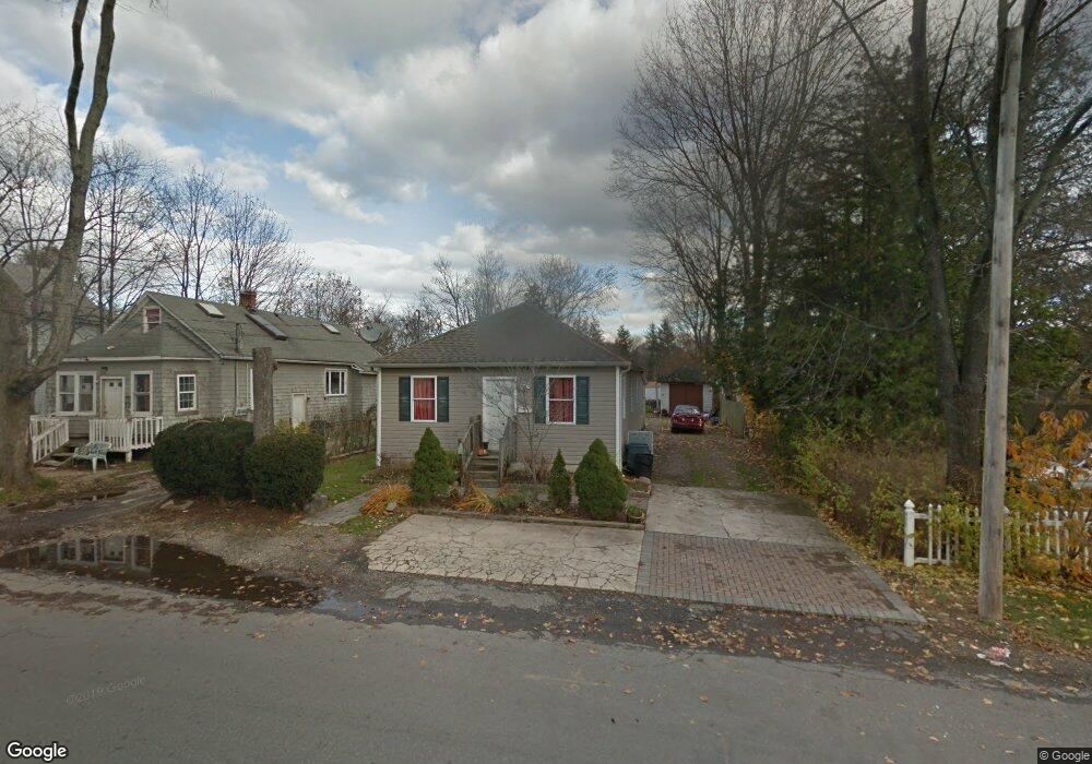
68 4th Ave Huntington Station, NY 11746
Estimated Value: $539,000 - $617,000
--
Bed
--
Bath
--
Sq Ft
0.25
Acres
About This Home
This home is located at 68 4th Ave, Huntington Station, NY 11746 and is currently estimated at $581,548. 68 4th Ave is a home located in Suffolk County with nearby schools including Jefferson Primary School, Woodhull Intermediate School, and J Taylor Finley Middle School.
Ownership History
Date
Name
Owned For
Owner Type
Purchase Details
Closed on
Oct 18, 2002
Sold by
Cassar Christopher J and Bouvin Jason
Bought by
Cuadra Cristina
Current Estimated Value
Home Financials for this Owner
Home Financials are based on the most recent Mortgage that was taken out on this home.
Original Mortgage
$217,550
Outstanding Balance
$90,606
Interest Rate
6.07%
Estimated Equity
$490,942
Purchase Details
Closed on
Oct 30, 2001
Sold by
Erickson Olof K
Bought by
Cassar Christopher J and Bouvin Jason
Home Financials for this Owner
Home Financials are based on the most recent Mortgage that was taken out on this home.
Original Mortgage
$142,500
Interest Rate
6.77%
Create a Home Valuation Report for This Property
The Home Valuation Report is an in-depth analysis detailing your home's value as well as a comparison with similar homes in the area
Home Values in the Area
Average Home Value in this Area
Purchase History
| Date | Buyer | Sale Price | Title Company |
|---|---|---|---|
| Cuadra Cristina | $229,000 | First American Title Ins Co | |
| Cassar Christopher J | $150,000 | -- |
Source: Public Records
Mortgage History
| Date | Status | Borrower | Loan Amount |
|---|---|---|---|
| Open | Cuadra Cristina | $217,550 | |
| Previous Owner | Cassar Christopher J | $142,500 |
Source: Public Records
Tax History Compared to Growth
Tax History
| Year | Tax Paid | Tax Assessment Tax Assessment Total Assessment is a certain percentage of the fair market value that is determined by local assessors to be the total taxable value of land and additions on the property. | Land | Improvement |
|---|---|---|---|---|
| 2024 | $4,916 | $1,825 | $300 | $1,525 |
| 2023 | $2,458 | $1,825 | $300 | $1,525 |
| 2022 | $6,152 | $1,825 | $300 | $1,525 |
| 2021 | $6,063 | $1,825 | $300 | $1,525 |
| 2020 | $5,977 | $1,825 | $300 | $1,525 |
| 2019 | $11,953 | $0 | $0 | $0 |
| 2018 | $5,569 | $1,825 | $300 | $1,525 |
| 2017 | $5,569 | $1,825 | $300 | $1,525 |
| 2016 | $5,500 | $1,825 | $300 | $1,525 |
| 2015 | -- | $1,825 | $300 | $1,525 |
| 2014 | -- | $1,825 | $300 | $1,525 |
Source: Public Records
Map
Nearby Homes
- 30 3rd Ave
- 19 W 11th St
- 137 Columbia St
- 26 E 12th St
- 57 E Pulaski Rd
- 92 Columbia St
- 25 E 13th St
- 32 8th Ave
- 94 W 11th St
- 96 W 11th St
- 128 Winding St
- 24 E 15th St
- 0 E 12th St
- 53 E 13th St
- 280 Lowndes Ave Unit 208
- 280 Lowndes Ave Unit 305G
- 280 Lowndes Ave Unit 111G
- 84 E 9th St
- 200 Lowndes Ave Unit A
- 95 E Pulaski Rd